
Route Map of Cape Cod
$110.00
An informative composite map of Cape Cod emphasizing the local road network.
1 in stock
Description
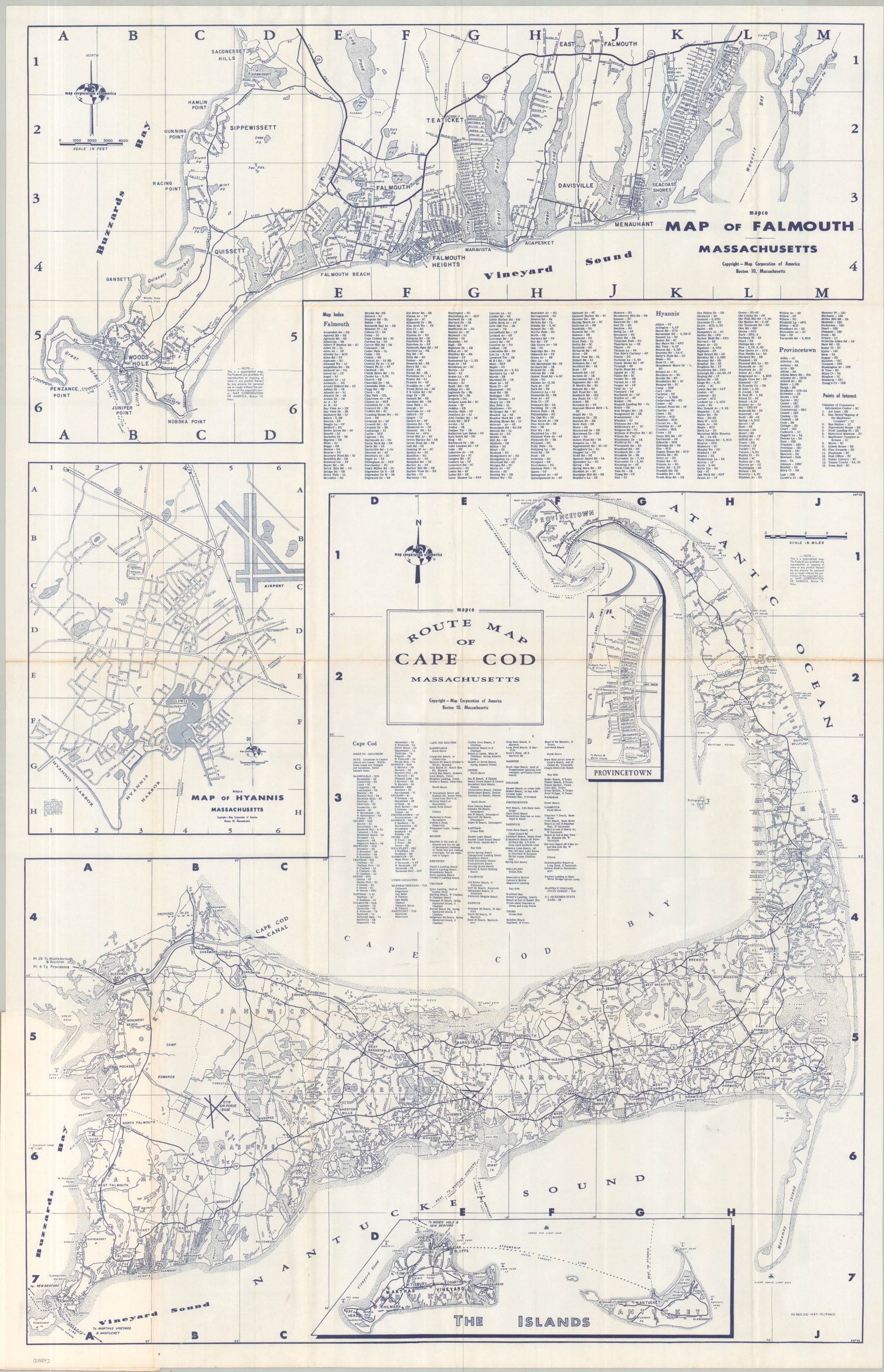
This detailed pocket map of Cape Cod presents an informative transportation overview of the peninsula during its postwar tourism boom years. The central image offers a small-scale road map of the peninsula, noting one federal highway (Route 6) and several state routes. Geographic features and important local landmarks are labeled throughout. Larger-scale street plans of Falmouth and Hyannis are also provided, along with an inset of Martha’s Vineyard and Nantucket Island.
The map, a revised edition, was designed by the Map Corporation of America (MapCo), headquartered in Boston. Distributed by the Service News Company, Inc. of New Bedford, Massachusetts. The work is undated, but the first edition was issued in 1950 and this version was likely published around 1960, based on the progress of the Mid Cape Highway. The absence of the Cape Cod National Seashore (established in 1961) is a significant clue. The printer’s code in the lower right alludes to 1976, but MarCo’s operations apparently ceased in the late 1960s.
Source: British Library
Map Details
Publication Date: c. 1960
Author: Map Corporation of America
Sheet Width (in): 21.75
Sheet Height (in): 34.00
Condition: A-
Condition Description: Single-sided folding map affixed to illustrated stiff paper wraps. Creasing and minor wear along folds, with some minor discoloration along the horizontal centerfold. Faint marginal wear and a few tiny spots of surface soiling, consistent with age. Very good condition overall.
$110.00
1 in stock