
Lake Saint Clair
$50.00
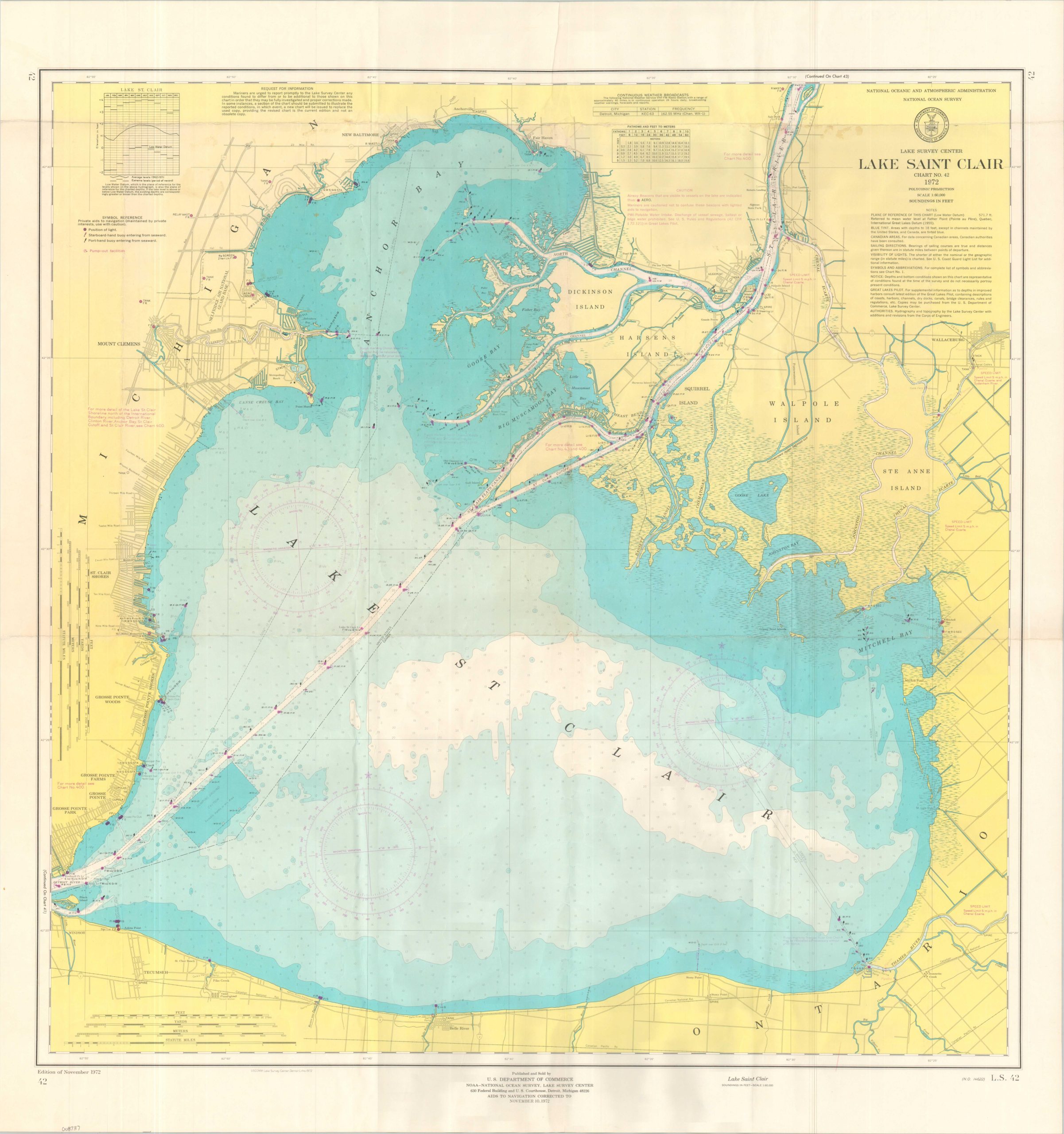
A large chart of Lake Saint Clair from the early 1970s.
1 in stock
Description
This informative chart of Michigan’s Lake Saint Clair was published in 1972 by the U.S. Department of Commerce, using data supplied by the Lake Survey Center of the National Oceanic and Atmospheric Administration. Depth soundings are noted throughout (darker water = shallower), and navigational beacons and buoys are highlighted in purple. The St. Clair Flats Canal bisects the large body of water, offering a safe shipping lane from the Detroit River to the St. Clair River. Coastal details are also provided.
Map Details
Publication Date: 1972
Author: National Oceanic and Atmospheric Administration
Sheet Width (in): 34.00
Sheet Height (in): 36.00
Condition: B
Condition Description: Single-sided color printed map on thick paper, creased and moderately worn along old folds. Some extraneous wrinkling, a bit of scattered discoloration, and light soiling visible throughout the sheet, but the color remains vibrant and the piece is ready for display. About good condition overall.
$50.00
1 in stock