
Wagner’s Complete Map of Cincinnati and the Kentucky Cities
$125.00
‘Pirated’ copy of a locally produced street plan of Cincinnati, Ohio.
1 in stock

Description
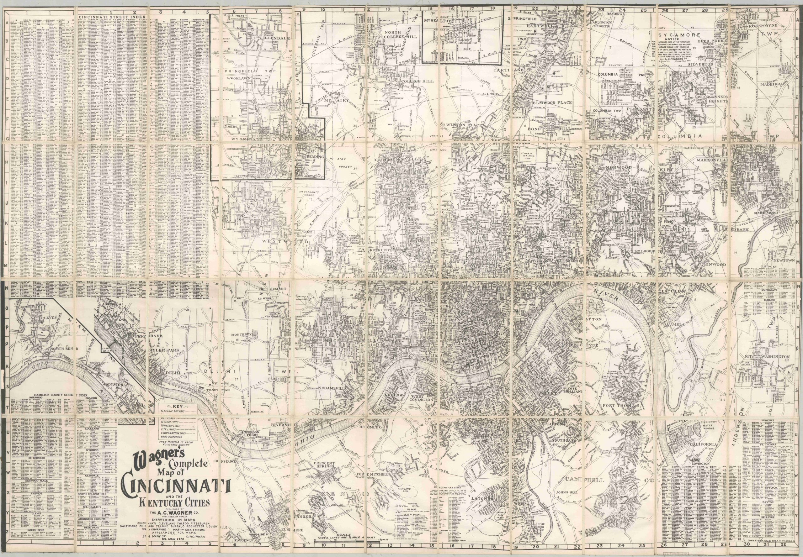
This wonderfully detailed map of Cincinnati, Ohio and the surrounding area was originally created and published around 1930 by the A.C. Wagner Company. This is a somewhat later reprinting – likely an unauthorized reproduction used in the real estate department of a local railroad company (based on similar examples and stamps on the verso).
The image offers a comprehensive snapshot of ‘The Queen City’ in the midst of the Great Depression, including its suburbs in Kentucky, south of the Ohio River. Aggressive urban expansion was facilitated by the electric rail lines running throughout much of the image. Transportation depots, medical facilities, parks, cemeteries, schools, and important industries are also labeled. Locations of interest include the University of Cincinnati, the Art Museum, and the William Henry Harrison Tomb.
Map Details
Publication Date: c. 1930
Author: A.C. Wagner Co.
Sheet Width (in): 47.5
Sheet Height (in): 32.75
Condition: A-
Condition Description: Large photomechanical reproduction, probably from the 1930s - 1940s, dissected into 32 segments and mounted on sturdy linen. Contemporary black leather covers with label affixed to the front. Scattered spotting and toning along the seams. A handful of manuscript annotations in red pencil. Small tear in the lower right margin. Very good condition overall.
$125.00
1 in stock