
Colton’s New Sectional Map of the State of Missouri
$400.00
An incredibly detailed map of Reconstruction-era Missouri by the talented Colton firm.
1 in stock

Description
This fine lithographed map of Missouri presents the Show Me State just five years after the end of the U.S. Civil War. Bitter partisan fighting took place across the state throughout the conflict and would continue into the Reconstruction Era. The notorious James–Younger Gang of outlaws was active around the time of publication; robbing banks, stagecoaches, and trains as one of the most wanted groups on the American frontier.
The image presents a detailed overview of Missouri’s transportation network, consisting of roads, canals, and railroads (both constructed and proposed). Township and county borders, mills, and settlements of various sizes are identified according to the legend in the center-right. Local industries (furnaces, taverns, etc.), post offices, geographic features, and mineral deposits are also noted throughout, providing a comprehensive snapshot of the state’s economy and geography.
The map is enclosed within an elaborately decorative border typical of the publishing firm. Issued by G.W. & C.B. Colton & Co. in New York in 1870. One of two maps of Missouri issued by Colton’s Geographical Establishment that year.
Sources: Huntington Library (alternative example); Reconstruction Politics in Missouri;
Map Details
Publication Date: 1870
Author: G.W. & C.B. Colton & Co.
Sheet Width (in):
Sheet Height (in):
Condition: B
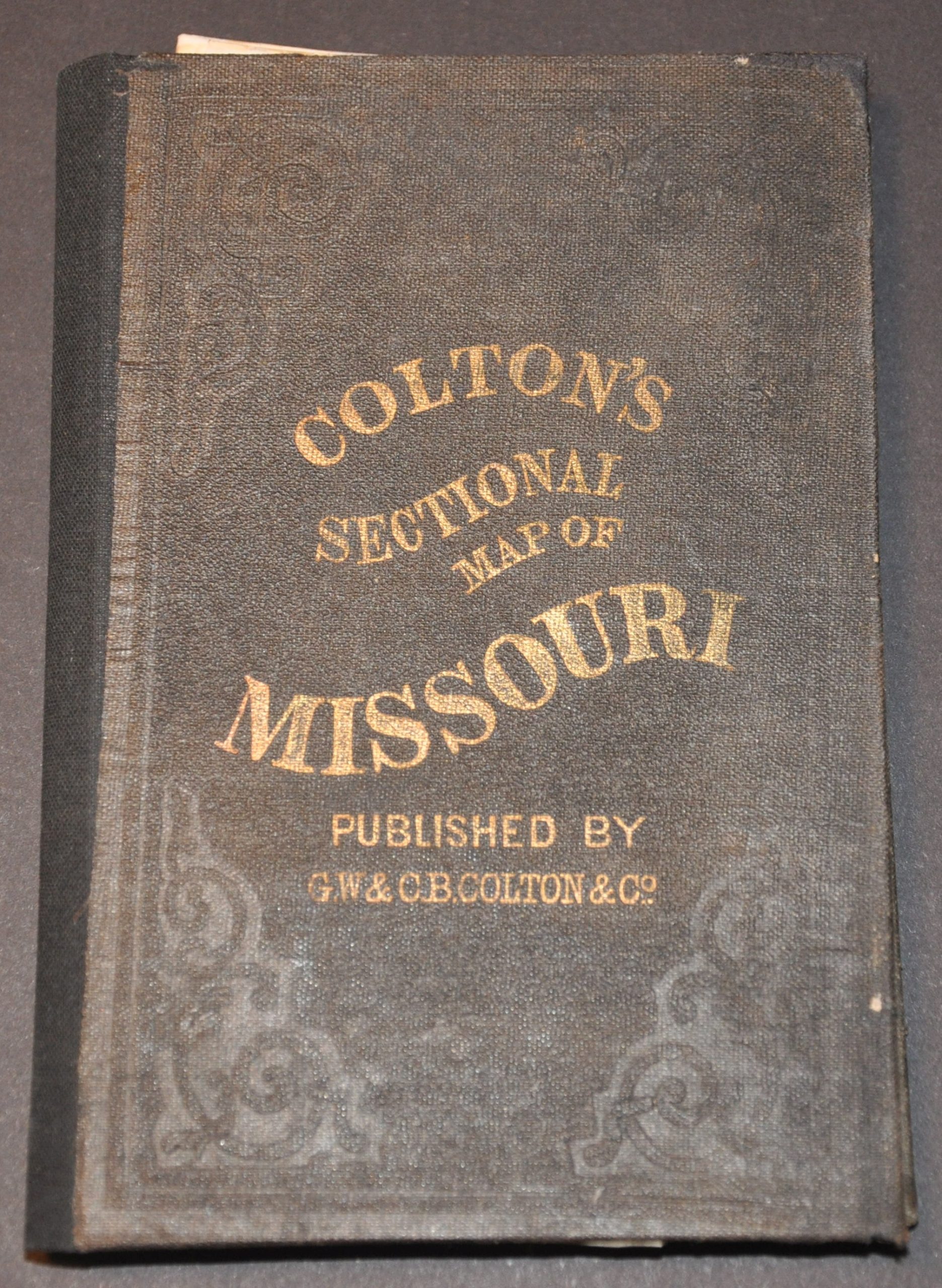
Condition Description: Pocket map folded into 72 segments and affixed to original dark brown cloth boards with gilt title. Professionally restored and repaired, with numerous areas of paper fill visible along the fold lines (see below title, center left for two noticeable examples). Some scattered minor discoloration is visible along a few creases, as well. Remains in good condition overall, with attractive original color.
$400.00
1 in stock