
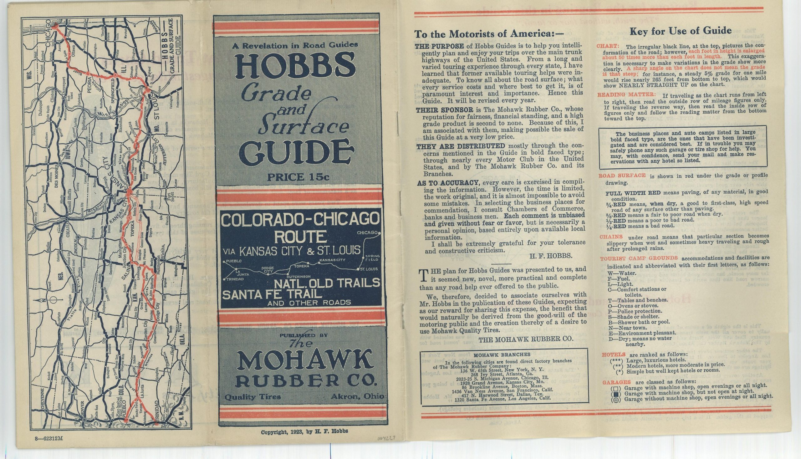
Hobbs Grade and Surface Guide Colorado – Chicago Route Natl. Old Trails Sante Fe Trail and Other Roads
“The purpose of Hobbs Guides is to help you intelligently plan and enjoy your trips over the main trunk highways of the United States.” [text on verso]
Out of stock
Description
In 1921, Howard Hobbs created his first innovative Hobbs Grade and Surface Guide. Issued on an annual basis until the early 1930s, the booklets were sponsored primarily by the Mohawk Rubber Company of Akron, Ohio, and covered one of America’s primary highways. At least 25 different routes were ultimately covered in tremendous detail.
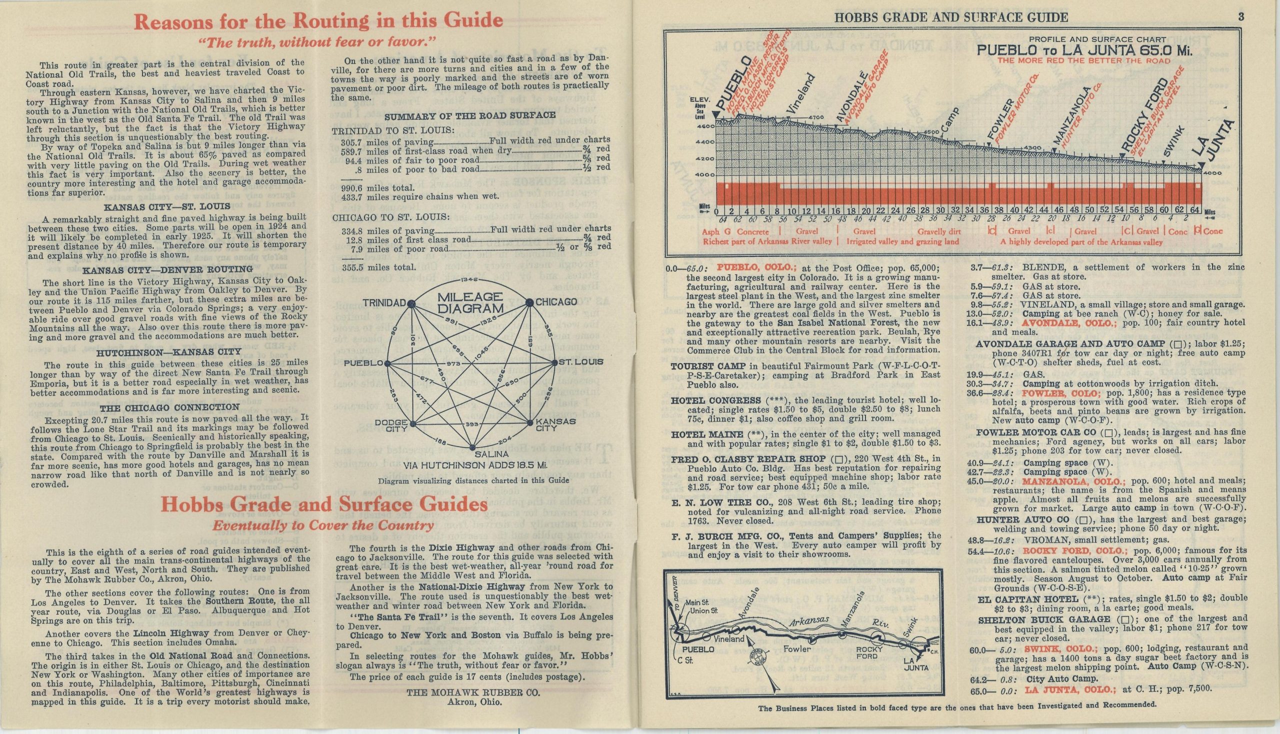
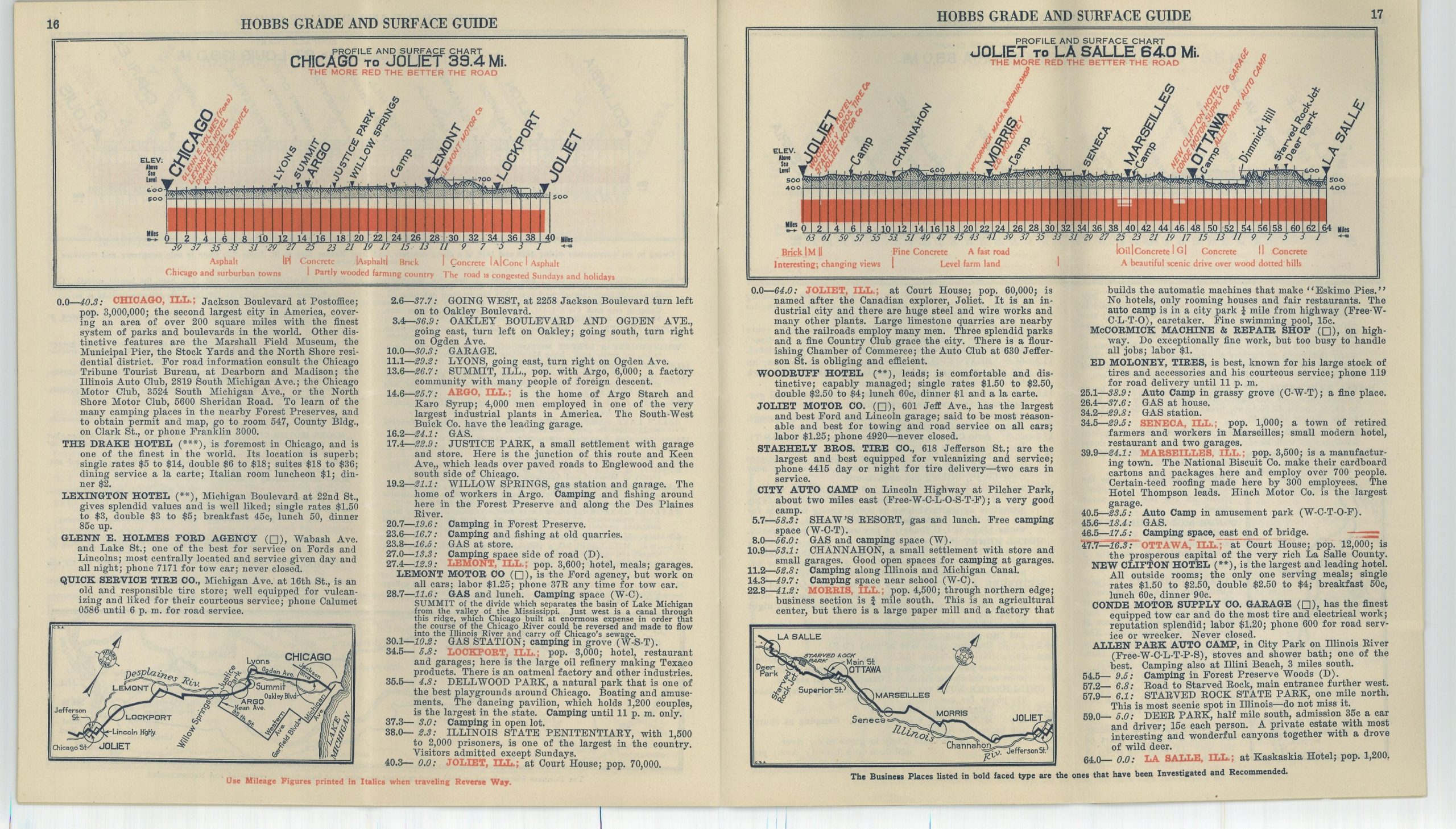
Each page of the guide presents a detailed diagram of the route’s elevation and surface composition, a small strip map, a list of motorist’s amenities (lodging, garages, restaurants, etc.), and ‘intimate notes’ that provide a fascinating contemporary snapshot into automobile tourism of the early 20th century.
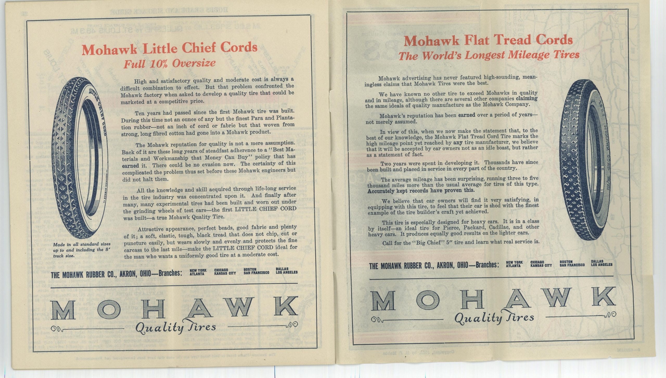
This example was published in 1923 and shows a combination of the Old National Trails and the Sante Fe Trail between Pueblo and Trinidad in Colorado and Chicago. In addition to the aforementioned information present on each page, the guide also includes a key for use, advertisements for Mohawk rubber products, an innovative mileage diagram, and a map of the route on the back panel.
For more information on the Mohawk-Hobbs Grade and Surface Guides, check out my blog post here.
Map Details
Publication Date: 1923
Author: Howard F. Hobbs
Sheet Width (in): See Description
Sheet Height (in): See Description
Condition: A
Condition Description: 22 pages of maps with stapled binding that folds down twice into a 4" x 9" brochure. Light wear and a few tiny tears on the exterior wraps, but in very good to near fine condition overall.
Out of stock