
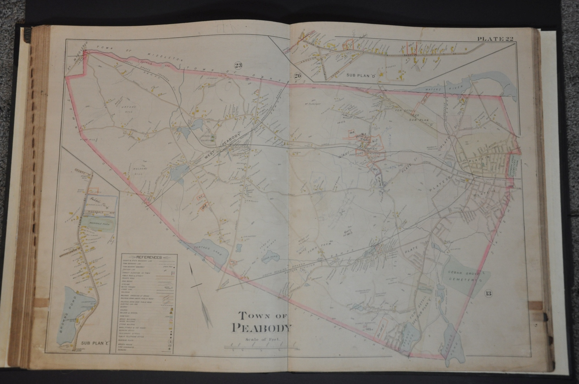
Atlas of the City of Salem Massachusetts, including, also, the towns of Marblehead, Peabody and Danvers.
Salem, Massachusetts near the end of the 19th century.
Out of stock
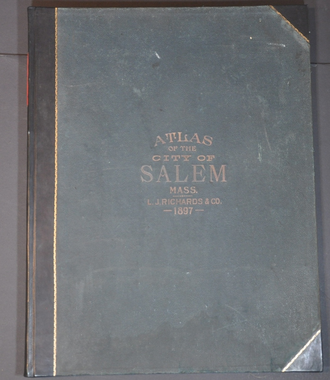


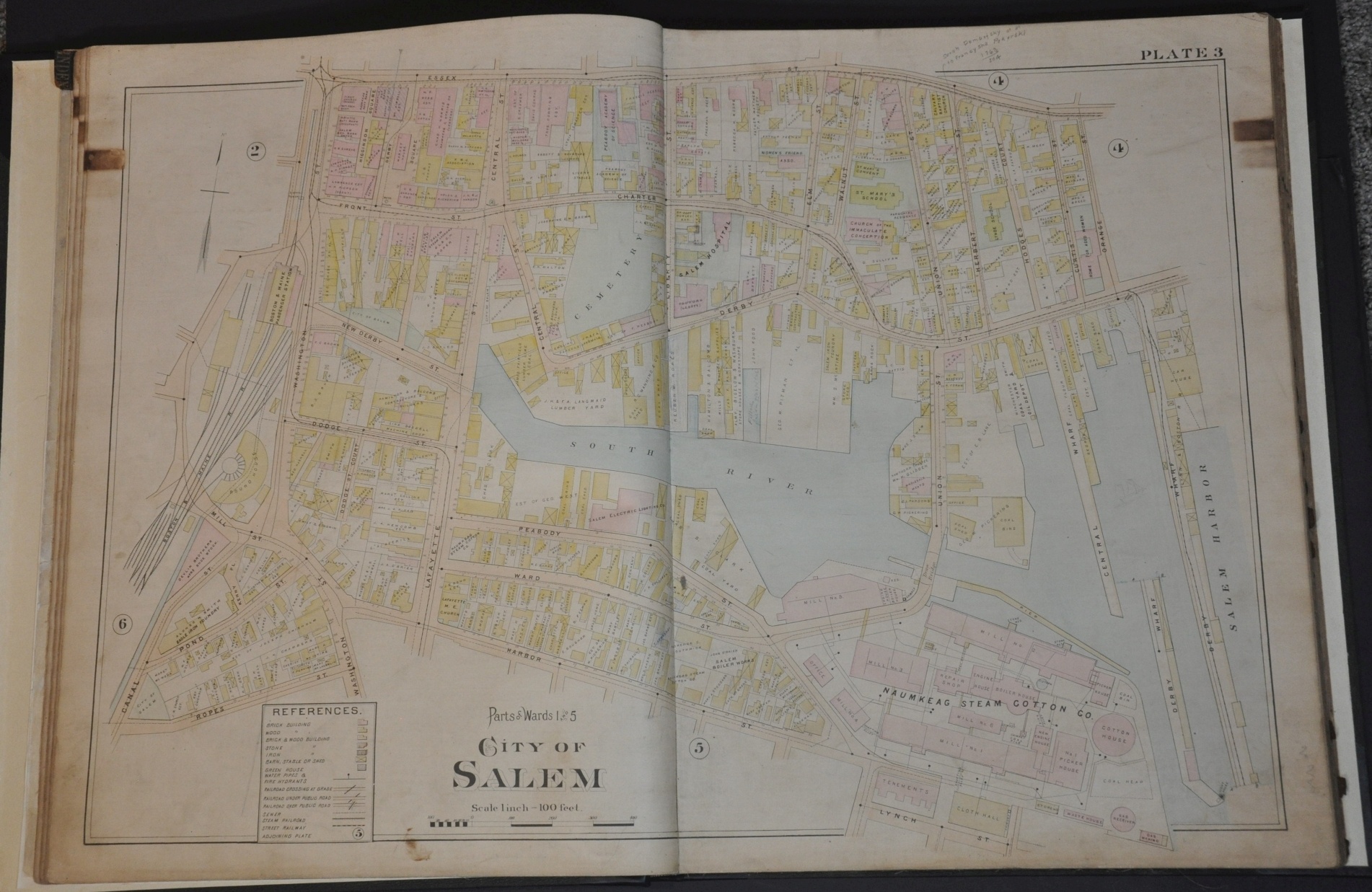
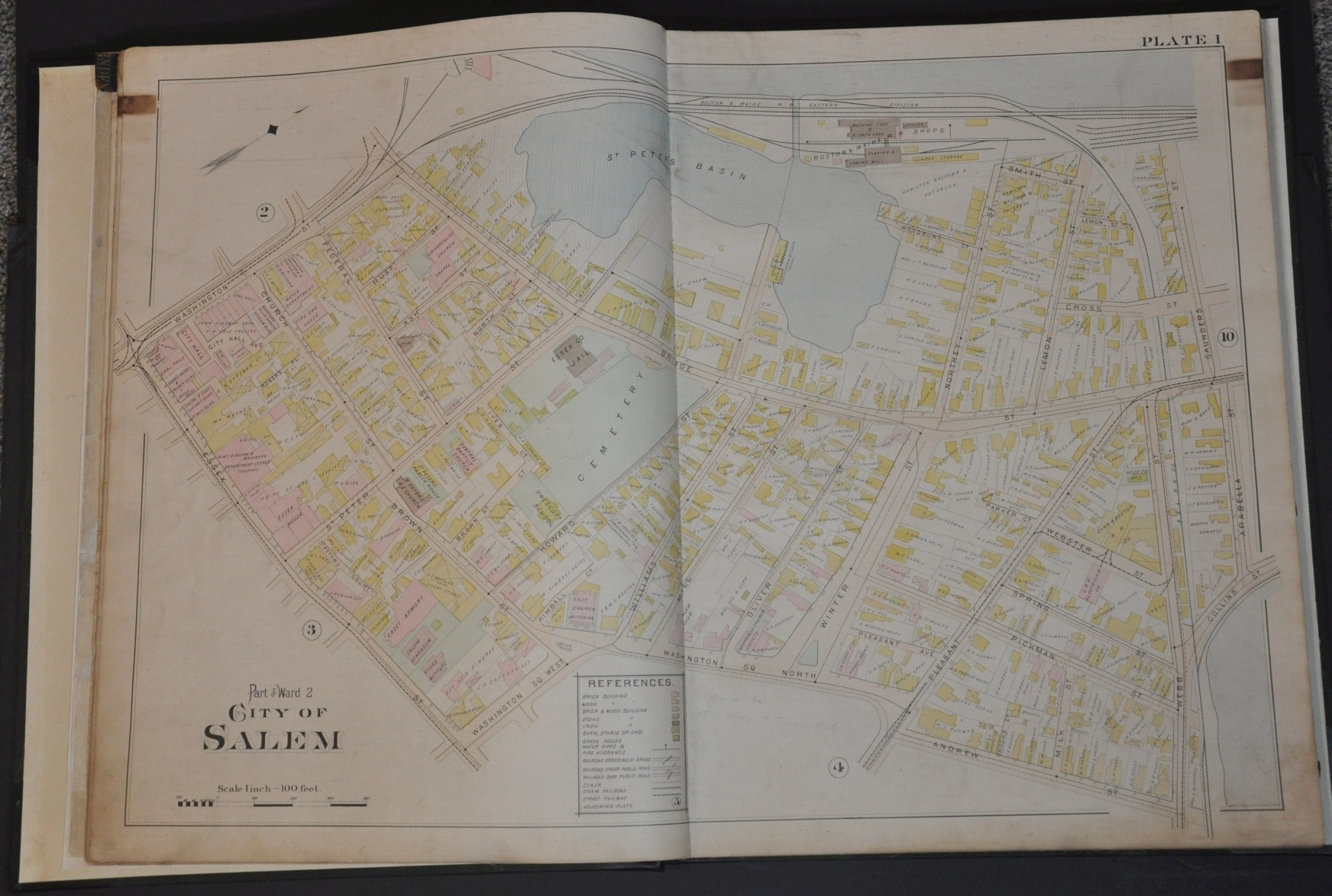


Description
This tremendously detailed atlas covering the city of Salem, Massachusetts and nearby towns of Marblehead, Peabody and Danvers was published over 200 years after the famous witch trials with which the place remains associated to this day. Despite its history dating back to the 1700’s, the town of Salem was only incorporated in 1836, and three years later adopted the motto “To the Farthest Ports of the Rich East.”
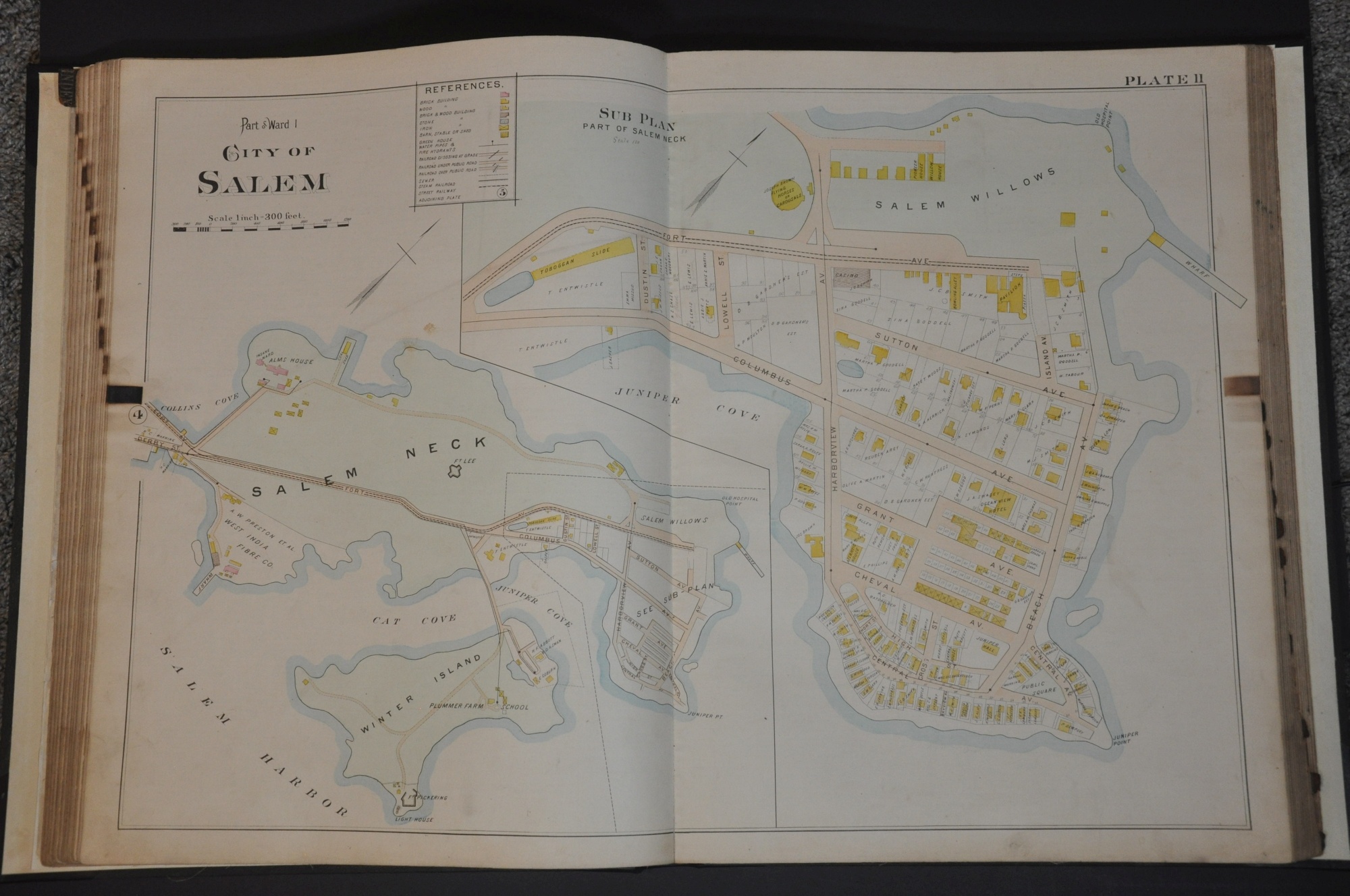
The maritime affiliation remained Salem’s strongest cultural identifier until the publication of Arthur Miller’s Crucible in 1953, at which point public interest in the witch trials skyrocketed. Today, the only building standing that is historically associated with the trials is the Corwin House, constructed about 1640. On plate two, the lot is identified as George Farrington’s estate – he operated a small museum and gift shop and was one of the first entrepreneurs to capitalize on the witch theme.
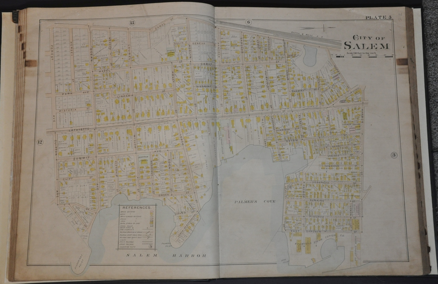
The atlas contains 28 double-page maps issued at scales varying from 1 in. = 100 feet to 1 in. = 500 feet. Infrastructure details like sewer lines, water pumps, streetcar routes, and railroads are depicted on each sheet. Buildings are individually outlined and colored according to their primary construction material, with the owner or purpose individually labeled on each lot. Barnes, stables, or sheds, almost guaranteed to store combustible material, are marked with an ‘X’.
All of this information was particularly useful for determining risk for fire insurance premiums, as the risk for urban conflagrations was a constant threat during the 18th and 19th centuries. The Great Salem fire of 1914 burned down much of the city and left nearly half its population homeless.
Map Details
Publication Date: 1897
Author: L.J. Richards & Company
Sheet Width (in): 17.5
Sheet Height (in): 22.5
Condition: B+
Condition Description: Professionally restored and rebound, with original cloth covers over new boards, gutters, and endpapers. Title page has been restored with paper fill around marginal loss and edge tears. Maps are issued on linen and therefore in good shape, save for moderate scattered soiling (consistent with age) and discoloration from former leather pull tabs. Old manuscript annotations in graphite, red, and blue pencil on several sheets. Complete, with 28 double page maps, title page, and a four page business directory.
Out of stock