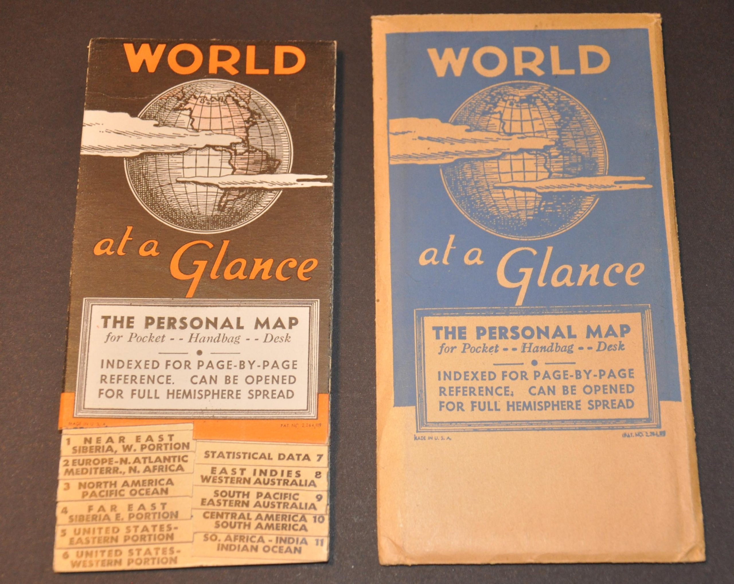
World at a Glance
$45.00
THE PERSONAL MAP for Pocket – Handbag – Desk
1 in stock
Description
This fun little reference guide claims to present the World at a Glance, and to some extent, it’s quite successful! Twelve panels of stiff paper are sandwiched between two cardboard covers and unfold to present vibrant maps of the Northern and Southern Hemispheres.
Each primary image only takes up 7 of the 12 ‘pages’, while the others are occupied by a map of the United States (3), tables of population statistics (4); an index of countries (1); and a list of cities with populations above 500,000 (1). The back cover presents a table of airline distances between important cities around the world.
Published by the American Map Company in New York, probably around 1942-1943. National borders are pre-WWII, as noted on one panel. The handy guide would have been a useful tool for those looking to stay ‘in the know’ about action overseas during World War II and is one of a myriad of geographic publications issued to an American audience during the war.
Map Details
Publication Date: c. 1942
Author: The American Map Company
Sheet Width (in): 3.5
Sheet Height (in): 6.5
Condition: A
Condition Description: Near fine condition, with original envelope. Light wear and faint toning, consistent with age but minimal use.
$45.00
1 in stock


