
[WLS World War II Maps]
$80.00
Broadcasting the latest war updates to rural America.
1 in stock
Description
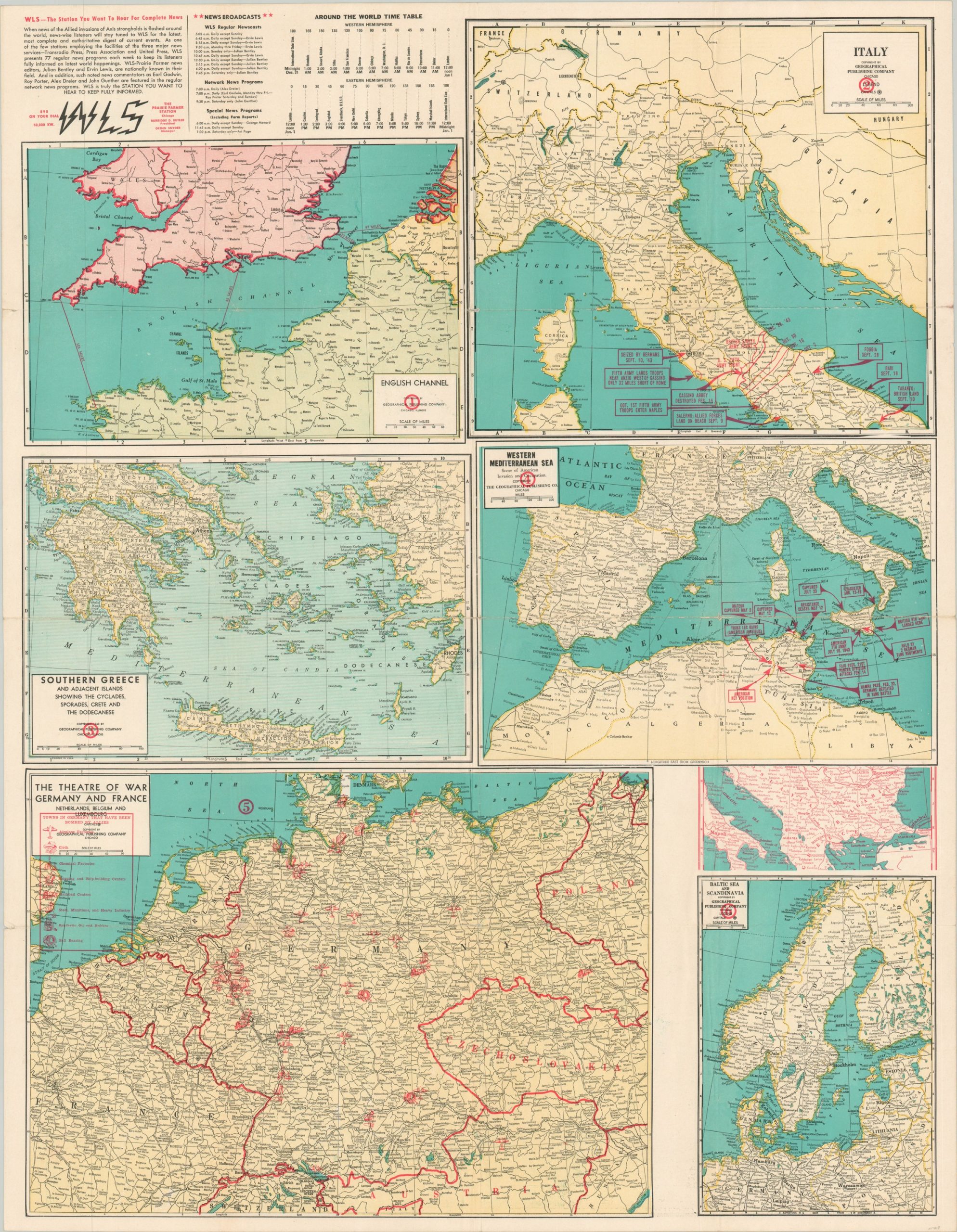
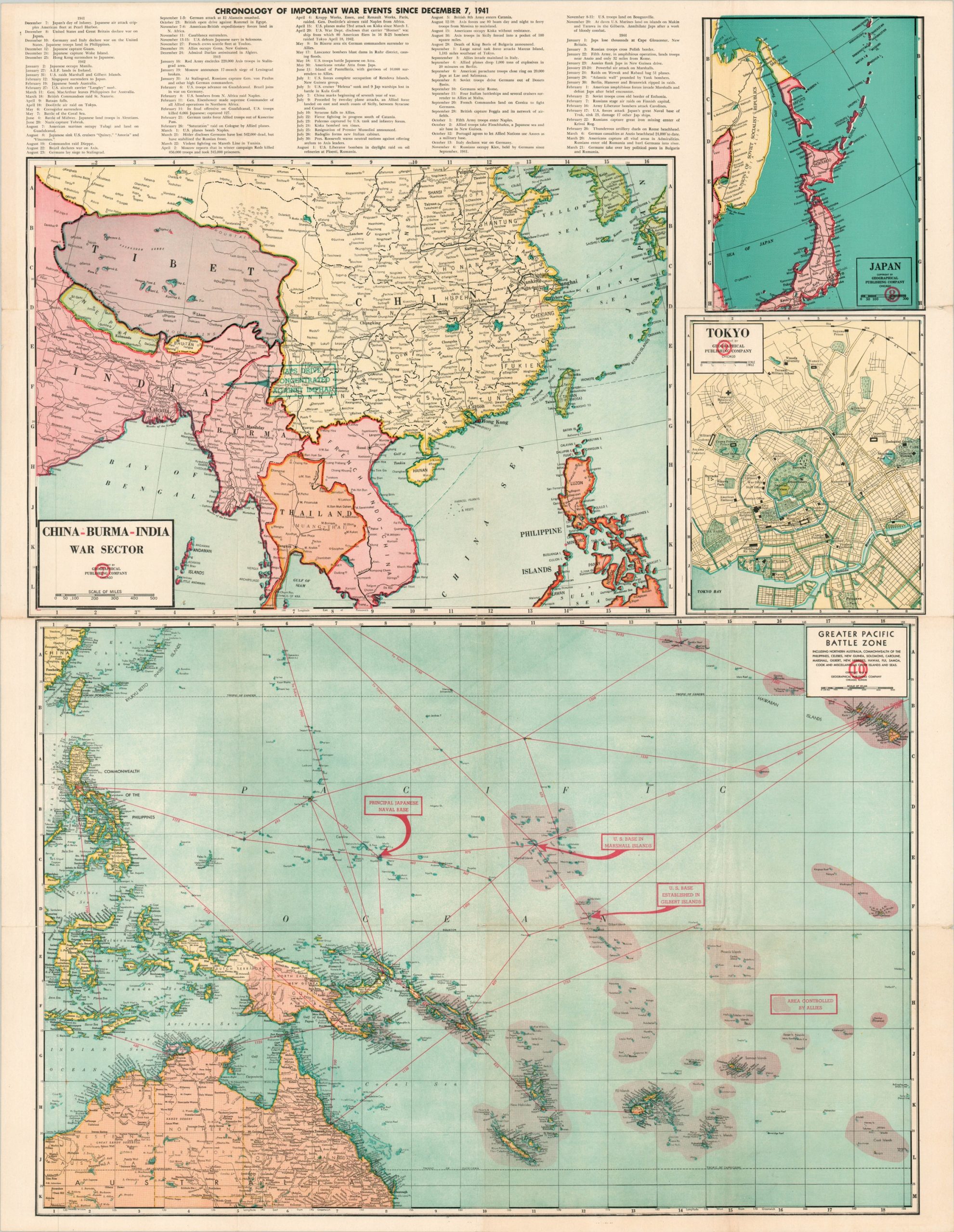
This interesting double-sided sheet was published by the Geographical Publishing Company of Chicago in 1944 on behalf of WLS – the Prairie Farmer station. Though the station’s content was primarily aimed at a rural, agrarian audience, the global impact of the Second World War ensured that coverage of the conflict would spread to all corners of the country. According to the text in the upper corner, “news-wise listeners will stay tuned to WLS for the latest, most complete and authoritative digest on current events.”
Ten maps showing various theaters of the conflict are presented and include the English Channel, Italy, Western Mediterranean, Southern Greece, Western Front, Baltic Sea, Pacific Theater, East Asia, Japan, and an inset plan of Tokyo. Overlaid red ink highlights many important individual actions and bombing targets. A chronology of events between December 7, 1941 and March 21, 1944, is provided, in addition to a table outlining global time zones.
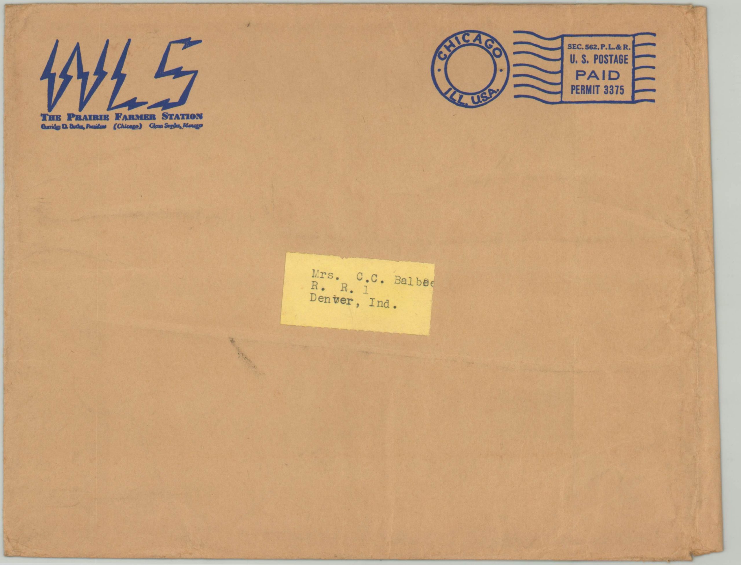
Includes the original mailing envelope addressed to a Mrs. C.C. Balbee of Denver, Indiana, a town of about 500 inhabitants.
Map Details
Publication Date: 1944
Author: WLS The Prairie Farmer Station
Sheet Width (in): 27.75
Sheet Height (in): 36
Condition: B+
Condition Description: Moderate wear along originally issued fold lines, including small tears around the outer edges, spots of separation at fold intersections, and creasing. Includes original envelope.
$80.00
1 in stock