Wisconsin
$225.00
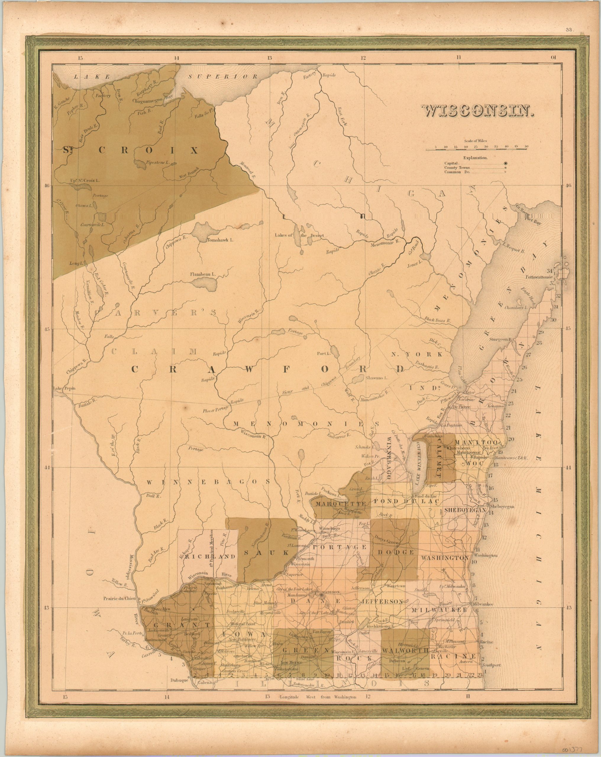
The first edition of Mitchell’s map of Wisconsin, predating statehood by two years.
1 in stock
Description
This detailed map of the territory of Wisconsin was published by Samuel Augustus Mitchell for the first edition of his New Universal Atlas (1846). The southeastern portion of the territory is shown as having been surveyed and divided into townships and counties, while the northern two thirds is largely devoid of white settlement or significant transportation routes outside of the numerous navigable rivers. On these, portages and rapids are individually labeled.
Several Native American tribes are shown, including a boundary with the Chippewa and Sioux. The image also shows Carver’s Claim, a large area in the northwest claimed by the descendants of the first English speaking explorer to travel there.
Map Details
Publication Date: 1846
Author: Samuel Augustus Mitchell
Sheet Width (in): 13.75
Sheet Height (in): 17.25
Condition: B+
Condition Description: The sheet has somewhat faded from aged and shows a few small spots of foxing, but in very good condition overall. Some toning around the outer edges. The original hand color shows some lightening and oxidation, which gives an antiquated look.
$225.00
1 in stock

