
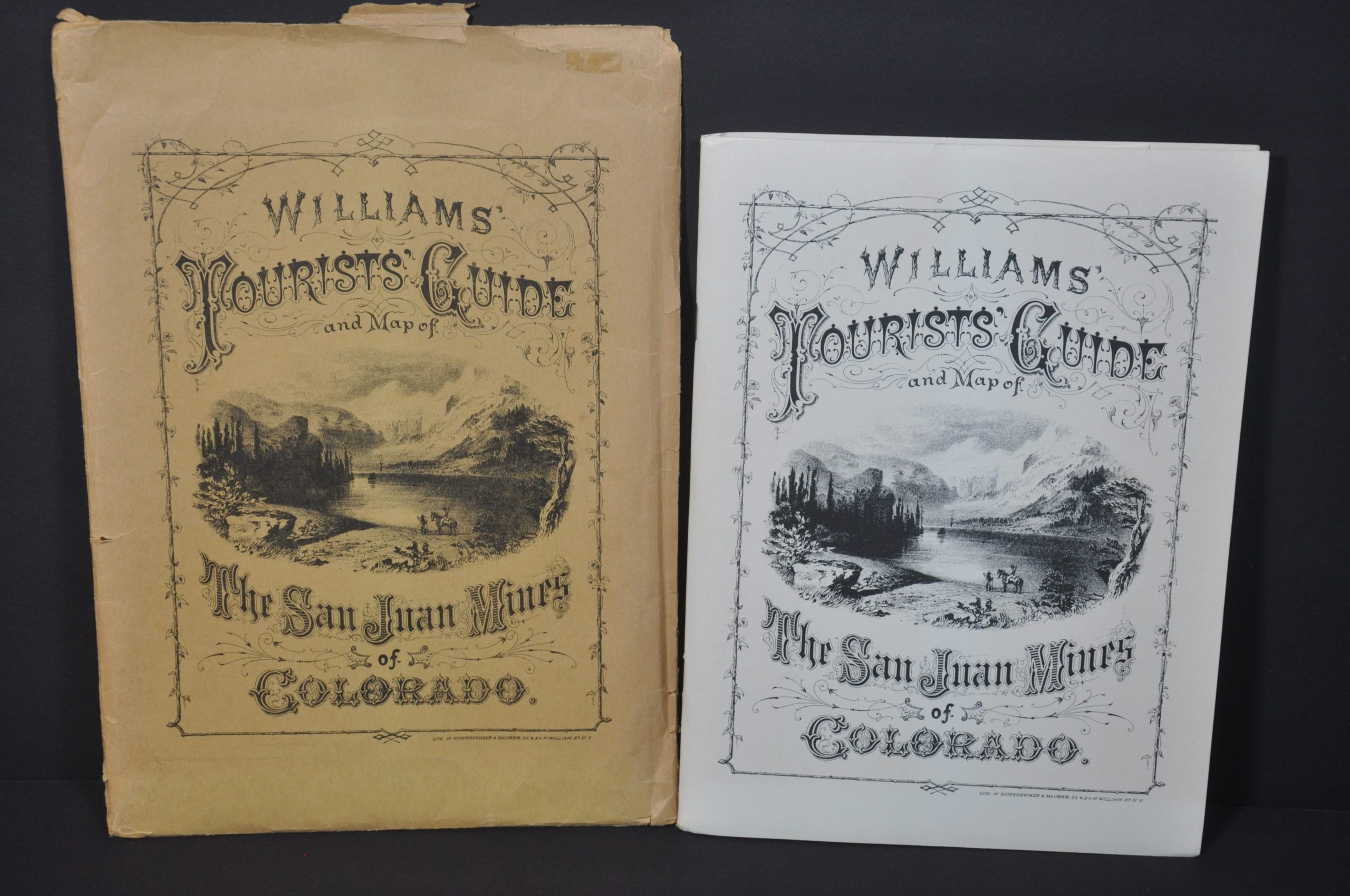
Williams’ Tourist Guide and Map of the San Juan Mines of Colorado
Later reprint of an important 19th century guidebook to Colorado, with three folding maps.
Out of stock



Description
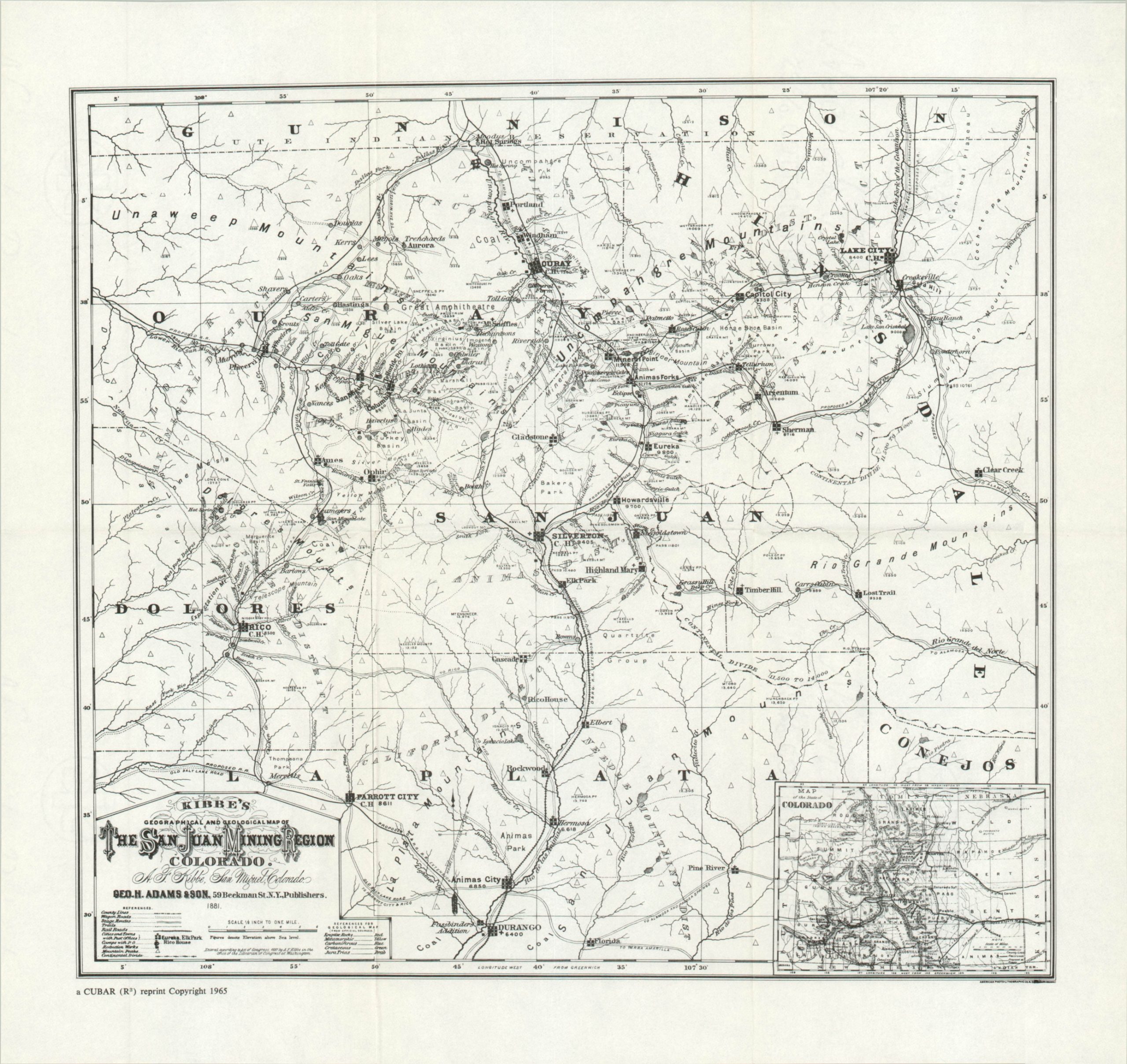
“In reprinting the William’s Guide to the San Juan Mines, 1877, the publishers have omitted the map which appeared with the original work. In their opinion, it did not contain sufficient information for the modern reader. In its place they have reprinted the extremely rare Williams’ Tourists’ Map of Colorado and the San Juan Mines, 1877; Nell’s Map of the San Juan, Gunnison, and California Mining Regions, 1880; and Kibbe’s Map of the San Juan Mining Region, 1881.
These three maps show the subsequent development of the roads and towns. Many of the latter are remembered in name only and all visible traces have disappeared. We hope that these maps will be of assistance to historians, ghost town hunters, and others interested in the early days of the San Juan Mining Region.” [text, map pocket]
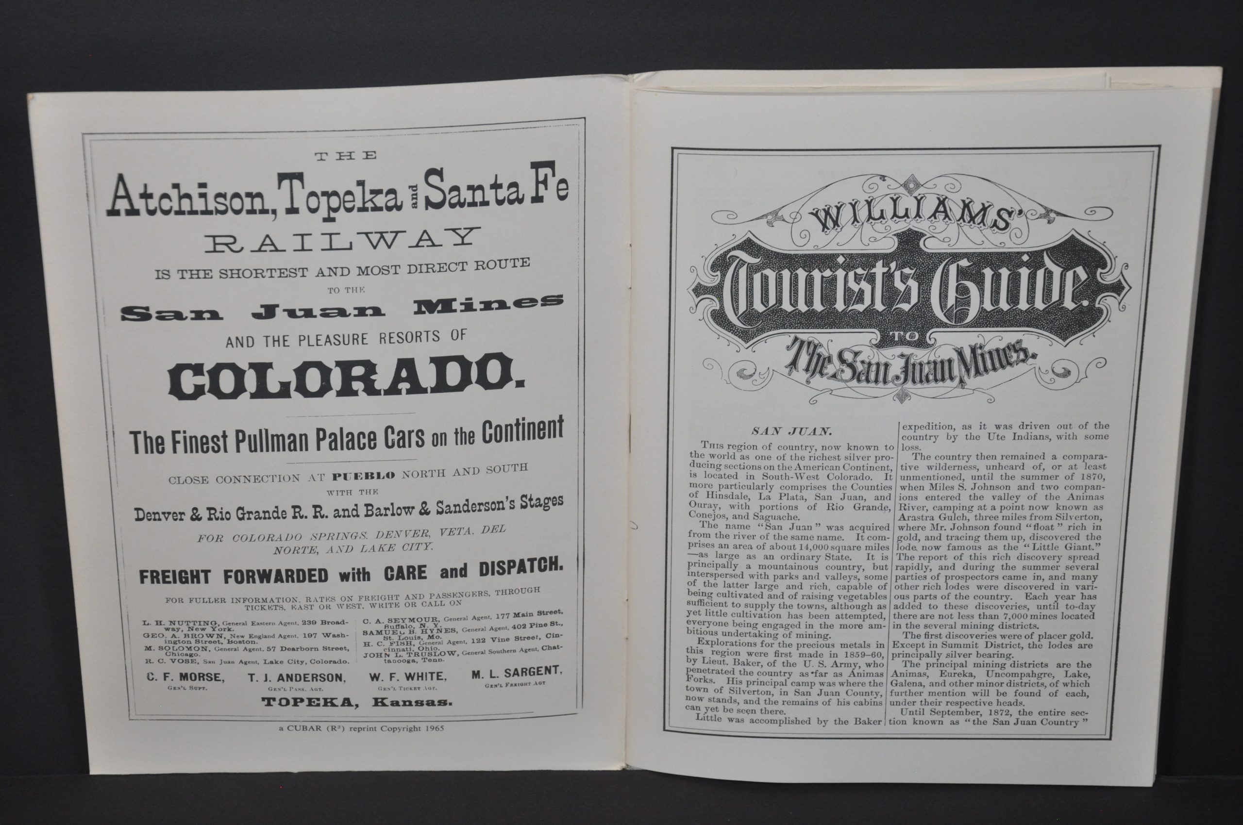
Originally published in 1877 by Henry T. Williams, Williams’ Tourist Guide and Map of the San Juan Mines of Colorado is a fascinating piece of early Colorado history, with numerous contemporary advertisements, gripping details about the frontier, and attractive plates of Western scenery. This is a 1965 reprinting, issued in Golden, Colorado by Cubar (R3) Associates Francis Rizzari, Richard, Ronzio, and Charles Ryland.
Map Details
Publication Date: 1965
Author: Cubar (R3) Associates
Sheet Width (in): See Description
Sheet Height (in): See Description
Condition: A
Condition Description: 1965 reprinting with three folding maps in a back pocket. Includes original envelope, heavily worn.
Out of stock