[William H. Brown & Co. Lands in North Dakota]
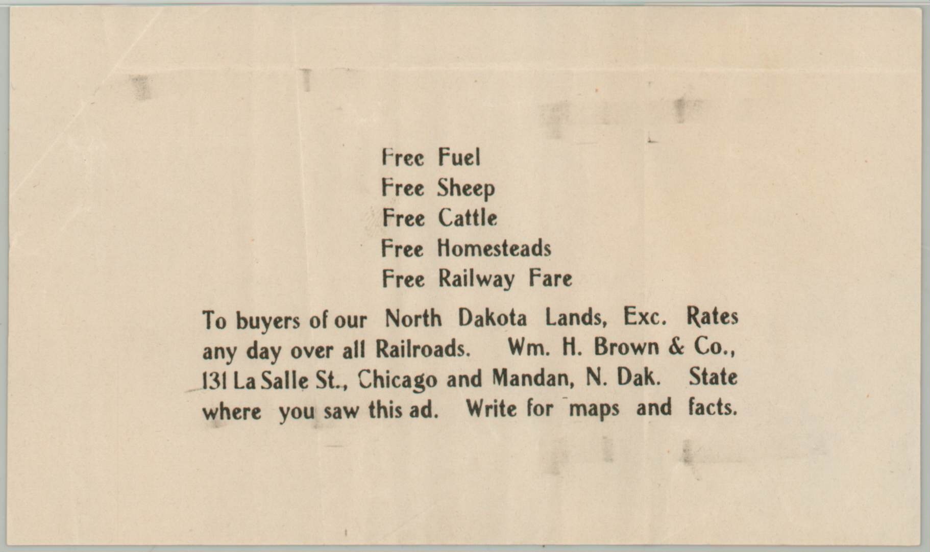
Free Fuel Free Sheep Free Cattle Free Homesteads Free Railway Fare [Leaflet]
Out of stock
Description
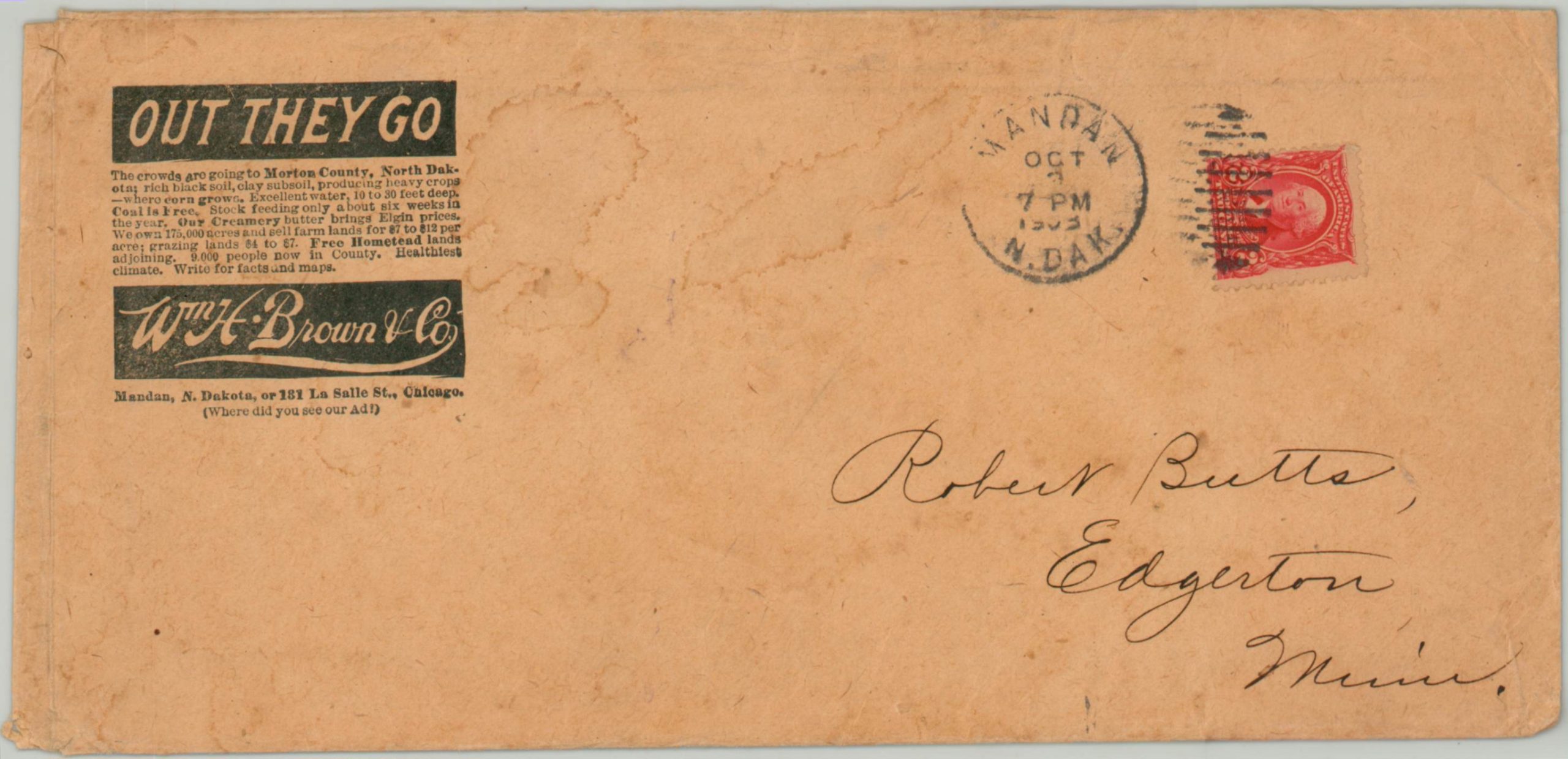
According to the original postmarked envelope, this marvelous group of promotional items was sent to Robert Butts of Edgerton, Minnesota in 1903 by W.H. Brown & Company. The real estate firm held offices in Chicago, Illinois and Mandan, North Dakota, and owned over 150,000 acres for sale around the latter. Several towns, including Flasher (1902), were platted by the company under the authority of founder William Henry Brown, who also briefly served as mayor of Devil’s Lake, N.D.
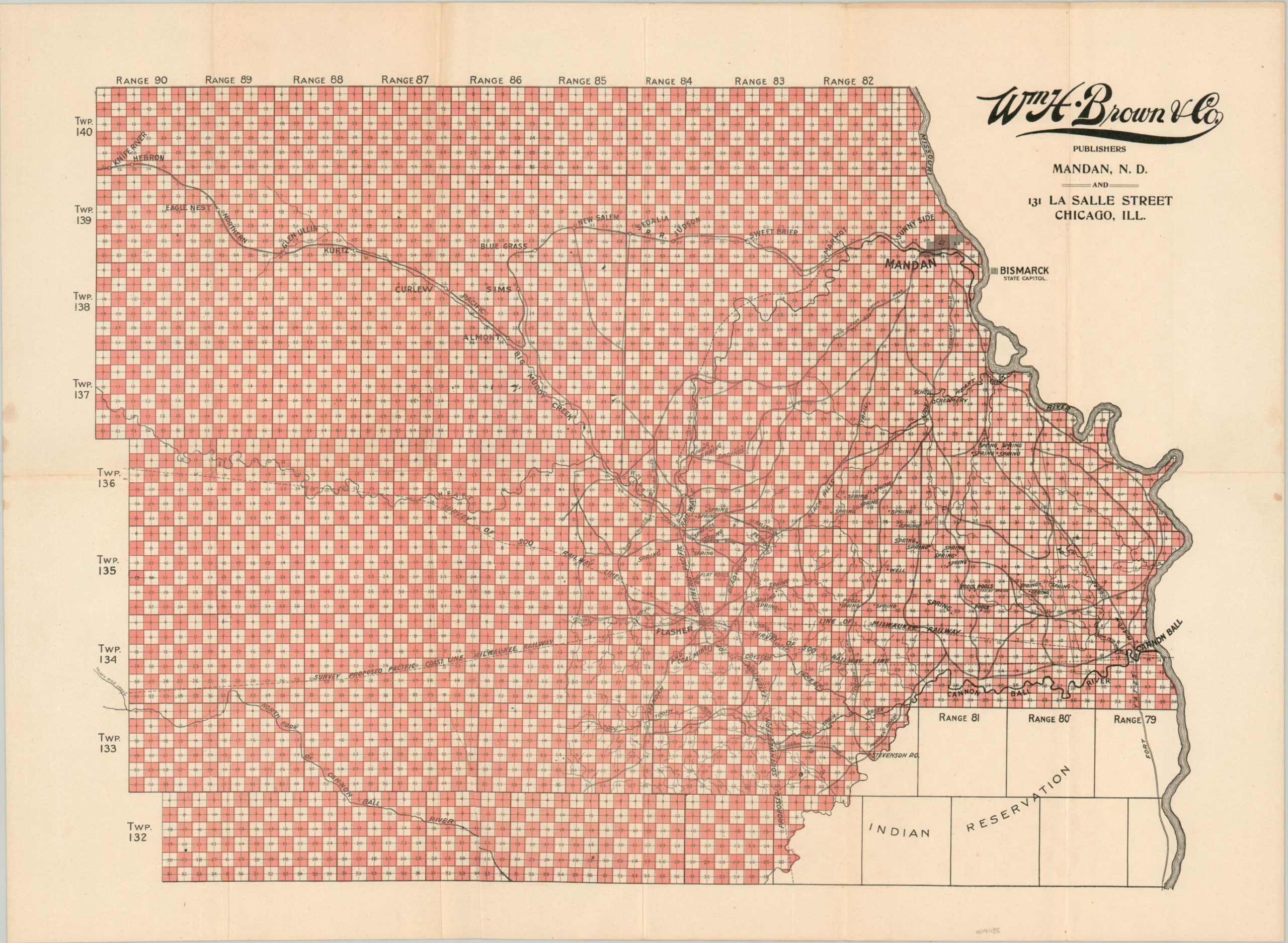
The ephemeral collection includes a fold-out map that shows the available lands in southern North Dakota, noting the location of springs, mines, creameries, wagon roads, and both constructed and proposed railway lines. Bismarck lies just across the Missouri River and the northern portion of Standing Rock Indian Reservation can be seen in the lower right.
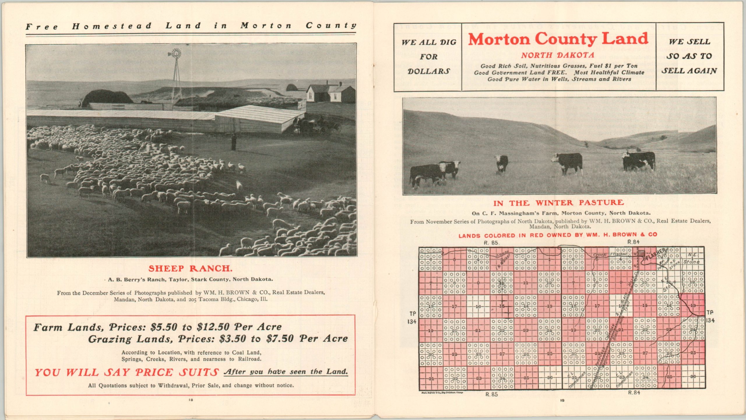
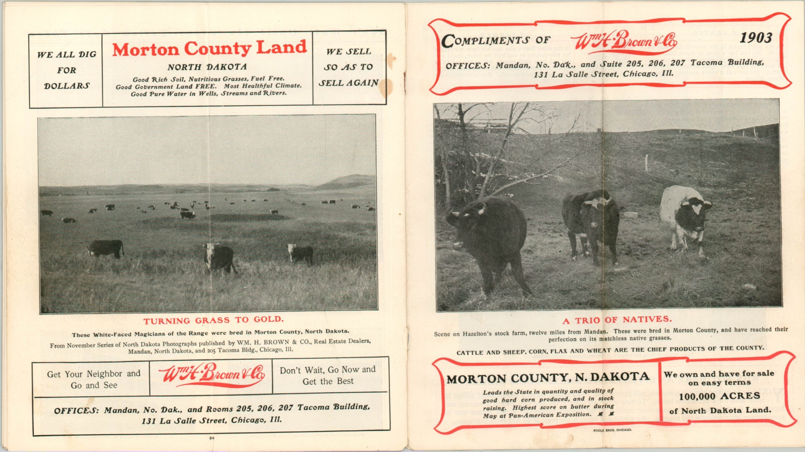
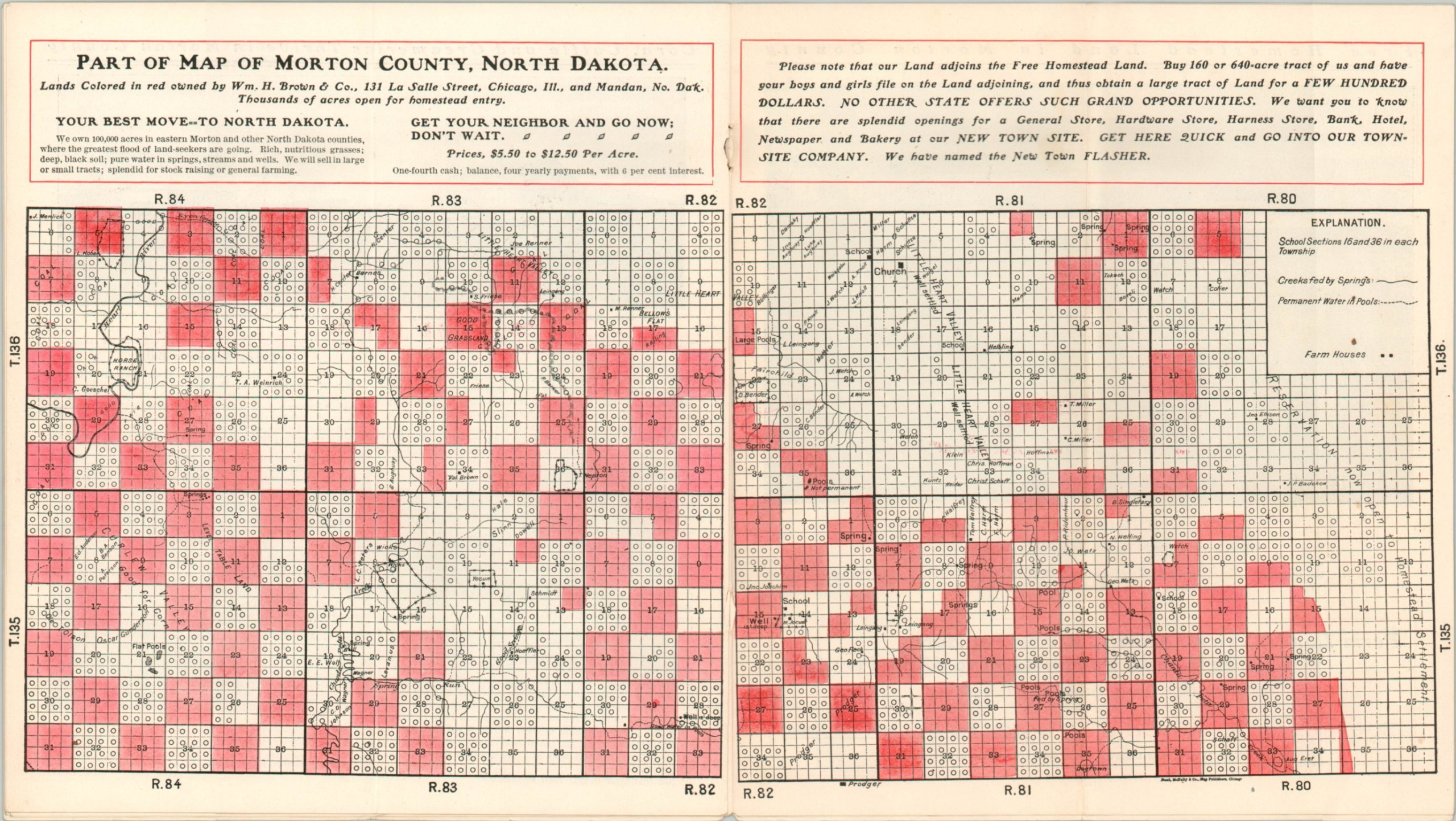
In addition to the folding map, a twelve-page brochure presents a strong case to the prospective emigrant with bold text, photographs, and further maps highlighting the numerous amenities of the land. ‘Land is the Basis of Wealth’, ‘JUST THINK A MOMENT’, and ‘North Dakota has sufficient coal to supply the world’ are just a few examples of the boosterism employed by W.H. Brown & Company in the pamphlet. Pictures of fat cattle, prosperous businesses, and rolling fields provide a more visual persuasion.
“LOOK CAREFULLY at this scene, for it is from a photograph of part of a farm in Morton County, North Dakota. THIS IS THE KIND OF LAND WE ARE SELLING AT FROM $5.00 to $12.50 AN ACRE. You can find rolling prairie and hilly pasture on almost every section of land we offer. And over all a luxuriant growth of those wonderful native grasses that have made the ranges of North Dakota famous.”
Map Details
Publication Date: 1903
Author: William H. Brown & Co.
Sheet Width (in): 21.3
Sheet Height (in): 15.6
Condition: A-
Condition Description: Collection of four separate pieces including a folding map, brochure, leaflet, and original mailing envelope. The map shows some light wear along fold lines and faint spotting, with about 4" of separation repaired on the verso with archival tape. The brochure is twelve double sided pages with stapled binding, folded once. It contains numerous maps, photographs, and blocks of text. Overall in very good condition.
Out of stock

