
Whitney’s Railroad to the Pacific
$400.00
Linking America’s future by rail and sea to the East.
1 in stock

Description
This early promotion of America’s Transcontinental Railroad was published by the Government Printing Office in 1850 to present the convincing argument of Asa Whitney, a dry-goods merchant who understood who a coast-to-coast rail network could transform the economic future of the U.S. Whitney took an extended trip to China a few years prior, where he began to understand the vast opportunities afforded by the Pacific trade. After victory in the Mexican-American War, the idea seemed closer to a reality than ever.
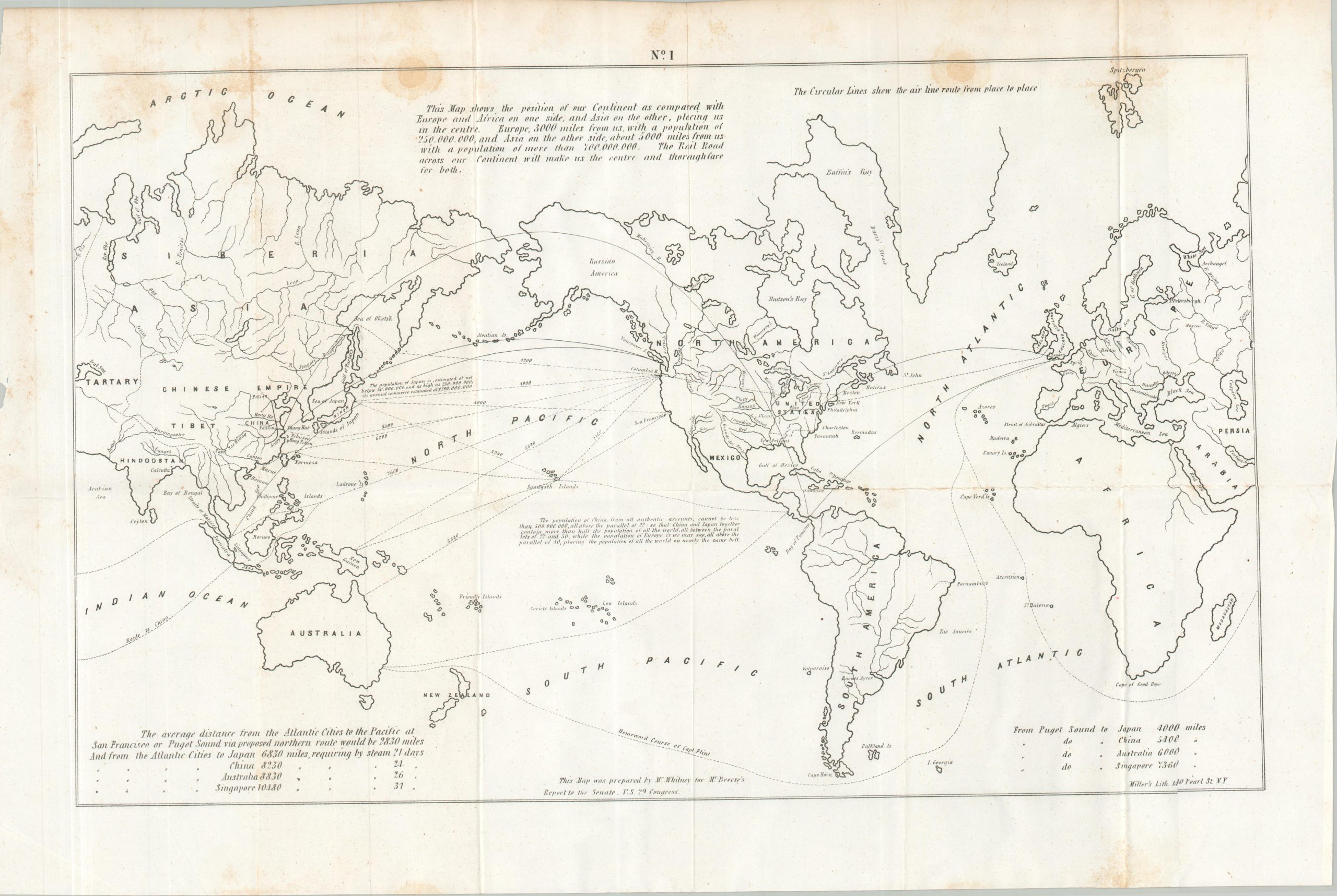
Two fold-out maps are included that highlight how this ambitious global transportation network could theoretically function. One map of the world places the United States firmly in the center of the interconnected web of railway and shipping lines. Statistics highlight the proximity and immense population of various regions across Asia. The second image shows a generalized overview of proposed transcontinental railroads across the U.S., including the Northern Route, the Southern Route, the Galveston Route, and the St. Louis Route.
Map Details
Publication Date: 1850
Author: Asa Whitney
Sheet Width (in): See Description
Sheet Height (in): See Description
Condition: A-
Condition Description: 117 pp. of text and two large fold-out maps, all bound with string, though lacking any sort of original covers or wraps. Contents show scattered spotting and faint foxing, consistent with age. Fold-outs (each about 22" x 15.5") have been disbound for scanning and show moderate foxing, though confined mostly to the areas adjacent to the text. Good condition overall.
$400.00
1 in stock