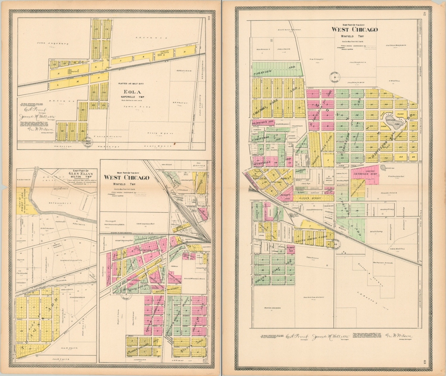
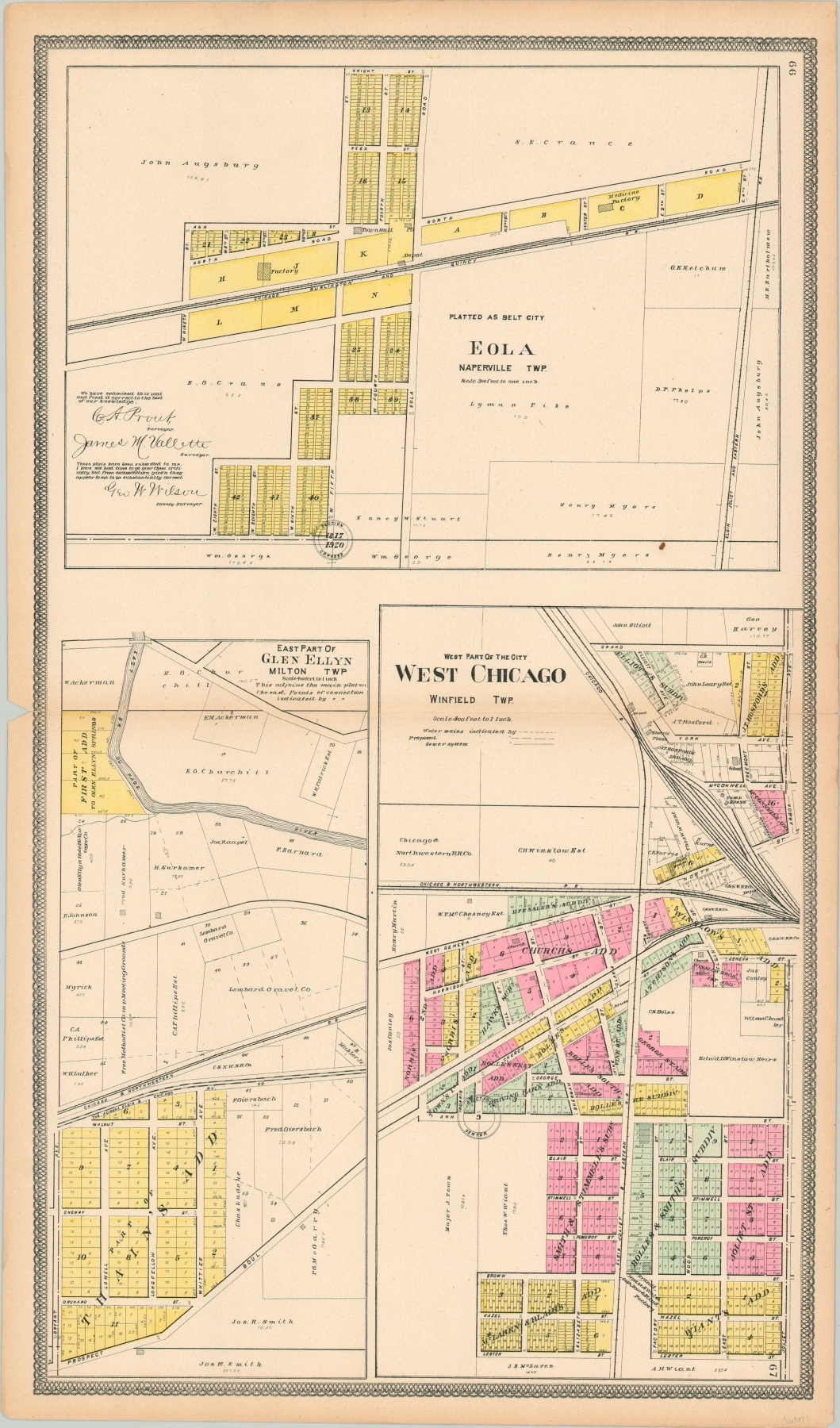
West Chicago [East and West Part of the City]
$110.00
West Chicago, only 30 miles from the ‘other’ Chicago!
1 in stock
Description
This pair of plat maps shows a detailed outline of West Chicago, Illinois in the early part of the 20th century. Originally incorporated as the Village of Turner in 1873, the town changed its name to West Chicago in 1896 in an effort to attract industry to the recently completed rail line.
The mildly duplicitous effort was evidently successful, as these maps by George Ogle show. Numerous residential subdivisions, a rail yard, roundhouse, robust infrastructure, and an opera house all reflect the town’s prosperity.
Map Details
Publication Date: 1902
Author: George Ogle
Sheet Width (in): 17.4
Sheet Height (in): 29.6
Condition: A-
Condition Description: Pair of maps with toned margins and light wear along the horizontal centerfold, consistent with age. A few inches of separation along the seam has been repaired on the verso with archival tape, but both sheets remain in very good condition overall.
$110.00
1 in stock


