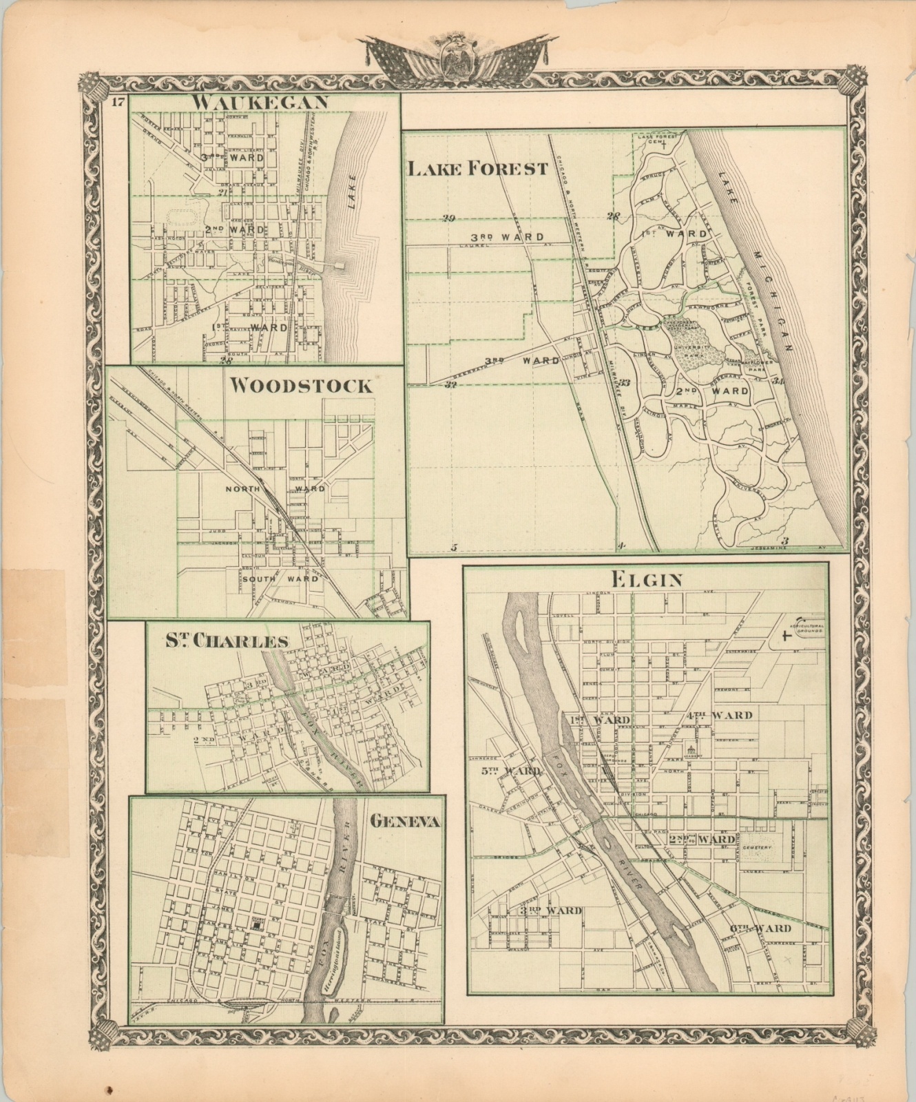
Waukegan, Woodstock, St. Charles, Geneva, Lake Forest, Elgin
$50.00
Street plans from several suburbs in the collar counties around Chicago.
1 in stock
Description
These small and simple street diagrams reflect the early settlement of the various communities lying between 15 and 30 miles of the growing metropolis of Chicago. Transportation routes, cemeteries, parks, and other various locations of interest are noted within each.
Each town – Lake Forest, Elgin, Geneva, Woodstock, St. Charles, and Waukegan – is accessible from Chicago via the Chicago & North West Railroad. Published by Warner & Beers in Chicago in 1876.
Map Details
Publication Date: 1876
Author: Warner & Beers
Sheet Width (in): 14.4
Sheet Height (in): 17.4
Condition: B
Condition Description: Heavily worn in the outer margin, including numerous tears, staining along the top, and a few small spots. The image remains intact and in good condition, with original color.
$50.00
1 in stock