Waukegan Harbor, Illinois
$95.00
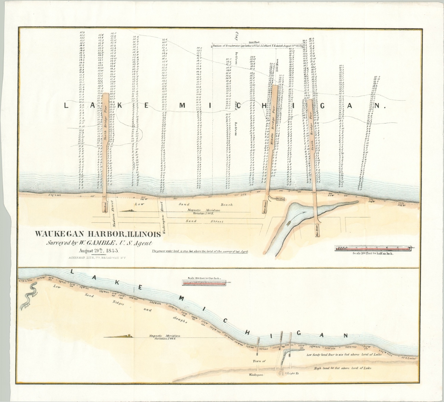
An early survey of Waukegan harbor.
1 in stock
Description
Waukegan harbor was constructed in 1850 and grew quickly to accommodate the export of grains and other commodities from the surrounding area. Chicago was one of the primary importers via maritime commerce, especially prior to a railroad connection between the two towns (1854).
This map, dated the year prior, shows recent improvements to accommodate the increasing traffic. The upper half shows depths around the three piers that extend into Lake Michigan, while the lower half presents a broader view of the town situated on the shore of Lake Michigan.
Map Details
Publication Date: 1853
Author: W. Gamble
Sheet Width (in): 17
Sheet Height (in): 15.5
Condition: A
Condition Description: Narrow left margin where previously bound, but otherwise in fine condition. A bright sheet, dark impression, and attractive hand color.
$95.00
1 in stock