
Waukegan Harbor, Illinois
$100.00
Early efforts to improve the harbor at Waukegan, Illinois.
1 in stock
Description
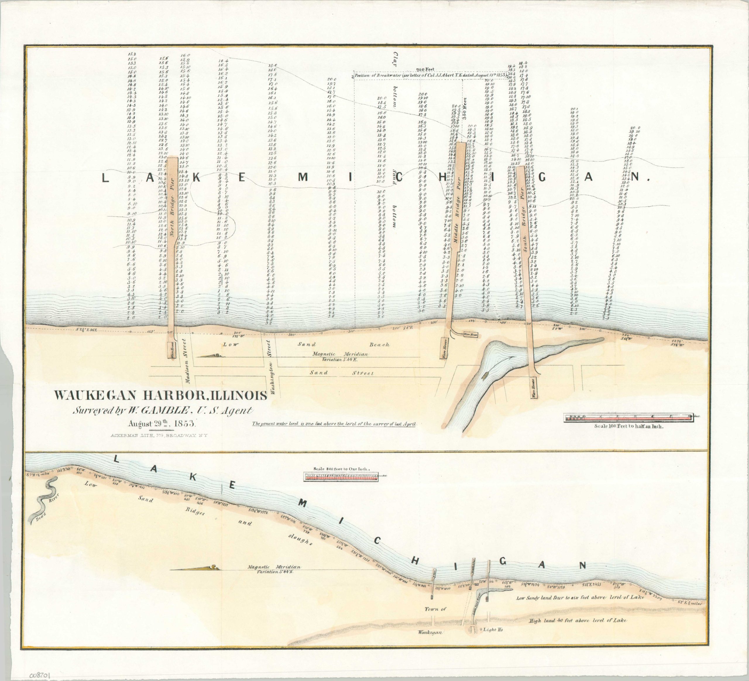
Waukegan Harbor, developed by the U.S. Corps of Topographical Engineers in the early 1850s, transformed a shallow glacial slough into a vital regional gateway for maritime commerce. Initially serving as a primary transshipment hub for agricultural goods from the Illinois interior, Waukegan (formerly ‘Little Fort’) emerged as a direct commercial rival to Chicago during the mid-19th century.
This uncommon two-part map, oriented with East at the top, documents the harbor’s infrastructure just years after its opening. The upper large-scale survey highlights three substantial piers extending into Lake Michigan, each terminating at a warehouse on the appropriately named Sand Street. Below, a smaller-scale coastal map illustrates the area’s distinct topography: a low, sandy basin separated from the town and lighthouse by a prominent 35-foot bluff.
Surveyed by civilian agent W. Gamble, who would later serve as a Brigadier General during the Civil War, the map was produced for a Congressional report on federal infrastructure expenditures.
Map Details
Publication Date: 1853
Author: W. Gamble
Sheet Width (in): 17.00
Sheet Height (in): 15.60
Condition: A
Condition Description: Lithographed map with modern hand color and an irregular left margin, where previously bound. A bit of faint creasing along old folds and light edge wear, but overall in very good to near fine condition.
$100.00
1 in stock