Watershed Map of Illinois
$125.00
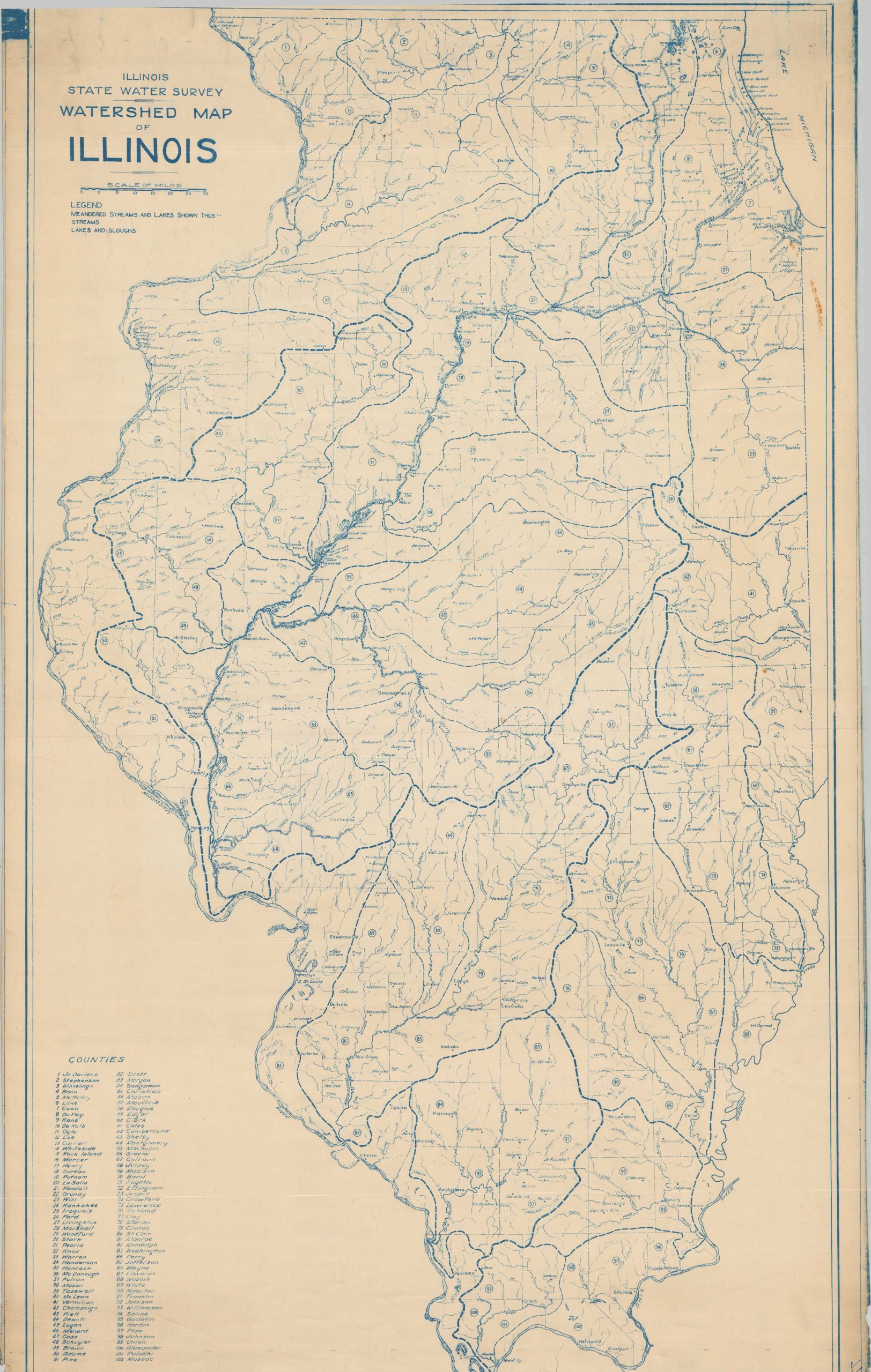
The waterways of Illinois.
1 in stock
Description
This interesting watershed map of Illinois was originally compiled by the state’s Water Survey, though this example is likely a somewhat later issue, probably printed in the 1940s or 1950s. It was acquired as part of a large archive of railroad engineering material, hinting at its possible use as a reference sheet for railroad operations.
Appropriately, many rivers and creeks are named on the map. Major watersheds (Greak Lakes basin, Ohio River Basin, Mississippi River Basin, etc.) are outlined with thick dotted lines, with small river watersheds bordered with thinner lines. Each of the state’s 102 counties is numbered and labeled in the lower left. Dozens of towns are pinpointed and labeled throughout the image.
Map Details
Publication Date: c. 1950?
Author: Illinois Water Survey
Sheet Width (in): 30
Sheet Height (in): 51
Condition: B+
Condition Description: 20th century photo-mechanical reproduction (blueprint) of a somewhat earlier map, acquired from a large archive of railroad material. Moderately worn along the edges of the sheet and some staining in the upper corners, away from the image. Manuscript annotations on the verso show through faintly on the image. About good condition overall.
$125.00
1 in stock