
Washington (T-9)
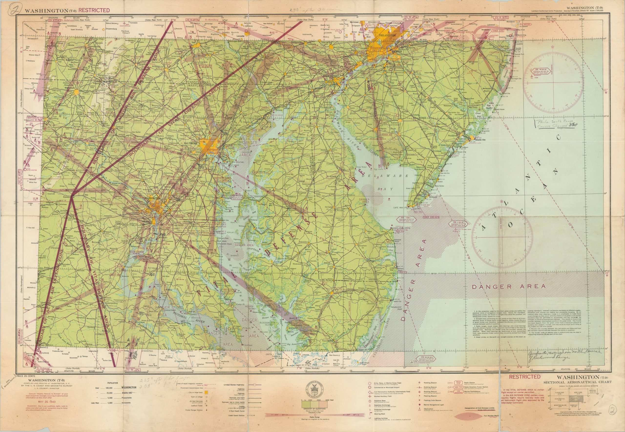
Large WWII-era aviation chart of the area around the U.S. capital, issued at a scale of 1:500,000.
Out of stock
Description
This detailed aviation chart, the first edition, was published by the U.S. Coast and Geodetic Survey for use by Army Air Forces in 1943. The image, marked RESTRICTED, presents the region around Washington, D.C. during the summer of that year. Elevation data, major landmarks, navigation beacons, airspace control areas, radio frequencies, and other relevant information are presented for use by pilots operating in the region.
However, a warning in the lower left warns the audience that these features may change without notice! Several zones are marked Danger Areas, possibly because of the threat of enemy vessels, while the Vital Defense Area (most of the map) prohibited all civilian aircraft. A previous owner has made several updates in pencil, indicating possible use during the war.
Map Details
Publication Date: 1943
Author: Army Map Service
Sheet Width (in): 34.5
Sheet Height (in): 24
Condition: B-
Condition Description: Color printed chart with heavy wear, toning, and several spots of separation (repaired on verso) along old folds. Discoloration along the upper and lower edges of the sheet (see scan), through the image remains legible and intact. Old manuscript annotations indicate prior use. Between fair and good condition. Blank on verso.
Out of stock