
Visitor’s Guide Map of Charleston
$135.00
“The Capital of the Coastal Empire of South Carolina.”
1 in stock

Description
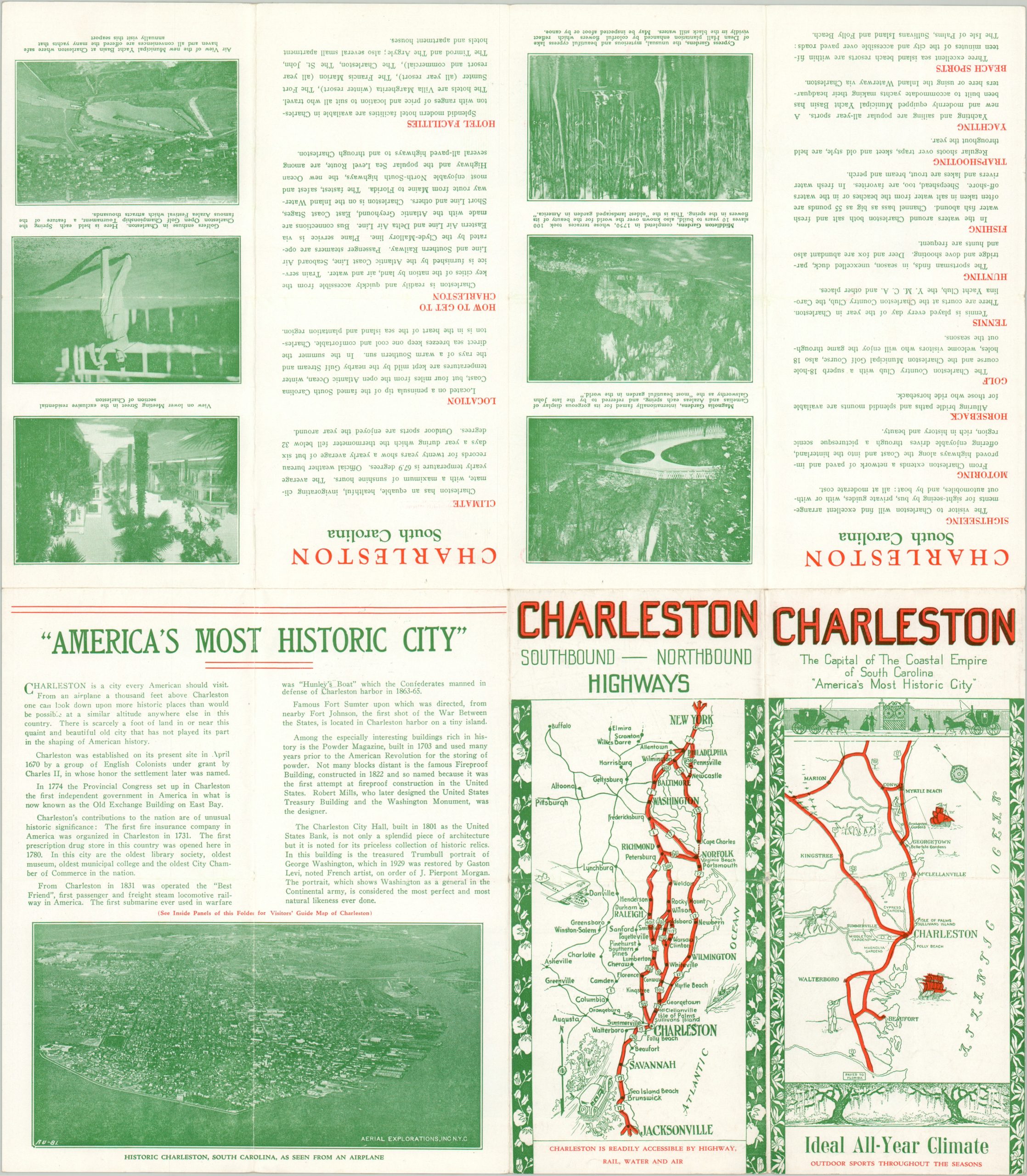
This charming promotional brochure of Charleston, South Carolina was originally copywritten by J.H. Garety and published in the early 1930s. A stylized view of the historic city, situated between the Ashley and Cooper Rivers, identifies 85 locations of interest within. Further nearby attractions, not included within the image, include Ft. Sumter, Cypress Gardens, and the Runnymede Plantation. The verso presents an aerial view of downtown Charleston, maps of the primary regional highways, and several photographs of modern amenities and recreational opportunities.
The map is scarce and listed only once in WorldCat, at the University of Kentucky. OCLC# 35057204.
Map Details
Publication Date: c. 1932
Author: J.H. Garety
Sheet Width (in): 15.75
Sheet Height (in): 18
Condition: A-
Condition Description: Folding map, as issued, with moderate wear and a few spots of clean separation along fold lines. Good to very good condition overall.
$135.00
1 in stock