
Virgin Islands
$160.00
A colorful cartographic bill of fare from the T.S.S. Fairwind.
1 in stock

Description
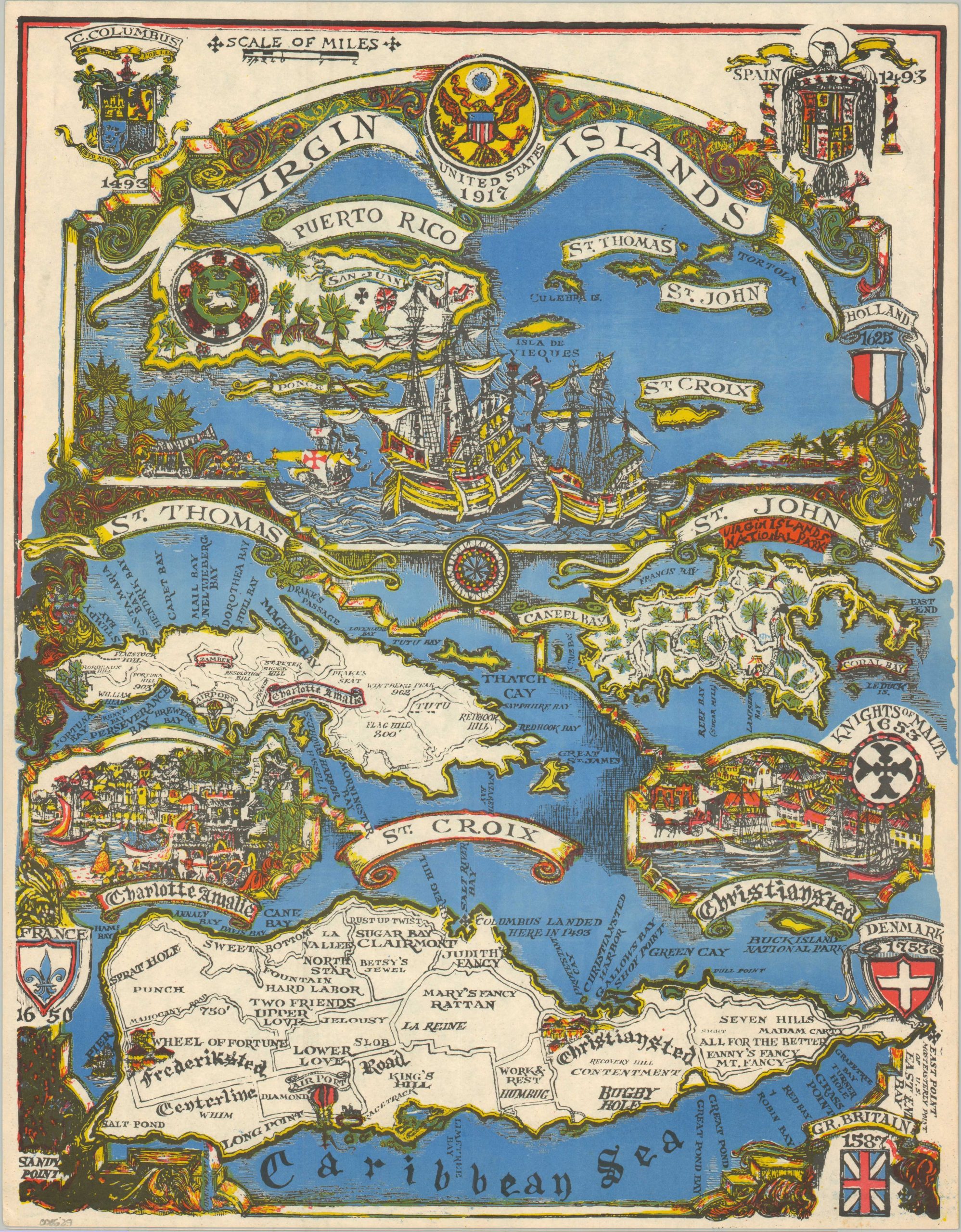
This vibrant pictorial souvenir of the U.S. Virgin Islands was distributed to passengers aboard the T.S.S. Fairwind, a cruise ship operated by Sitmar Cruises from 1971 to 1988. A colorful image incorporates symbolism and design elements that reflect the rich history of the Caribbean archipelago.
The upper half outlines their location adjacent to Puerto Rico, while the bottom provides more detailed overviews of St. Thomas, St. John, and St. Croix. Locations of interest include the Virgin Islands National Park, Charlotte Amalie, and Christiansted – the last two are pictured in the lower corners. The verso of the sheet presents the numerous courses for an onboard feast, including pepper pot soup, jellied consomme, Top But Leg of Beef ‘Buccaneer’, and Grand Gateau Pirate.
Map Details
Publication Date: c. 1980
Author: Sitmar Cruises
Sheet Width (in): 12.75
Sheet Height (in): 16.40
Condition: A
Condition Description: Color printed map on a strong sheet, with menu printed on verso. A bit of faint soiling and lightly creased corners, but overall in near fine condition.
$160.00
1 in stock