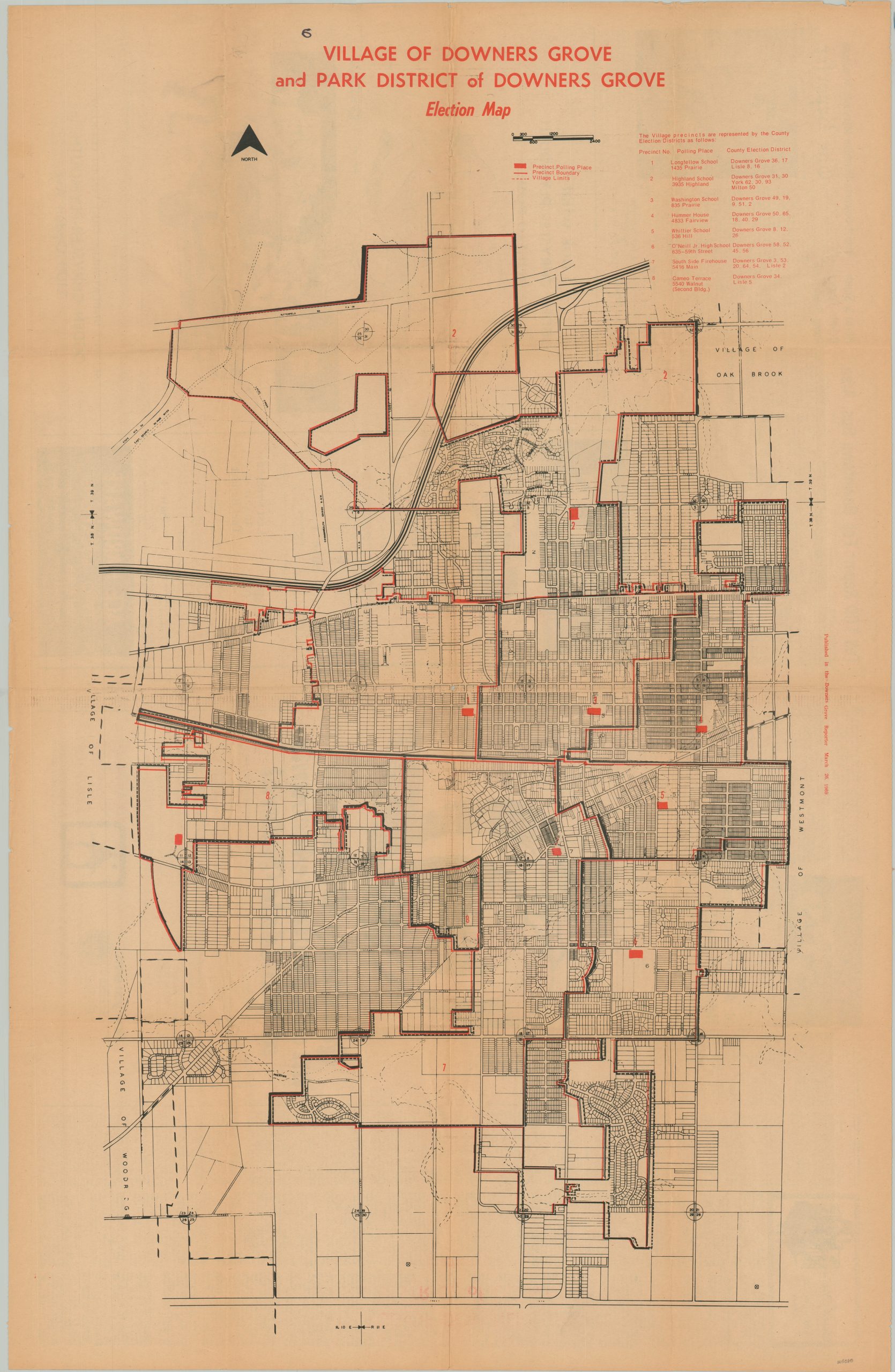
Village of Downer’s Grove and Park District of Downer’s Grove Election Map
$70.00
1969 Election Map for Downer’s Grove, Illinois.
1 in stock
Description
This ephemeral map of Downer’s Grove, Illinois was published on March 26, 1969 by the Downer’s Grove Reporter. It was distributed as a geographical reference to the upcoming election; identifying polling places, precinct boundaries, and village limits in red. The eight available polling places (population ~28,000 in 1970) are also listed in the upper right.
Map Details
Publication Date: 1969
Author: Downer's Grove Reporter
Sheet Width (in): 22.75
Sheet Height (in): 34.75
Condition: A-
Condition Description: Large single sheet of newspaper that is toned along old fold lines. Some smudging in the upper left, but otherwise in very good to near fine condition.
$70.00
1 in stock

