
View of Antwerp
$80.00
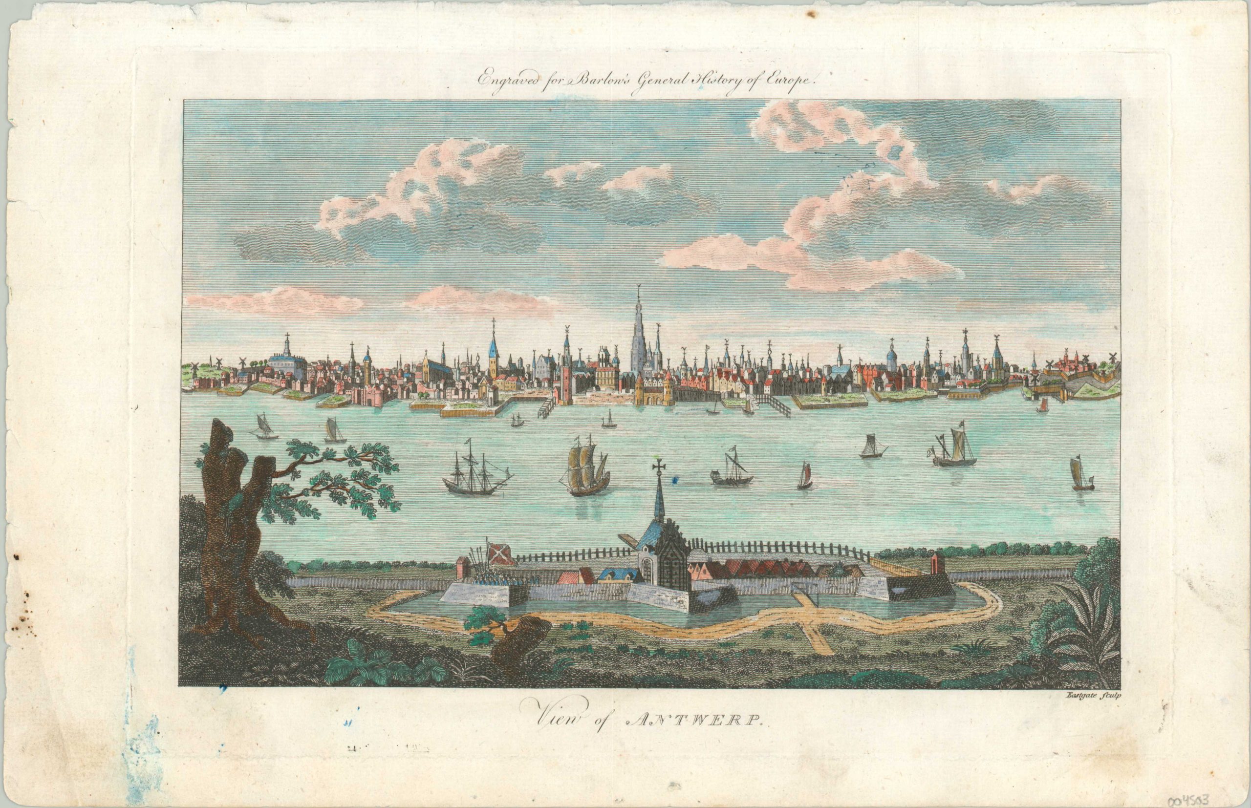
Beautiful view of Antwerp from the opposite bank of the River Scheldt.
1 in stock
Description
This delicately engraved print was published around 1790 as part of Percival Barlow’s General History of Europe. It shows the Belgian port city of Antwerp sitting tranquilly along the shore of the River Scheldt. Sailing ships of all descriptions can be seen plying the waters, while the city’s detailed skyline dominates the background. Rising above all is the iconic tower of the Cathedral of Our Lady. Other church steeples, towers, palaces, and windmills are also depicted.
The massive fortifications of the Antwerp Citadel are clearly visible on the right side, while the foreground is occupied by another walled redoubt. As a vital port and harbor, the city had been fortified since the 9th century AD and defensive structures were continually constructed and demolished until the outbreak of the First World War.
Map Details
Publication Date: c. 1790
Author: Percival Barlow
Sheet Width (in): 14.75
Sheet Height (in): 19.7
Condition: B+
Condition Description: Scattered spotting and soiling visible in the margins, including a large blue ink stain in the lower left corner. Printed on somewhat thin paper that's lightly wavy. Good to very good overall, with lovely modern hand color.
$80.00
1 in stock