
Vermont
Nice example of Colton’s folding pocket map of Vermont.
Out of stock
Description
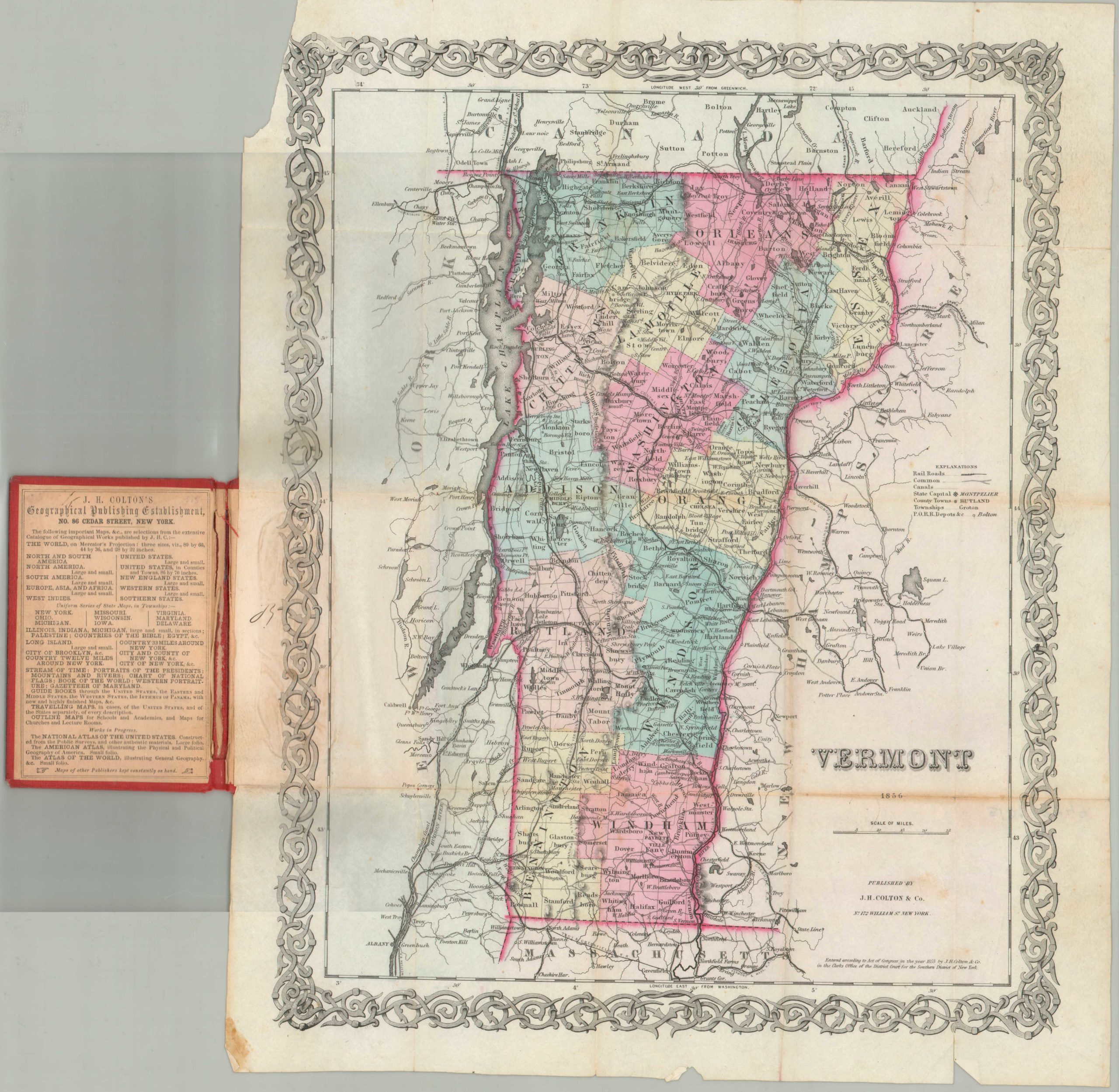
This is the second edition of Colton’s pocket map of Vermont, the first having been issued the year previously in 1855. The map shows tremendous detail; colored by counties and showing towns, counties, townships, post offices, depots, rivers, railroads, and substantial additional information of particular importance to a mid-century traveler in the state.
The map covers the entire state as well as adjacent parts of New Hampshire, New York, Massachusetts and Canada. Like most of Colton’s state maps, this map was derived from an earlier wall map of North America produced by Colton and D. Griffing Johnson. It is very uncommon to find a mid-19th century exclusively depicting Vermont, as most maps of the period bundled it with New Hampshire. This map shares many characteristics with the single sheet image of Vermont Colton included with his Atlas of the World, but the pocket map version is significantly more scarce.
Map Details
Publication Date: 1856
Author: J.H. Colton
Sheet Width (in): 13.50
Sheet Height (in): 17.00
Condition: B-
Condition Description: Several significant chips and tears in the outer margins, and one 3" separation along fold lines on the right side of the sheet. A few other small spots of separation at fold intersections. The decorative red gilt covers are present and intact.
Out of stock