
Valley of the Connecticut
$75.00
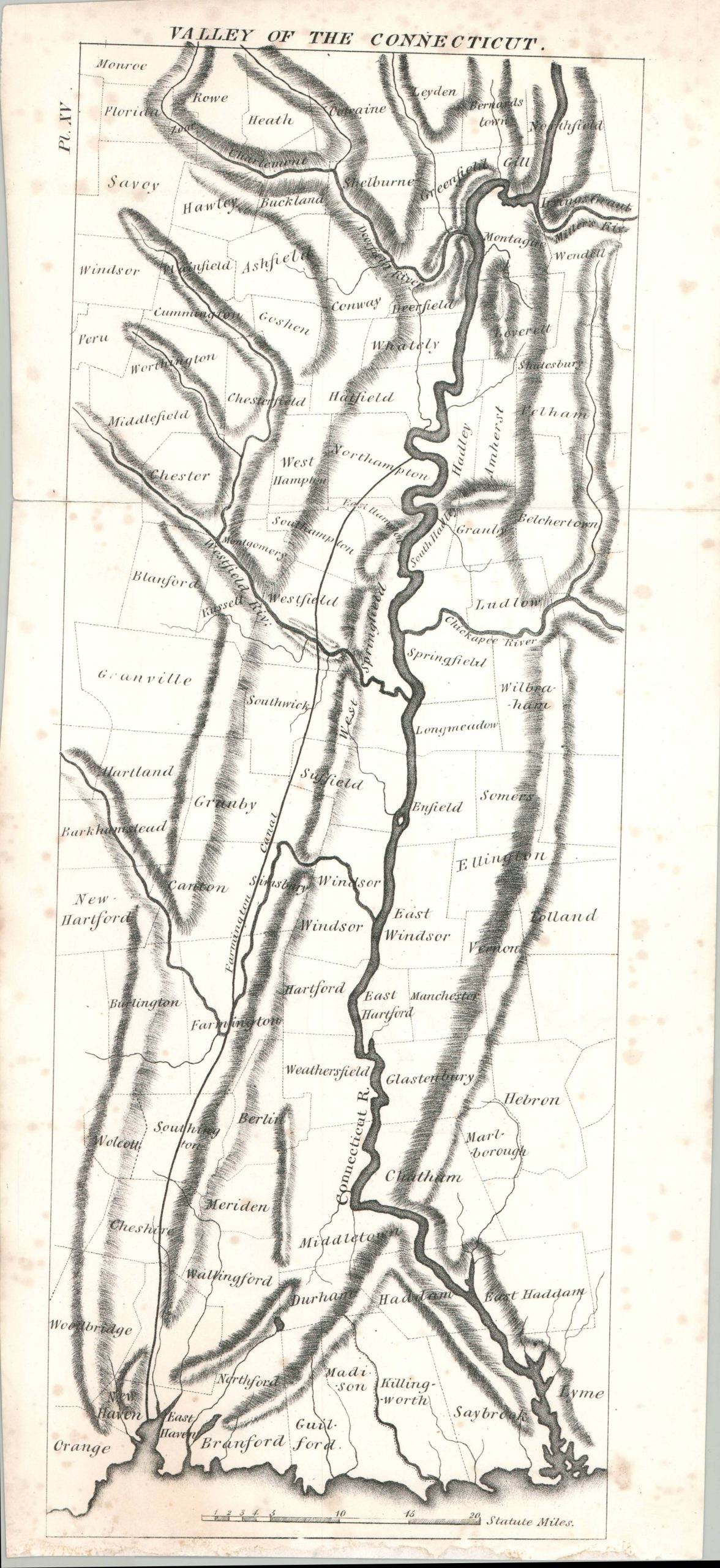
An unusual map of the Connecticut River Valley from the 19th century.
1 in stock
Description
This anonymous map outlines the properties of numerous early landowners along the Connecticut River Valley. Topography is depicted in rudimentary hachure and a handful of geographic features are named. The area’s high volume of water was crucial to industrial development during the 19th century.
Map Details
Publication Date: c. 1850?
Author: Anonymous
Sheet Width (in): 8
Sheet Height (in): 18
Condition: B
Condition Description: Moderate wear along 3 vertical folds, including about 4" of clean splits that have been repaired on the verso with archival tape. Moderate spotting along the edges of the sheet (blank on verso) and some adhesive residue in the lower margin. About good condition overall.
$75.00
1 in stock