V.B. Landstrassen-Atlas von Deutschland [Road Atlas of Germany]
$145.00
Nazi-sponsored road atlas of Germany.
1 in stock
Description
This comprehensive road atlas of Germany was lithographed and printed in Munich in 1935 by Edward Gaebler’s Geographic Institute. Publication was sponsored by the Central Publishing House of the N.S.D.A.P., reflecting the Nazi’s efforts to infect every aspect of German life, including recreation and tourism.
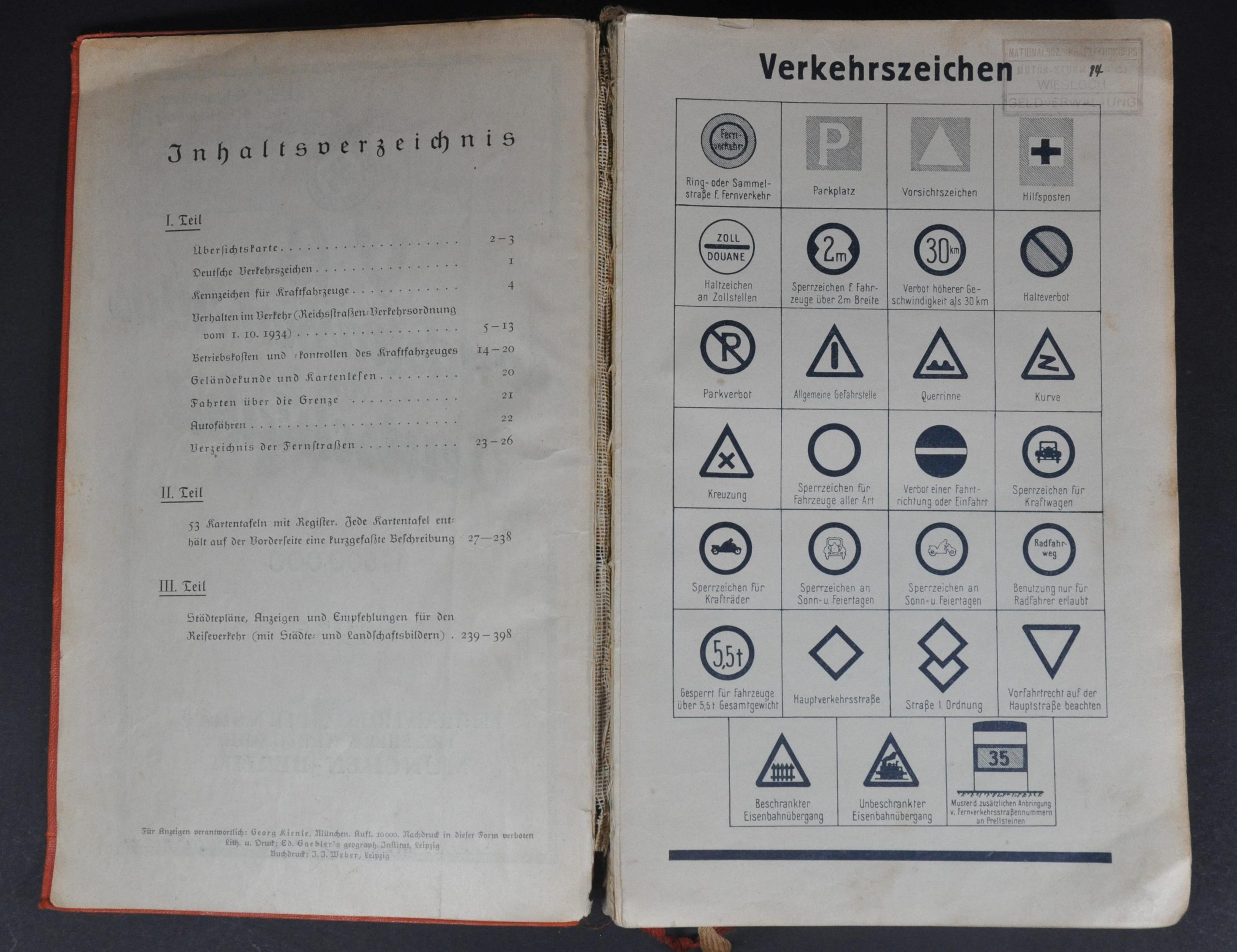
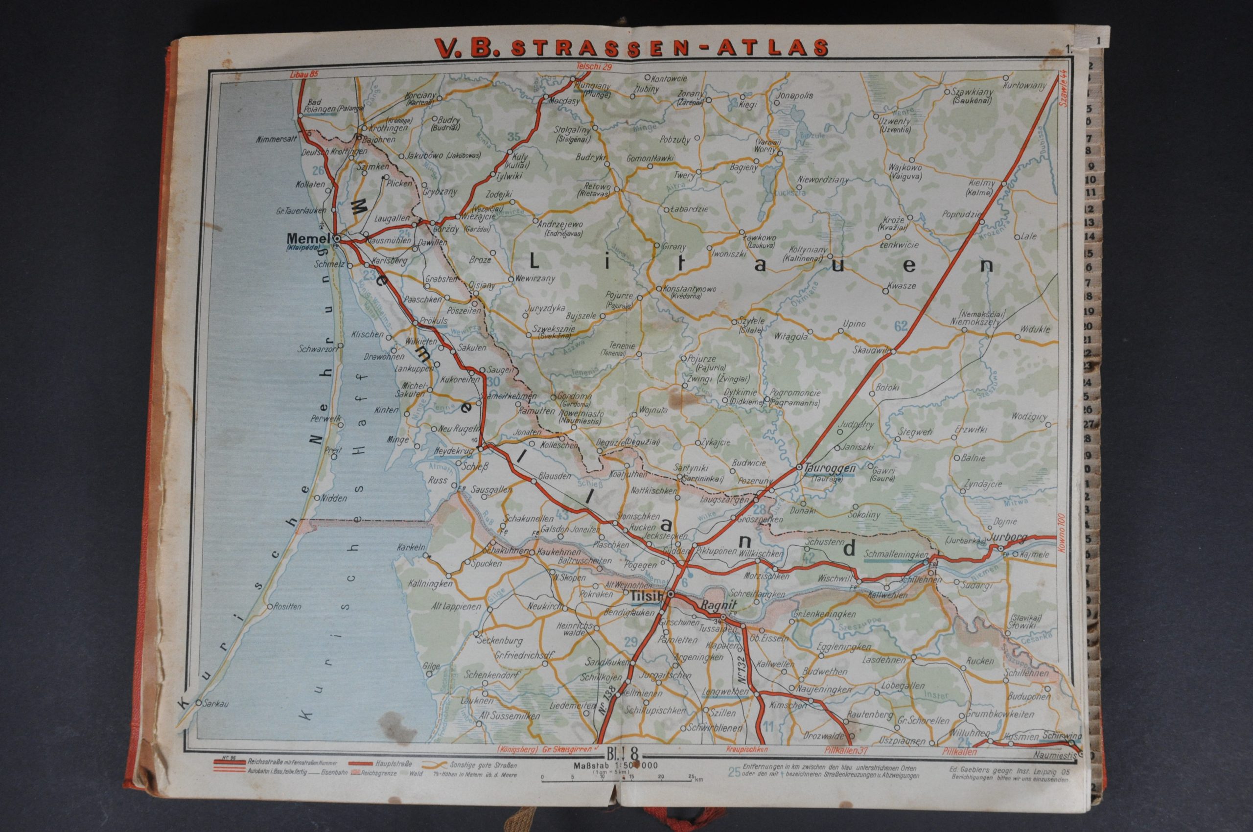
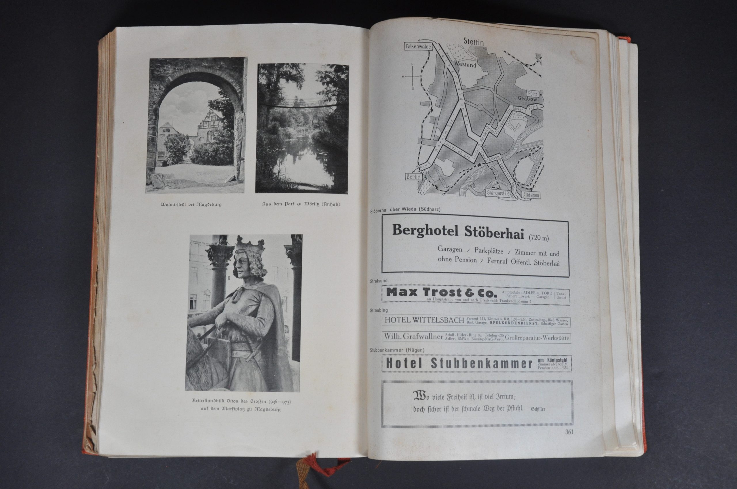
An overview of basic traffic laws and regulations is followed by 53 double-page maps + an index that covers the entire country. Each image presents roads of varying conditions, with distances between points and different locations of interest noted. Accompanying text and photographs describe many of the primary urban centers, while several contemporary advertisements are scattered throughout the volume
Map Details
Publication Date: 1935
Author: Edward Gaebler's Geographic Institute
Sheet Width (in): 10.25
Sheet Height (in): 6.5
Condition: B
Condition Description: 400 pp. road atlas with a broken spine and original orange covers. Heavily worn, with the last six pages separate from the binding and others beginning to come loose. Moderately toned and scattered spotting throughout. Between fair and good condition overall.
$145.00
1 in stock


