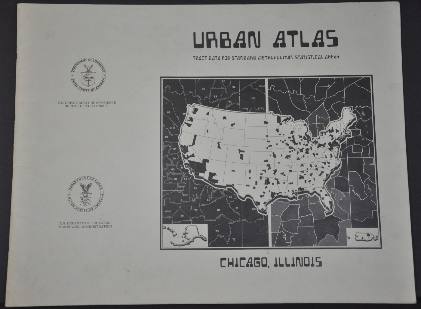
Urban Atlas Chicago, Illinois
Measuring the north and south sides of Chicago in the mid-1970’s.
Out of stock


Description
Using measurements taken from the 1970 census, this atlas of Chicago, Illinois provides a visual reference guide to various demographics of the Windy City. Over 260 various metropolitan areas around the United States were covered by similar publications, issued jointly by the United States Departments of Commerce and Labor, with input from the Census Department and UC Berkeley.
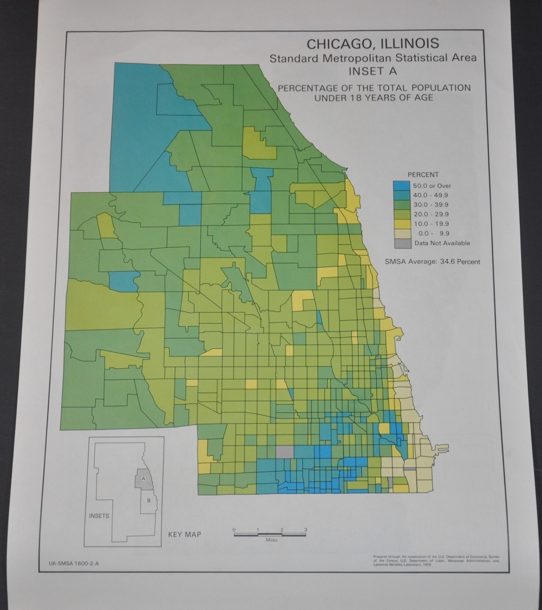
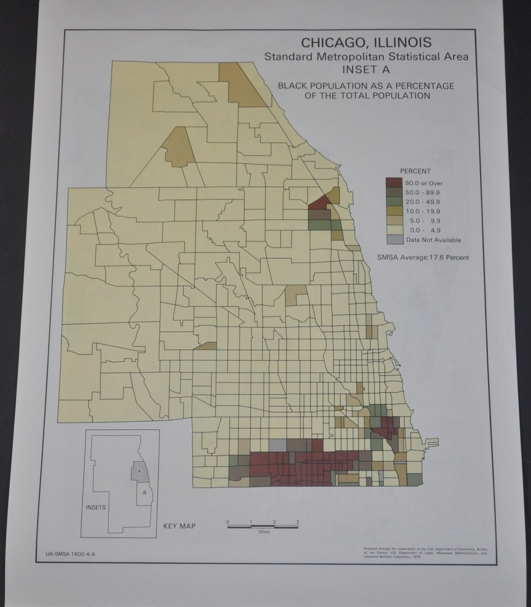
Each atlas contains numerous maps showing population statistics like age, race, income, education, homeownership, and occupation. With each category, Chicago is split between north and south along Roosevelt Road, providing a dramatic visual contrast between the two historically dichotomous areas. Though today significant improvements can be seen in many areas, there remains a sharp regional divide in many of the categories listed above.
Map Details
Publication Date: 1975
Author: U.S. Departments of Labor and Commerce
Sheet Width (in): 21.75
Sheet Height (in): 16.9
Condition: A
Condition Description: 22 pp. atlas with stapled binding and green paper covers. Wrappers are soiled and slightly worn, but remain in good condition. Contents are very good, with slight scattered soiling, creased corners, and other wear consistent with prior use. Includes 36 full page color maps of Chicago, plus three maps of the city-wide census tracts.
Out of stock