
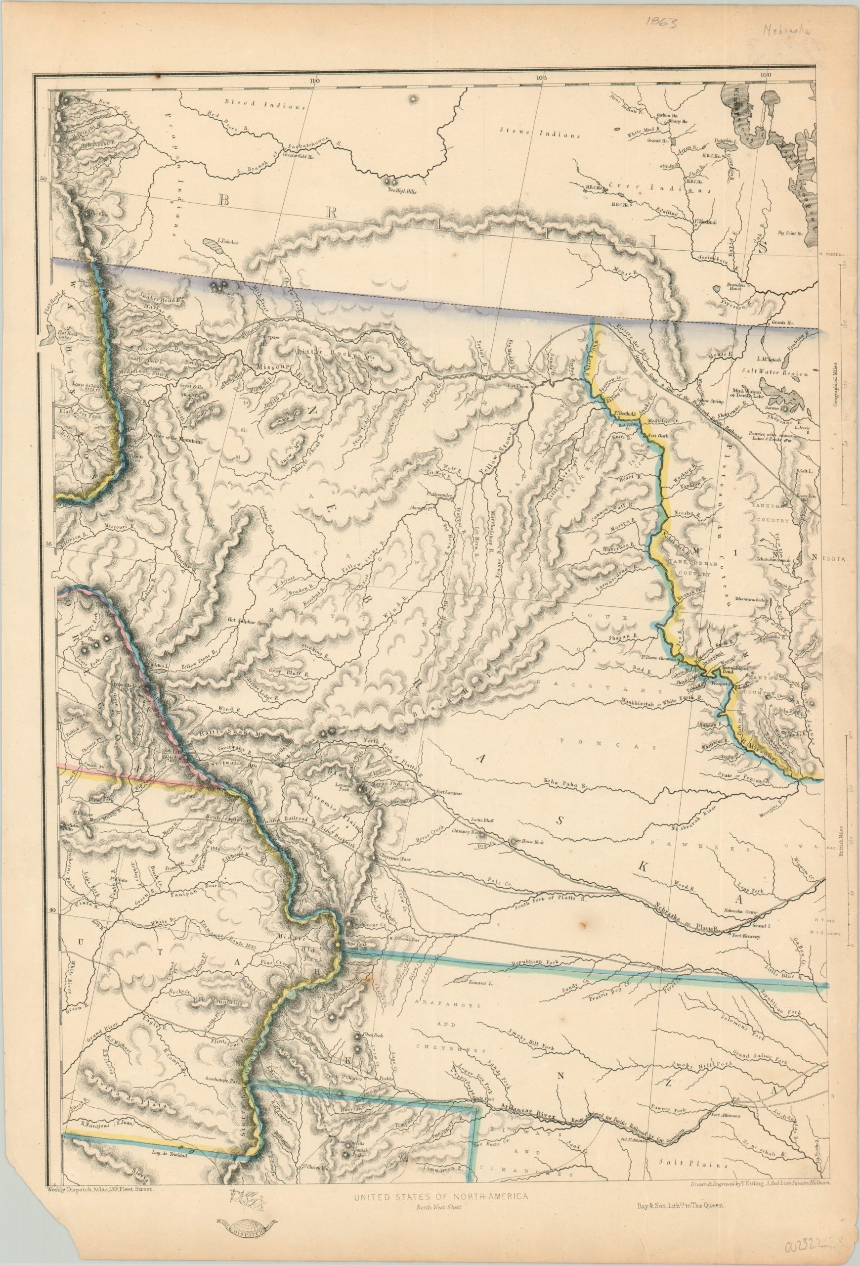
United States of North America North West Sheet
$200.00
One part of a six sheet map of the United States published in London during the Civil War.
1 in stock
Description
This finely engraved map of the northwestern United States is primarily focused on a massive Nebraska territory, but includes portions of Utah, Kanzas, Washington and Minnesota territories as well. Fascinating contemporary icons of the American West are included within the image; Fremont’s journey, the Oregon Trail, frontier fortifications, several proposed transcontinental rail routes, and natural landmarks such as Independence Rock. Topography is depicted in hachure and a number of Native American tribes are labeled throughout.
The map was drawn and engraved by Thomas Ettling and published in London as one of the six sheets covering the United States for the Weekly Dispatch Atlas. The maps were originally distributed individually to newspaper subscribers and ultimately compiled into a free-standing atlas in 1863.
Map Details
Publication Date: 1863
Author: Thomas Ettling
Sheet Width (in): 12.90
Sheet Height (in): 18.90
Condition: B
Condition Description: Moderate soiling and wear in the margins, including the loss of the lower left corner and several small tears that have been repaired on the verso. A few scattered spots within the image, notably south of the Platte River and in the upper neatline. Good condition overall.
$200.00
1 in stock