
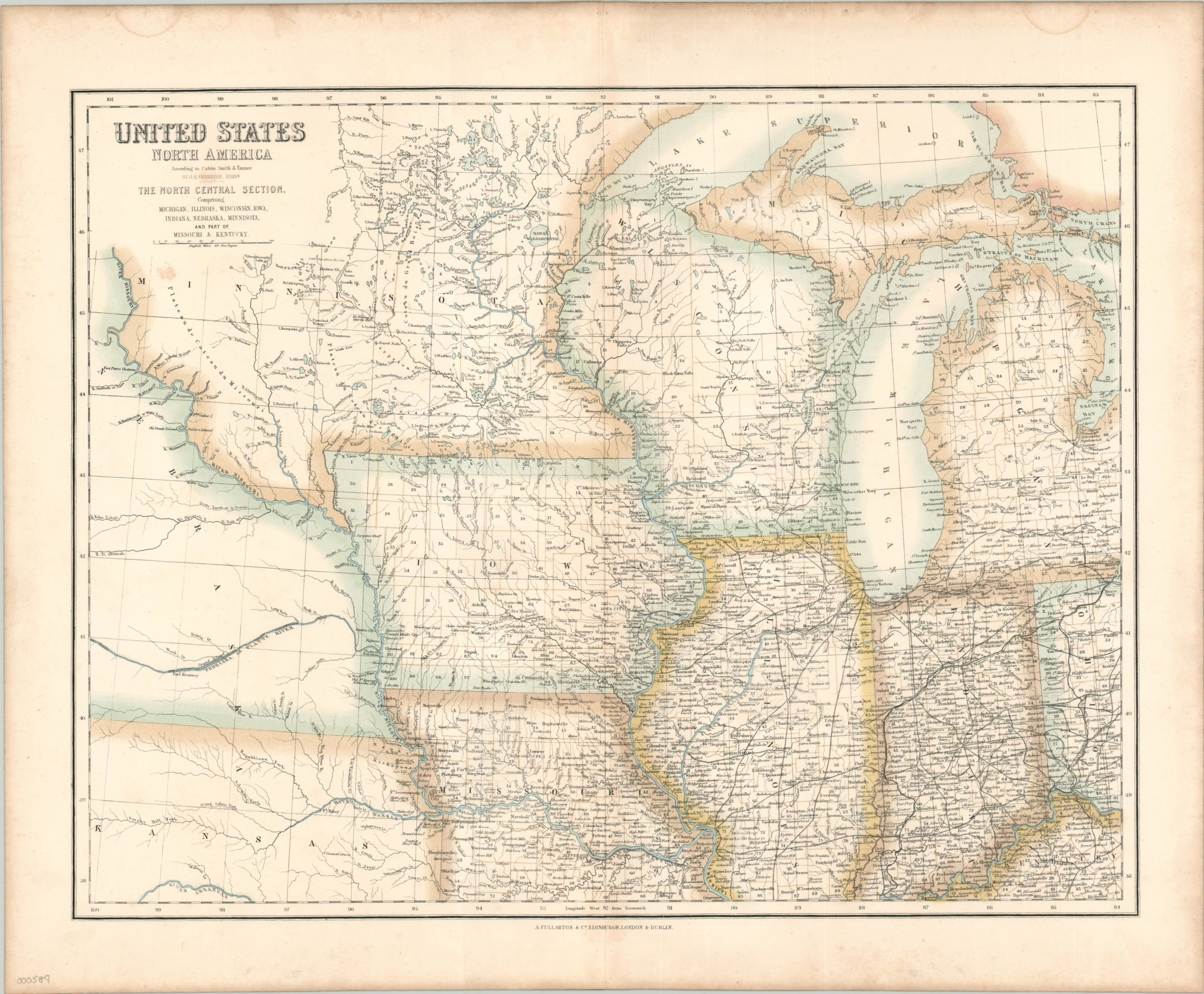
United States North America: The North Central Section
Atlas map of the American Midwest when it represented the frontier of the United States.
Out of stock
Description
This detailed lithographed map covers the area from western Ohio to Ft. Kearney in the Nebraska Territory, and from Minnesota to Kentucky. It shows an immense amount of information; including surveyed county lines, transportation routes, cities and towns of all sizes, water features and topographical anomalies. The further west one travels, the more sparse the information becomes, and Native American villages are conspicuously absent from the image.
This map was engraved by G.H. Swanston and published in Edinburgh by A. Fullarton & Company. A mapmaker in the United Kingdom would have undoubtedly relied on American sources for the latest information, and Fullarton graciously credits Calvin Smith and Henry Tanner under the title. The map was published in The Royal Illustrated Atlas around 1864.
Map Details
Publication Date: c. 1864
Author: GH Swanston
Sheet Width (in): 22.10
Sheet Height (in): 18.60
Condition: A-
Condition Description: Moderate discoloration in the outer edges and some soiling below the title, otherwise excellent.
Out of stock