United States
$150.00
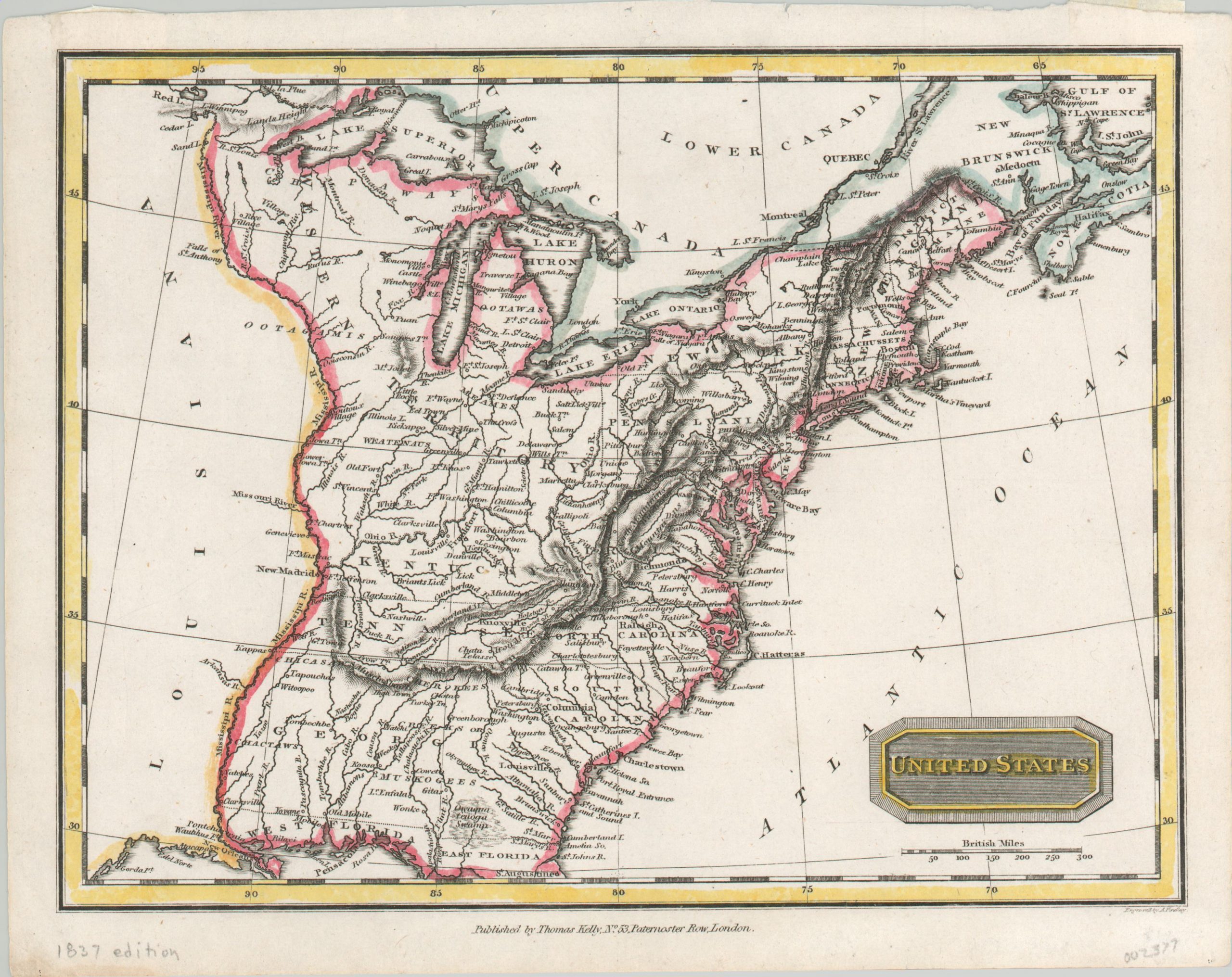
Interesting, if outdated, look at the United States in the first half of the 19th century.
1 in stock
Description
Despite being published in 1837, the contents of this map show the political situation in the United States about two decades earlier. Chicago is absent, Indiana and Illinois are still part of the Northwestern Territory, Florida is divided into East and West, and both Alabama and Mississippi remain part of Georgia.
Interior details are also dated, with obsolete forts and Native American tribes that had been long removed by the second half of the 1830’s. Since it was an English publication, perhaps access to the latest sources were limited, or there was little incentive to show up to date information.
Engraved by A. Findlay and published by Thomas Kelly in London.
Map Details
Publication Date: 1837
Author: Thomas Kelly
Sheet Width (in): 10.50
Sheet Height (in): 8.30
Condition: A
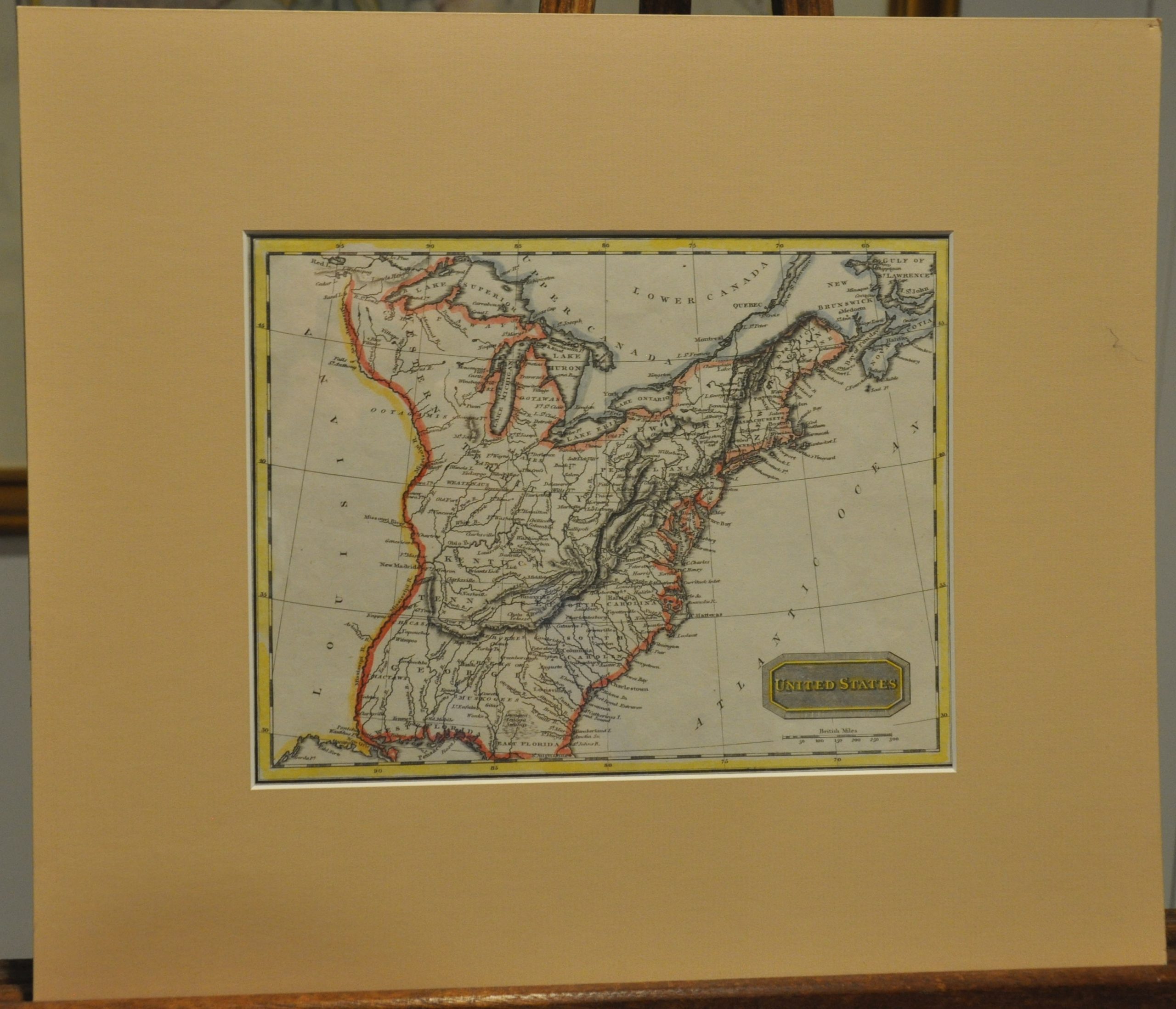
Condition Description: A bit of wear along the outer edges, but remains in near fine condition. Lovely hand color and includes a neutral toned matte for display.
$150.00
1 in stock


