United States
$300.00
The U.S. expanding west in the mid-19th century.
1 in stock
Description
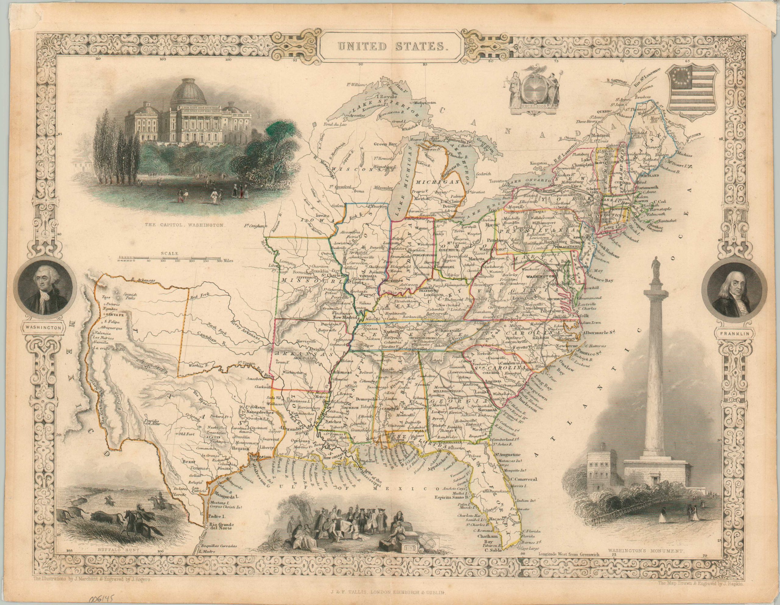
This attractive steel-engraved map of the United States provides a detailed overview of the rapidly expanding nation just a few years after its successful war against Mexico. Texas, one of the primary spoils from that conflict, is shown in an enlarged format between the Red, Arkansas, and Rio Grande Rivers. The new state of Wisconsin is shown, but the Minnesota Territory has yet to coalesce and much of its land is occupied by a vignette of the Capitol Building in Washington, then undergoing a significant expansion. Other illustrations include portraits of Franklin and Washington, a view of Washington’s Monument (including the statue that never materialized), a buffalo hunt, and a scene showing William Penn’s treaty with the Native Americans.
The illustrations were designed by J. Marchant and engraved by J. Rogers. The map was drawn and engraved by J. Rapkin and published around 1850 as part of John Tallis’ Illustrated Atlas.
Map Details
Publication Date: c. 1850
Author: John Tallis
Sheet Width (in): 13.75
Sheet Height (in): 10.7
Condition: B
Condition Description: Moderate soiling visible in the margins and along the vertical centerfold. Scattered spotting in the image, most evident on the left side of the sheet, around the image of the Capitol. Wear and old archival tape in the corners from where previously matted, including the upper right roughly reattached. About good condition overall, with original outline color.
$300.00
1 in stock

