United Pacific System Map of Rocky Mountain (Estes) National Park
$195.00
A topographic overview of Rocky Mountain National Park showing early automobile routes.
1 in stock
Description
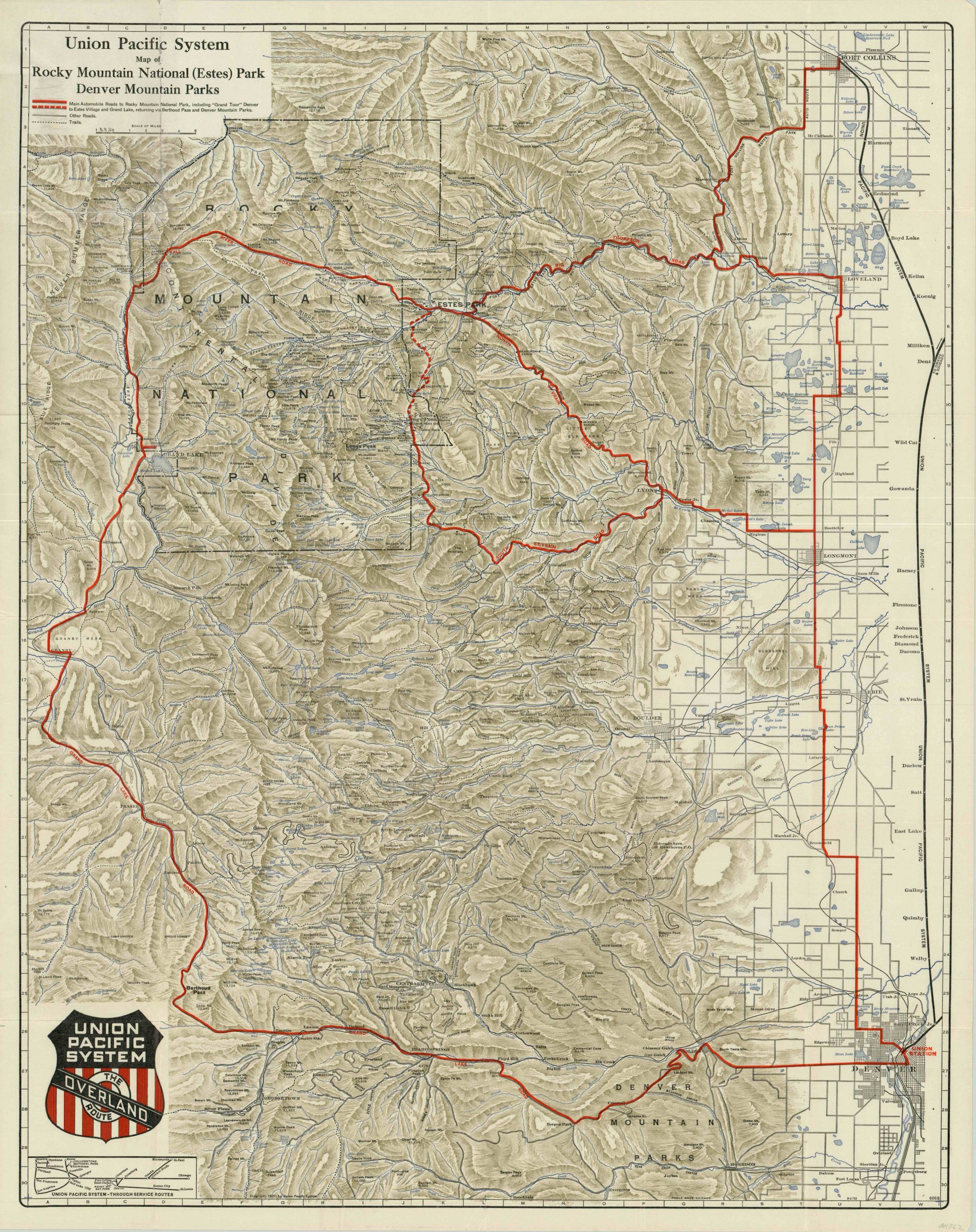
Serving nearby Denver and Fort Collins, Colorado, the Union Pacific Railroad System had a vested interest in drawing tourists (paying passengers) into the newly organized Rocky Mountain National Park, established in 1915. The map, first issued by the Union Pacific in 1921, shows the park and adjacent mountain cities connected by a network of thick red lines signifying the primary roads available throughout to motorists in the region.
Motor tourism was a major draw as the automobile gained ubiquity in the early decades of the 20th century, and individual routes were often maintained and advertised by local travel associations or trade organizations. Estes Park, Colorado is depicted as a jumping off point for a “Grand Tour” of the park composed of several such routes, such as Big Thompson Road and the Grand Lake Road.
The map presents topographic detail in an attractive pictorial fashion, with mountain peaks and their respective elevations shown. Despite the popularity today, no ski resorts can be found on the map, as the sport wouldn’t become widespread in the area until the 1940’s and 1950’s. A simplified inset map of the Union Pacific System can be found immediately below the huge company shield; connecting hubs in Chicago, St. Louis and the Twin Cities to its extensive network in the West.
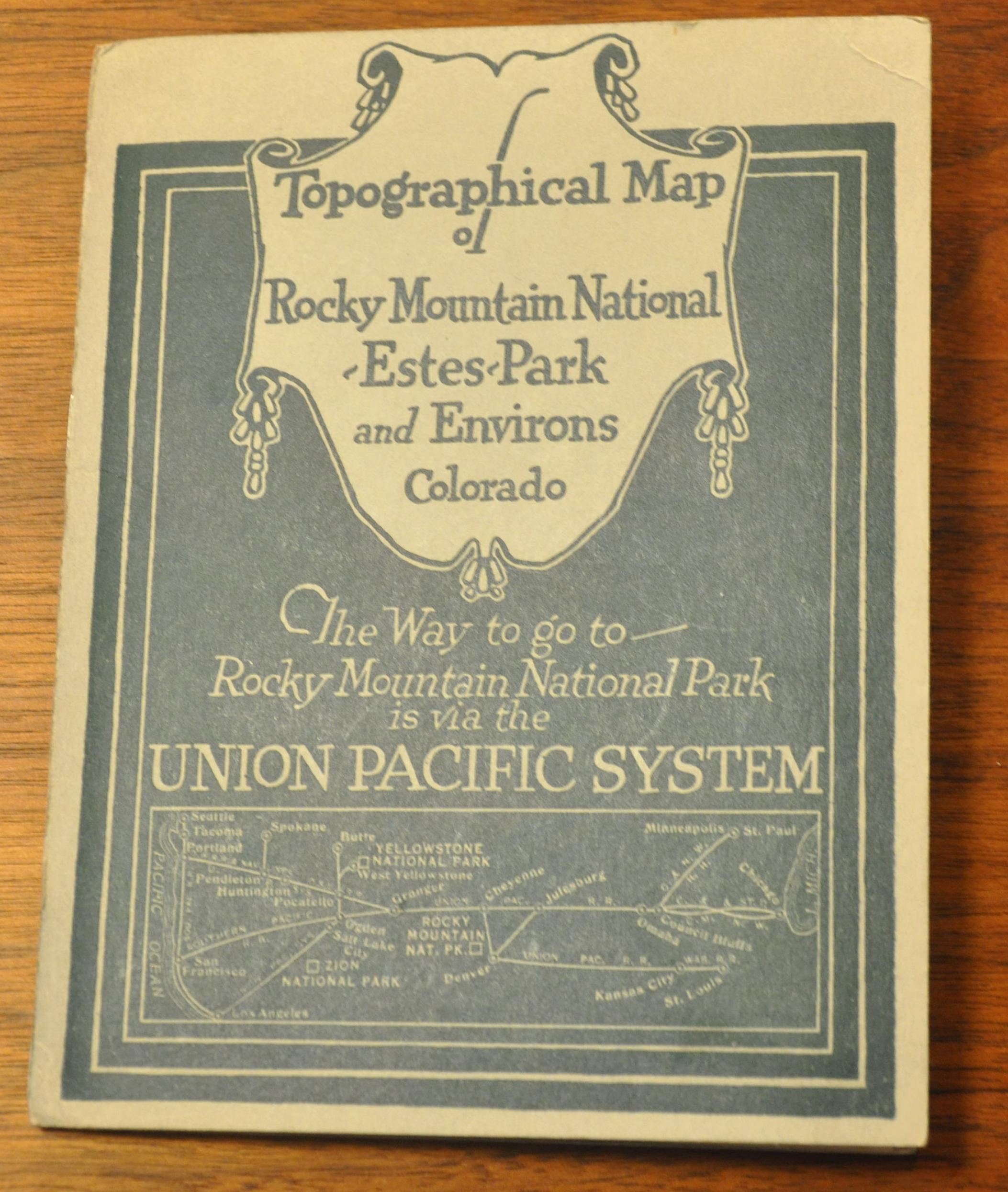
The map includes its original gray covers, to which are attached an eight page index to locations within the image and a schedule of motor tours for the 1923 season.
Map Details
Publication Date: 1923
Author: Union Pacific Railroad
Sheet Width (in): 25
Sheet Height (in): 31.75
Condition: B+
Condition Description: The map was originally issued folded in 36 panels into the back of the accompanying pamphlet. Minor creasing and wear along the originally issued fold lines, including one 2" horizontal seam of breakage near the center of the sheet, repaired with archival tape on the verso. Slight wear also visible adjacent to the title in the upper left panel. The accompanying book into which the map is bound is in near fine condition, with original grey paper covers and 8 pages of text.
$195.00
1 in stock


