
United Arab Republic A Pictorial Map of Egypt
$80.00
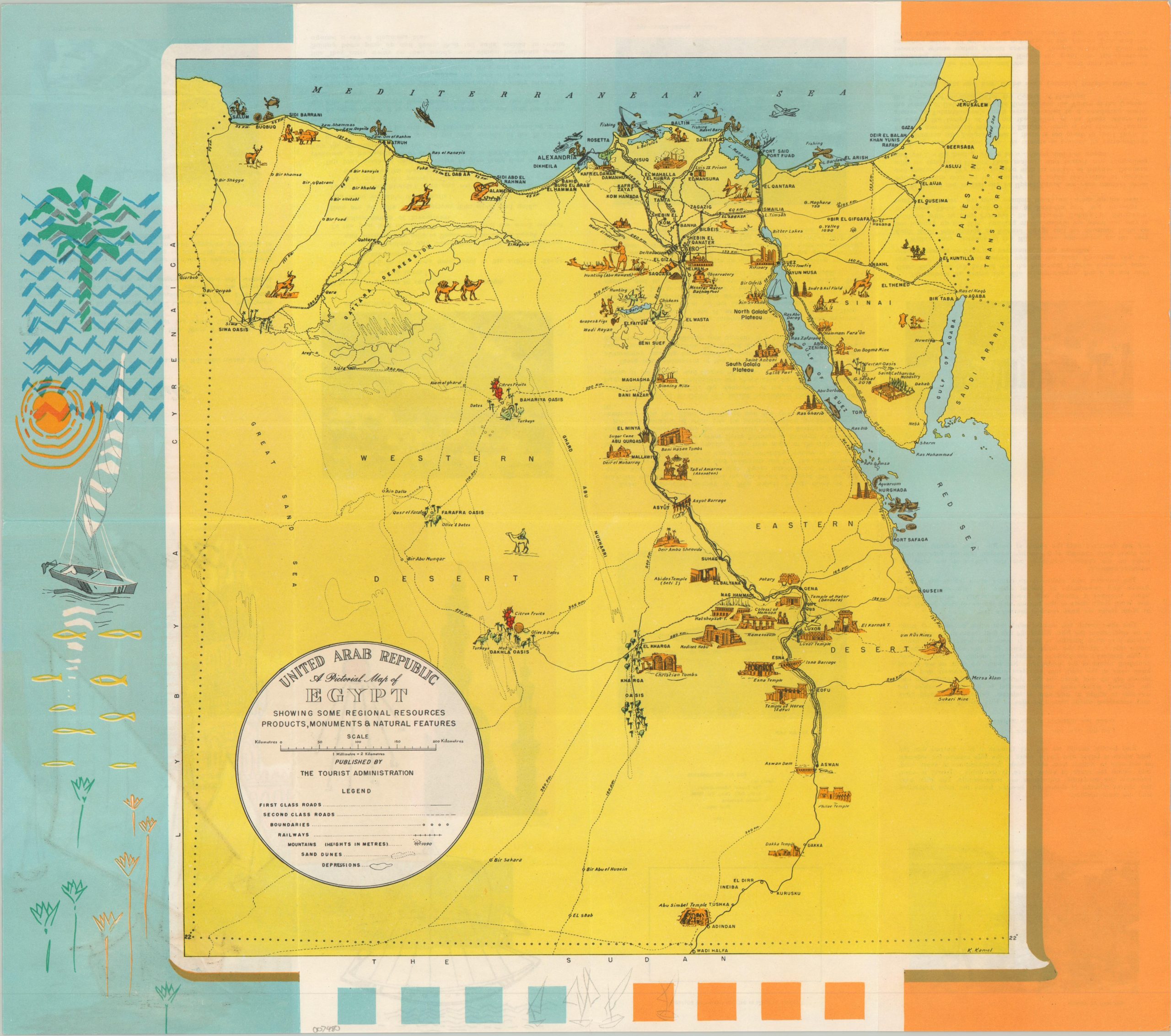
A lovely tourist map of Egypt and the Nile from the late 1950s.
1 in stock
Description
This charming pictorial map of Egypt was drawn by A. Kaniel (signed, lower right) and printed by the Institute Graphique Égyptien. It was published in 1959 by the Tourist Administration of the newly constituted United Arab Republic.
Because the image omits Syria, it’s possible it was an earlier image, updated after the plebiscite uniting the governments had passed. Prominent historic sites, natural resources, and landmarks are represented with small vignettes. Text and photographs on the verso describe a tour down the Nile.
Map Details
Publication Date: 1959
Author: K. Kaniel
Sheet Width (in): 17.75
Sheet Height (in): 15.75
Condition: A-
Condition Description: Double-sided brochure, softly creased along original folds and showing some see-thru from the printed ink on the verso. Faintly wrinkled throughout. Very good overall.
$80.00
1 in stock