Underground
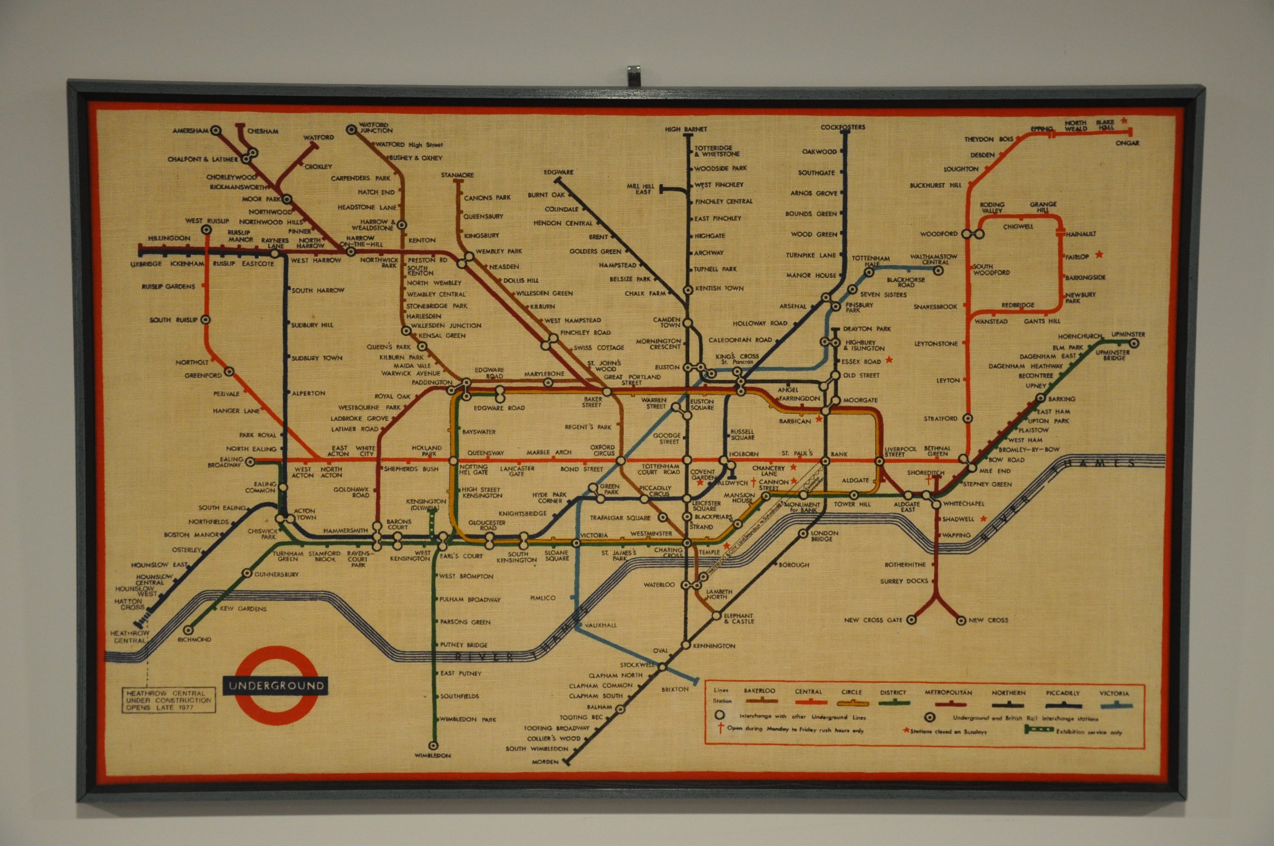
Professionally framed textile map of London’s Underground from the mid-1970’s.
Out of stock
Description
Harry Beck (1902 – 1974) completely redesigned the London Underground map from a haphazard system superimposed onto a street grid into a masterwork of topological cartography. Isolated locations and a densely packed city center were replaced by a clearly legible and relatively evenly spaced (if not geographically accurate) outline, defined by colored routes. The first full publication run was in 1933, and a form of the map has been in issue ever since.
It’s seen here in an interesting format – printed in color on linen and mounted in a custom wooden frame. The system dates to the mid-1970’s, based on the note regarding Heathrow Construction in the lower left. Stations are labeled individually and an accompanying legend identifies the eight lines in operation. Also of interest is the short line to Kensington (Olympia) Station, noted as ‘Exhibition service only.’
Map Details
Publication Date: c. 1975
Author: Harry Beck
Sheet Width (in): 28.60
Sheet Height (in):
Condition: A
Condition Description: Linen map with printed color, professionally framed in wood painted in two different shades of blue (no glass). Framer's stamp on verso is dated 1979. Near fine overall, with one small spot above the legend (lower right).
Out of stock


