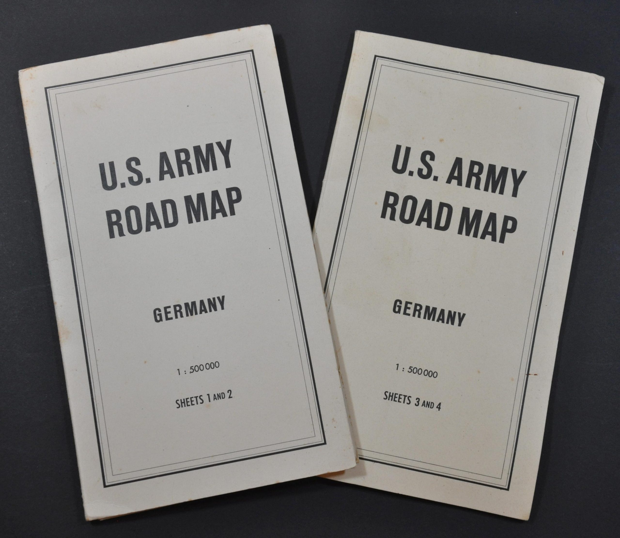
U.S. Army Road Map Germany
$225.00
Detailed road map(s) of a divided Germany.
1 in stock


Description
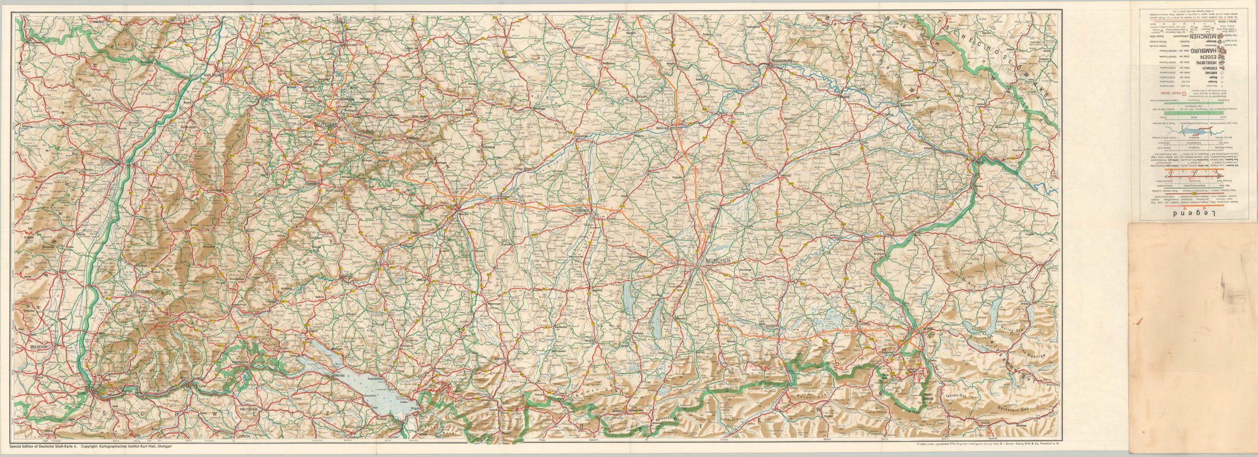
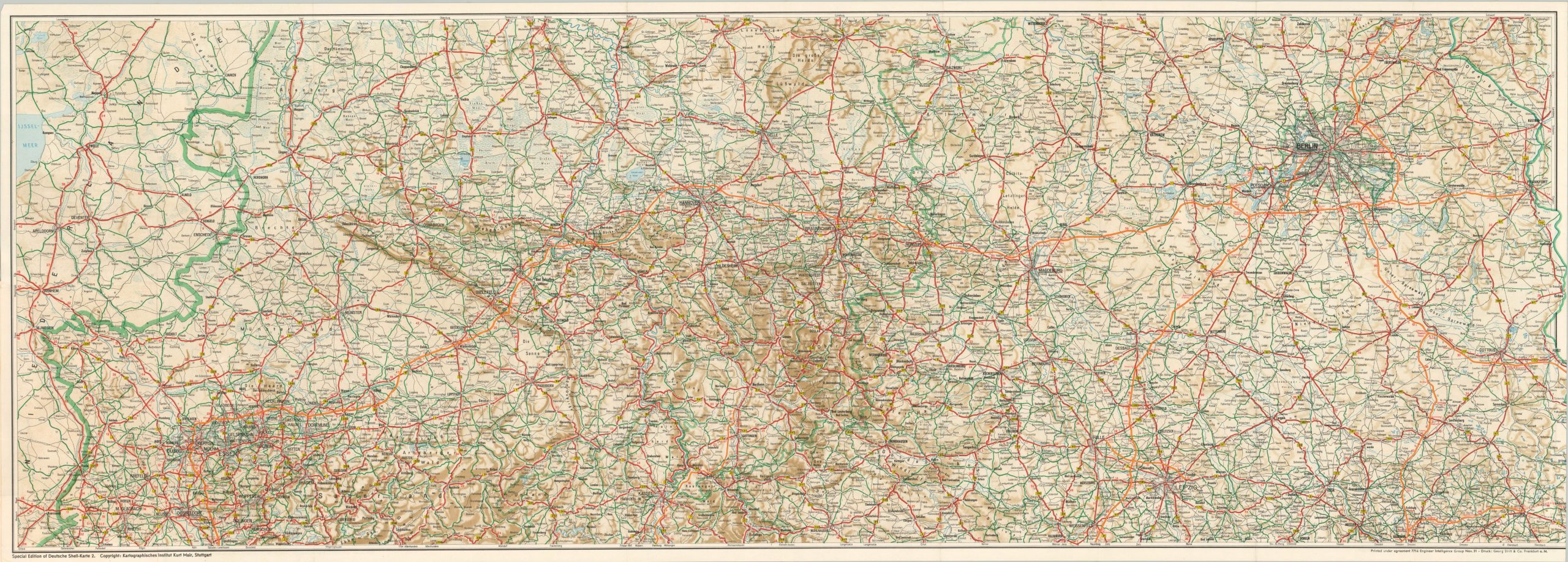
This pair of road maps are updated editions of versions created by the Kartographisches Institut Kurt Mair of Suttgart on behalf of Deutsche Shell. They were printed in Frankfurt Am Main in November of 1951 by George Stritt & Co. under agreement with the 7714 Engineer Intelligence Group of the United States Army.
The transportation network across all of West Germany and most of East Germany is spread across the 4 images (2 double-sided sheets). Distances between points are noted and geographic features are labeled throughout. Also of interest is the inclusion of the pre-war 1937 borders in bright green.
Map Details
Publication Date: 1951
Author: Kartographisches Institut Kurt Mair
Sheet Width (in): 49
Sheet Height (in): 17.5
Condition: A
Condition Description: Pair of double sided maps that fold into 20 segments and are affixed to original stiff paper wraps. Very faint wear from age and use, but in near fine condition overall.
$225.00
1 in stock