
Type Substitutions
$300.00
A rare U.S.G.S. style sheet from the early 1970s.
1 in stock
Description
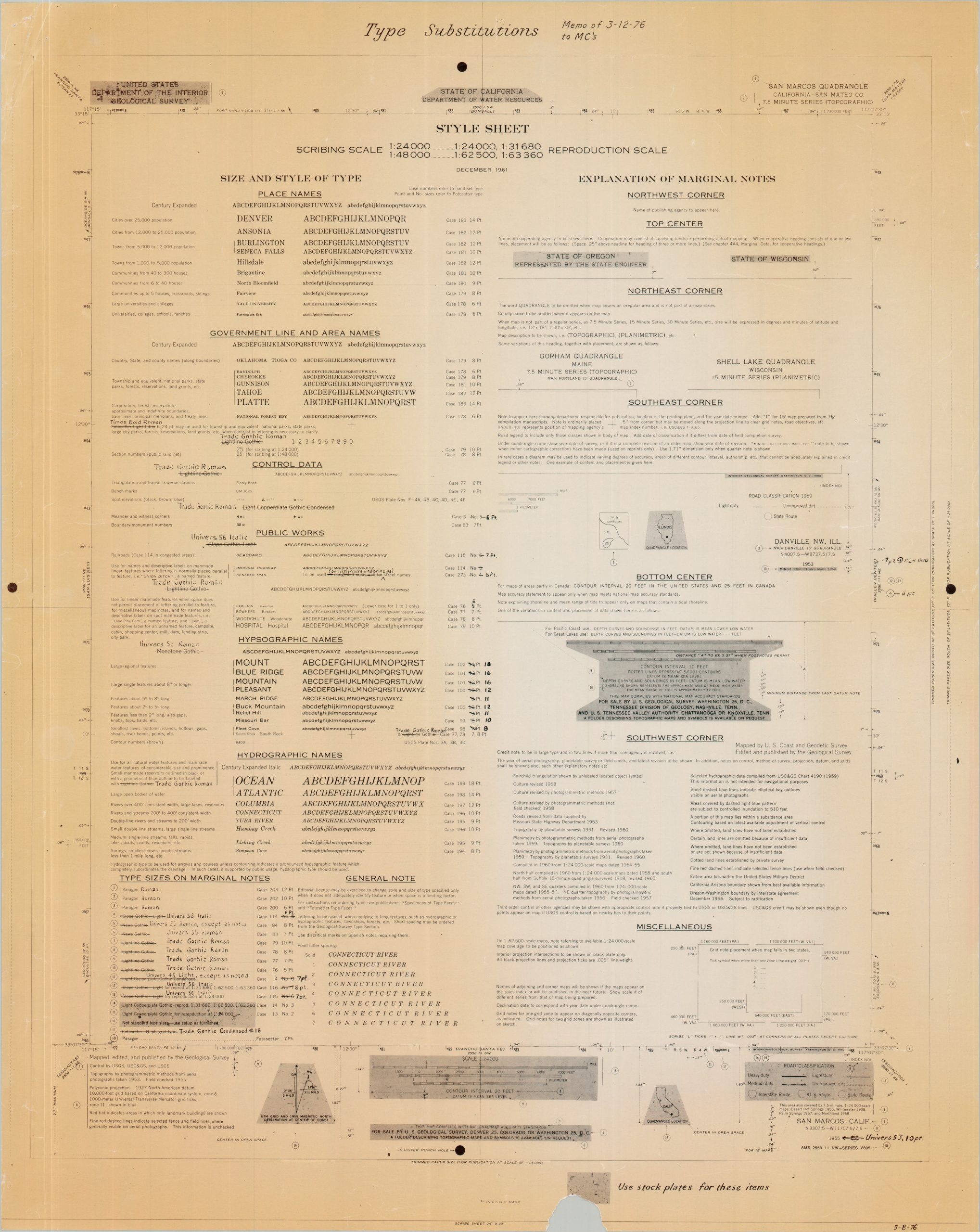
This scarce reference guide was issued by the United States Geological Survey in 1976, presumably for use by the agency’s team of draftsmen and cartographers working at its headquarters in Washington, D.C. The contents, arranged in two columns, offer a fascinating glimpse into the highly standardized production methods employed by USGS just before the dawn of the Digital Era.
The left side outlines the prescribed type styles used for different toponyms and cartographic elements appearing on USGS publications. Place names, control data, hydrographic features, marginal notes, and other labels are assigned specific fonts, sizes, and case numbers to ensure consistency across the agency’s extensive mapmaking program. Contemporary annotations and updates reflect minor revisions to these standards, including the adoption of Trade Gothic Roman.
The right column presents an “Explanation of Marginal Notes,” detailing the wealth of information traditionally found within a map’s borders. The outer margins of the sheet are likewise devoted to practical production references, including paper dimensions and punch-hole registration marks used during the drafting and printing process.
Map Details
Publication Date: 1976
Author: United States Geological Survey
Sheet Width (in): 24.00
Sheet Height (in): 30.00
Condition: B+
Condition Description: Lithographed sheet, toned along the outer edges and chipped in the lower center. Wrinkled corners. Good condition overall. Blank on verso.
$300.00
1 in stock