TWA Air Routes in the United States
TWA’s air atlas souvenir from 1955.
Out of stock
Description
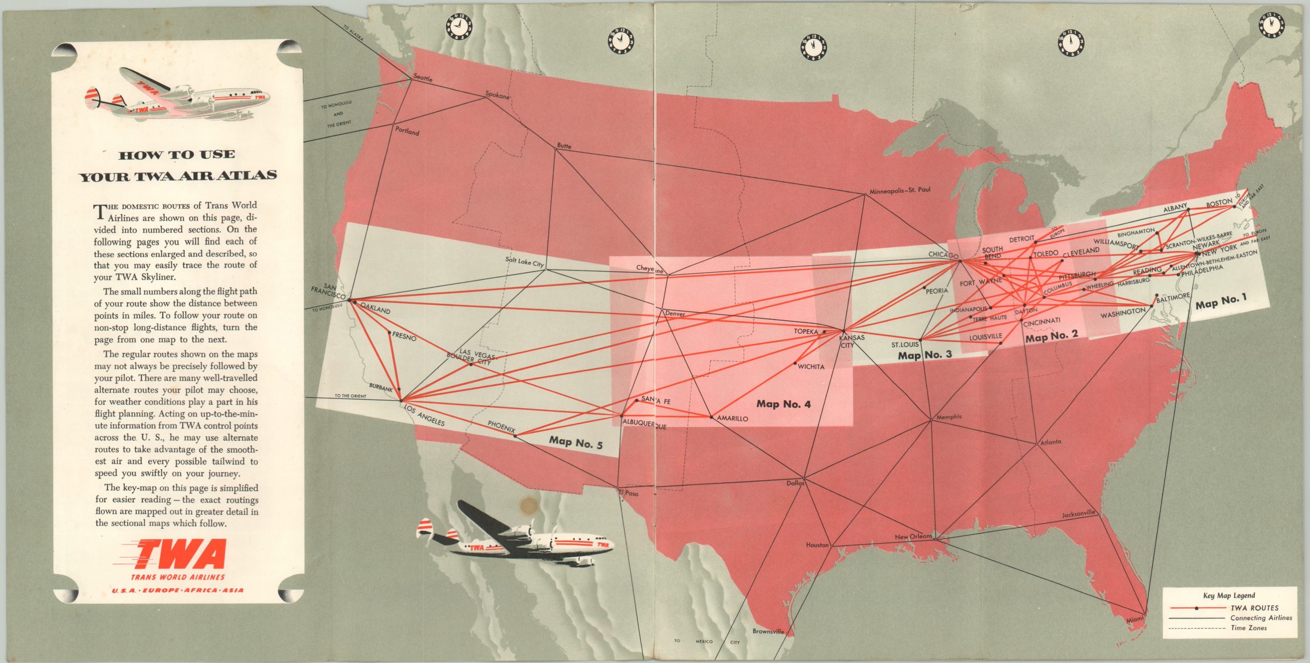
This midcentury souvenir from the ‘Golden Age of Flying’ shows the domestic routes in operation by Transworld Airlines (TWA). A key map shows the regional organization of the complex network, while the following five pages present each; New York – Pittsburgh, Pittsburgh – Chicago, Chicago – Kansas City, Kansas City – Albuquerque, and Albuquerque – Los Angeles and San Francisco.
On each sheet, the flight routes (with distance) and TWA terminals are highlighted above a terrestrial transportation map showing highways and railroads. This visual comparison allows the audience to make their own inferences on the efficiency and speed of air travel vs. standard road or rail. The final pages highlight the amenities to be enjoyed while flying aboard the TWA Constellation and Super Constellation, as well as the international routes in operation.
Created in 1955 by the General Drafting Company on behalf of Transworld Airlines, Inc.
Map Details
Publication Date: 1955
Author: General Drafting Company
Sheet Width (in): 19.80
Sheet Height (in): 10.00
Condition: A-
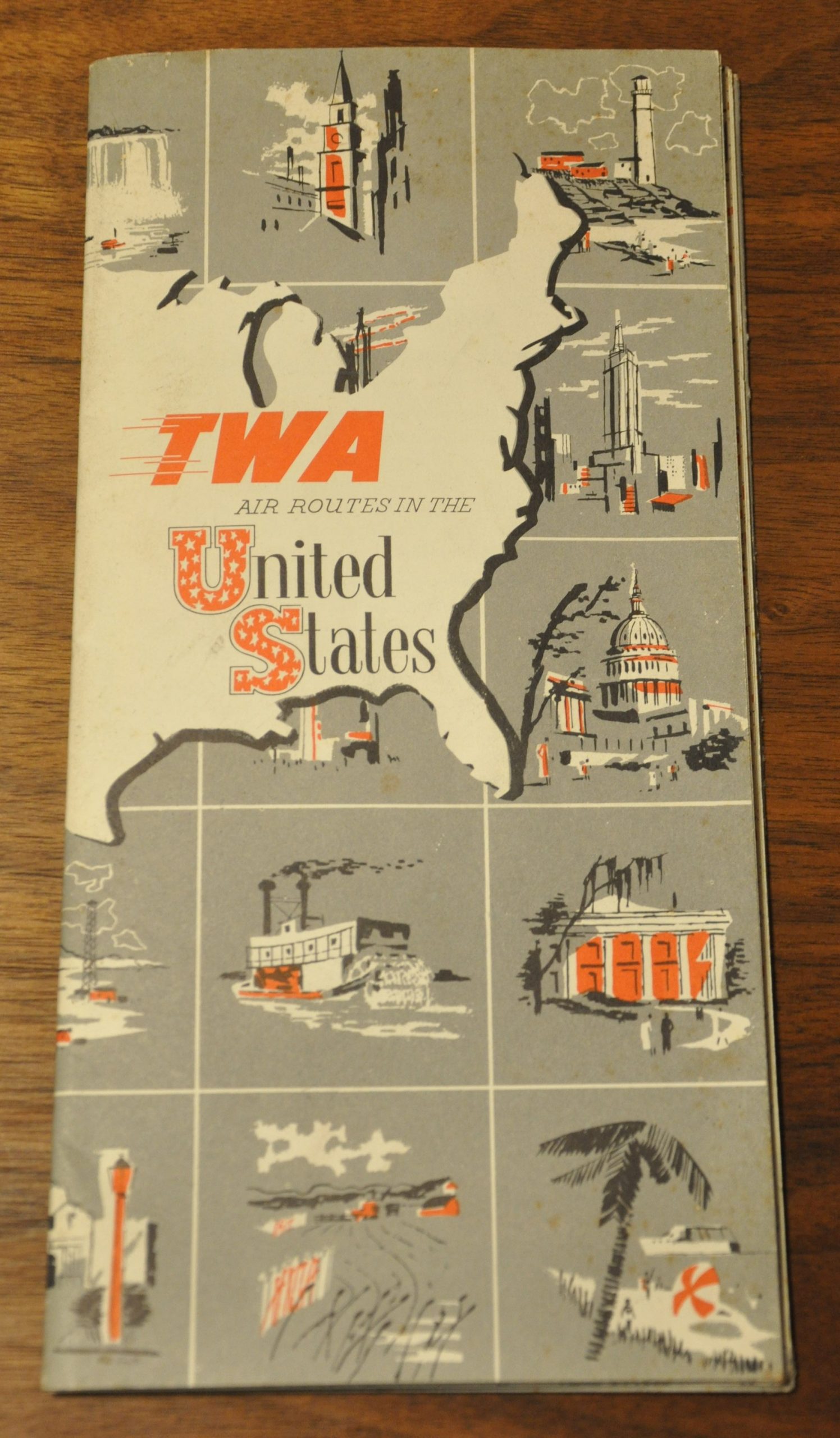
Condition Description: 8 page 'air atlas' measuring 10"x 10" folded vertically down the center. Stapled paper pictorial covers are present and strong, but soiled. Five maps, plus a key, are included. All in good, clean shape except for one small spot on the key map
Out of stock


