
Trans-Canada Highway
$90.00
An interesting guide through the western quarter of the Trans-Canada Highway.
1 in stock


Description
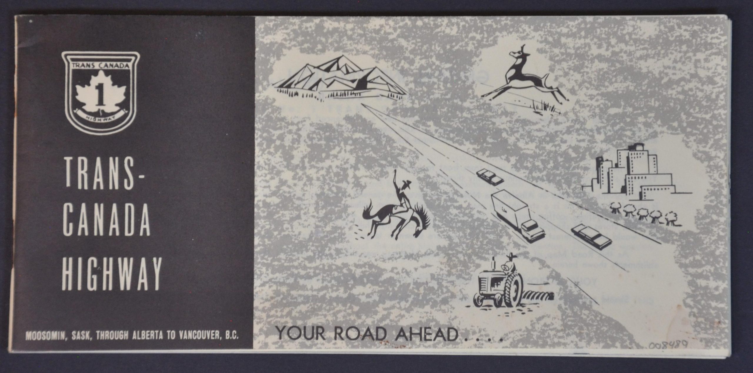
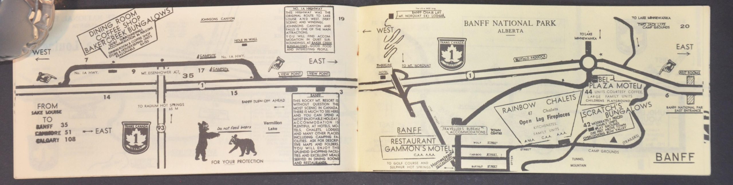
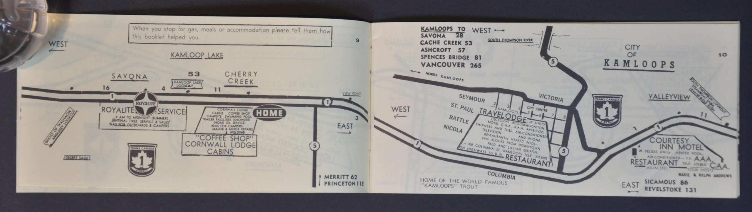
This unusual combination of directional guide and business directory was published in 1961 by Nova Maps of Calgary. Nearly fifty pages of relatively simplistic strip maps cover the length of the Trans-Canada Highway between Moosomin, Saskatchewan to Vancouver, British Columbia. Adjacent to Route 1 are noted various (presumably, sponsoring) businesses that pertain to the motor traveler, including garages, hotels, restaurants, etc. Amenities are emphasized – Open 24 Hours, Clean Rest Rooms, and Home Cooking, to name a few. Local attractions are also labeled, where applicable, including Lake Louise, Glacier National Park, Fraser Canyon, and the aerial ferry at Boston Bar. A fun, but somewhat clumsy, travel guide to Canada’s first transcontinental highway, issued the year before it officially opened to the public.
Map Details
Publication Date: 1961
Author: Nova Maps
Sheet Width (in): 7.75
Sheet Height (in): 3.75
Condition: A-
Condition Description: 49 pp. booklet with stapled binding and original paper covers. A small dampstain on the front, in the lower right corner, and three small stains on the back. Some rusting from the stapled binding. Contents are faintly toned, consistent with age. Very good condition overall.
$90.00
1 in stock