
Trail Map of the Ten Mile River Scout Camps
$135.00
An uncommon pictorial souvenir from a popular Hudson Valley Boy Scout campsite.
1 in stock

Description
“Located 75 miles from New York City, between the Delaware River and the Catskill Mountains, the Ten Mile River Scout Reservation was first assembled in 1927 by Franklin D. Roosevelt in the years before he became president of the United States. This enormous property, which is just four miles from the Woodstock Festival site, has since been used annually by more than 5,000 boys and girls of diverse backgrounds from the greater New York City area for youth leadership activities and outdoor learning experiences.” – Conservation Fund.
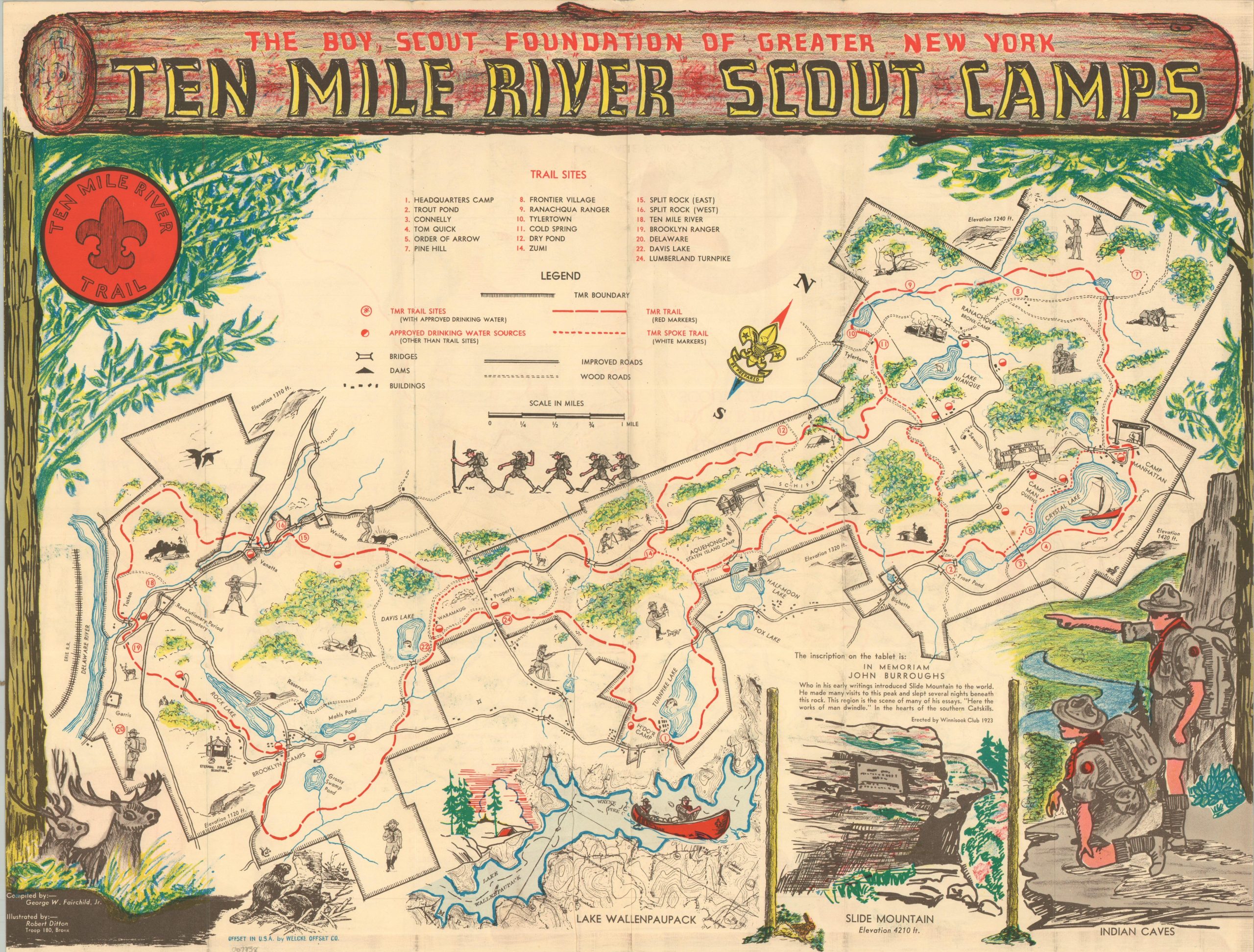
This inviting map showcases the grounds of the Boy Scout’s Ten Mile River Reservation in New York’s Hudson Valley. Trail sites, drinking sources, and major infrastructure are emphasized throughout, with several decorative elements to give a ‘feel’ for the camping experience. The verso presents a smaller map, drawn in a similar style, titled Legendary & Historical Chart of the Delaware River Valley of the Ten Mile River Reservation.
The piece was compiled by George W. Fairchild, Jr. and illustrated by Robert Ditton, a member of Troop 180 in the Bronx. Printed by Welcke Offset Printing Company and published around 1941 by the Camping Service of the Boy Scout Foundation of Greater New York.
Source: Conservation Fund.
Map Details
Publication Date: c. 1941
Author: George W. Fairchild, Jr. and Robert Ditton
Sheet Width (in): 21.25
Sheet Height (in): 16.50
Condition: A-
Condition Description: Double-sided color mailer, moderately worn along old folds and faintly toned along the outer edges. Handwriting and postmark on the verso, along with some wear and discoloration that does not affect the image. Good to very good overall.
$135.00
1 in stock