
Traffic Map of the State of Illinois
$125.00
1 in stock
Description
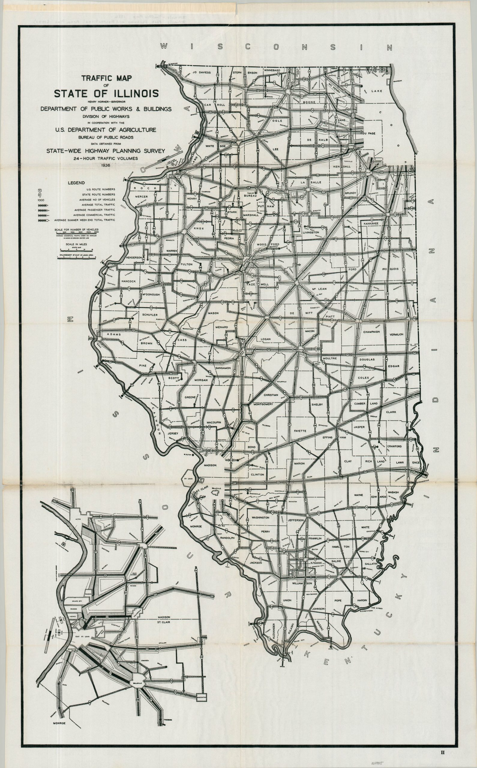
This fascinating Depression-era traffic survey map was conducted in 1936 by the Illinois Division of Highways and the Bureau of Public Roads. On it, lines of varying thickness visually reflect the assessed volume of cars over a 24-hour period. While Cook County is omitted entirely due to its dense population and robust road network, an inset in the lower-left corner highlights the high-traffic area around East St. Louis. Statewide, the heaviest flow of automobiles concentrated along Route 66 just outside of Chicago.
The map was published in 1938 as part of the Illinois State Planning Commission’s Illinois Park, Parkway, and Recreational Area Plan. According to a local history of Lee County by Shaefer Landscape Architects, this report was commissioned shortly after the state began acquiring land for its proposed parks. The original intent of the state law was to connect these new parks via a sprawling system of scenic parkways—much like the boulevards linking the great parks of Chicago or the Cook County Forest Preserves. However, recognizing that such a massive statewide network wasn’t financially or logistically feasible, the 1938 report ultimately scaled back the vision, mapping out a limited number of routes deemed highly practical.
Map Details
Publication Date: 1936
Author: Illinois Division of Highways and U.S. Bureau of Public Roads
Sheet Width (in): 23.75
Sheet Height (in): 38.00
Condition: B+
Condition Description: Black and white map printed on thin, watermarked paper. Gummed upper edge where previously bound. Irregular tear, about 4", in the upper center repairs on verso. Good condition overall.
$125.00
1 in stock