
Tourists’ Map of Hudson River
$125.00
A leisurely cruise down the Hudson in the early 1920s.
1 in stock


Description
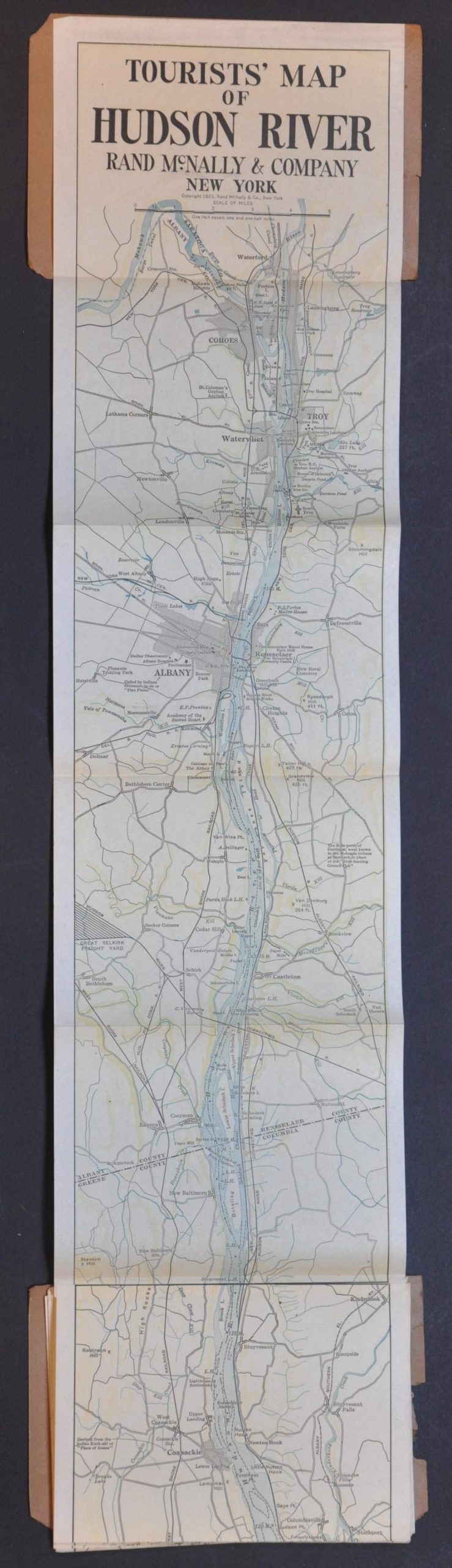
This charming ribbon-style tourist map presents the course of the Hudson River between Coney Island and the confluence with the Mohawk, just north of Troy. At a scale of 1″ = 1.5 miles, the image provides a detailed overview of the major attractions, geographic features, and transportation network along the route. Numerous summer resorts, parks, private estates, historic sites, and health/education facilities are among the scores of locations of interest that make a cruise along the Hudson River among the most popular tours of the Northeast.
Map Details
Publication Date: 1923
Author: Rand McNally & Company
Sheet Width (in):
Sheet Height (in):
Condition: A-
Condition Description: Long strip map folded and affixed to original brown paper wraps, split along the spine to facilitate scanning, then repaired with archival tape. The covers are chipped and worn, brittle with age, but the color-printed map is in near fine condition, folded accordion-style.
$125.00
1 in stock