
Tourist Map of Japan
$110.00
A detailed map of the fledgling tourism industry in postwar Japan.
1 in stock
Description
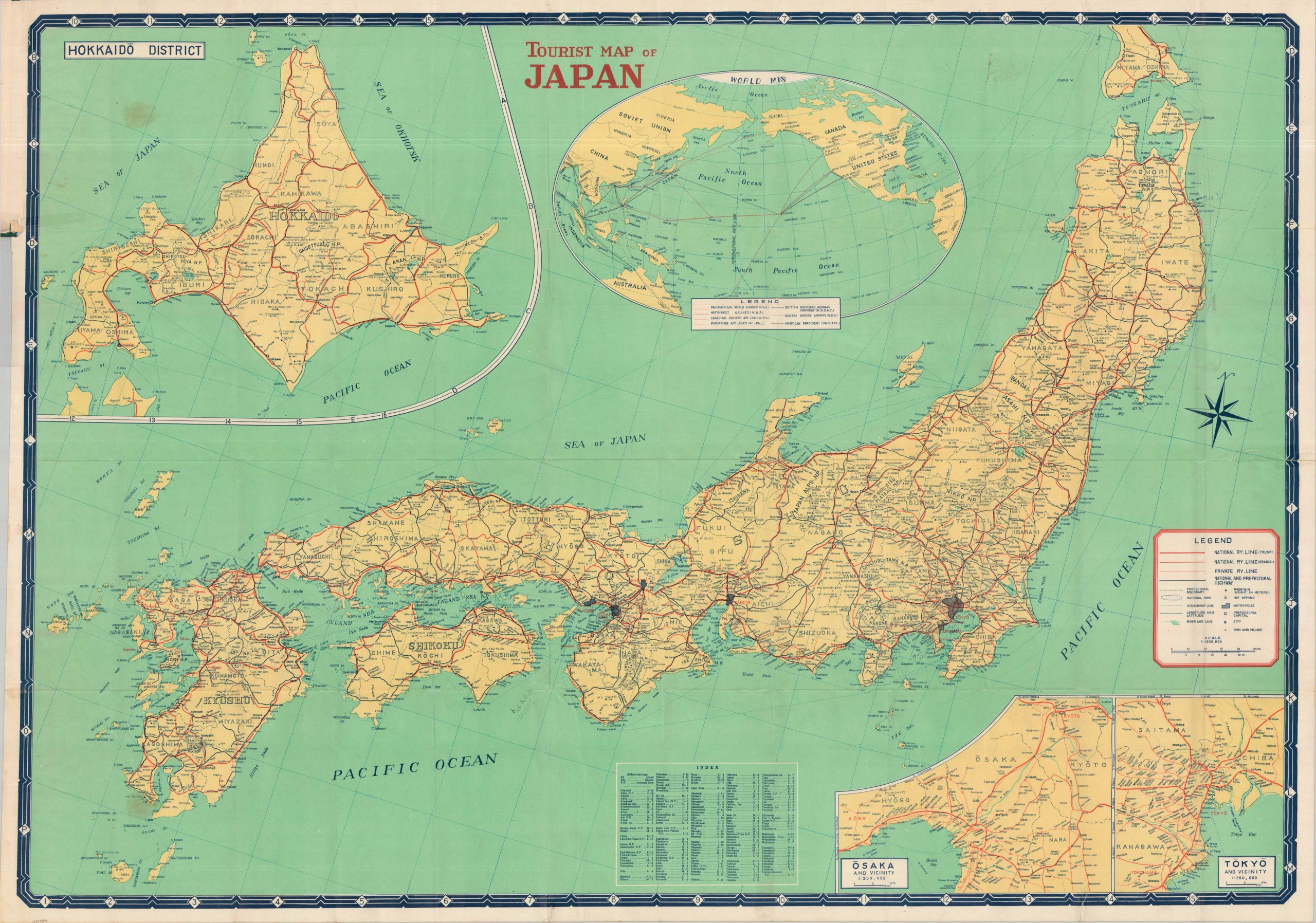
This detailed pocket map of mid-century Japan was published in Tokyo in 1951 by the Japanese Travel Bureau. The utter devastation wrought across the nation less than a decade prior is nowhere to be seen (though, toponyms in red appear to represent heavily damaged places) – replaced with a neat and orderly system of railway networks, highways, and steamship lines.
Leisure can be found in the cities or the countryside; hot springs, mountains, and National Parks are all identified in the legend (lower right). Insets showcase the regions of Hokkaido, Osaka, and Tokyo, while an interesting map of the Pacific in the upper center showcases the primary (and still novel) aviation routes to Japan. A previous owner has marked what appears to be a ship’s track and several dated stops within the image – possibly related to WWII military operations or the subsequent American occupation.
Map Details
Publication Date: 1951
Author: Japan Travel Bureau
Sheet Width (in): 40
Sheet Height (in): 28.75
Condition: B+
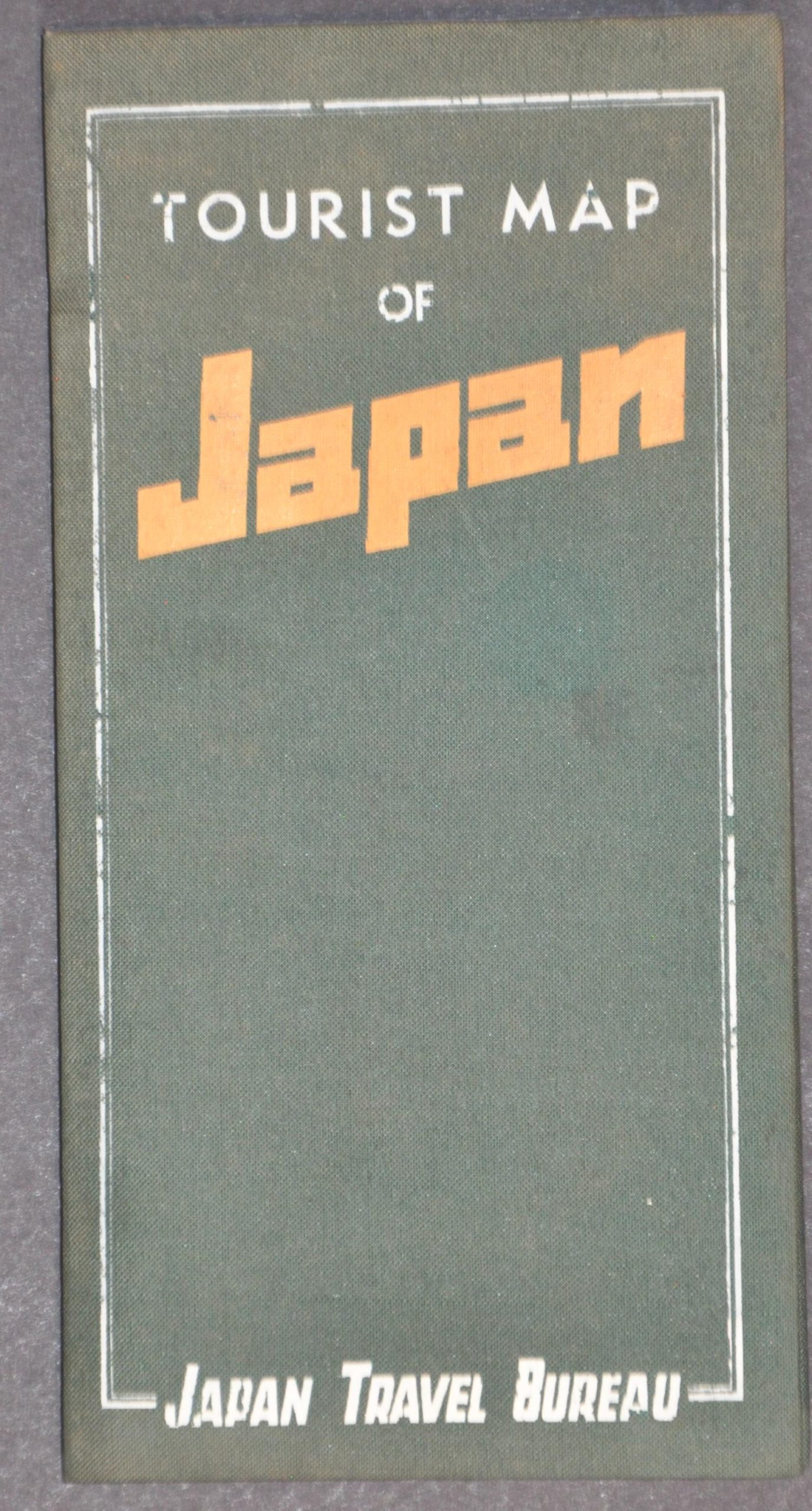
Condition Description: Large color printed map, folded into 48 segments and affixed to original green cloth colored wraps. A 2" tear in the upper left (adjacent to covers) and a 3" tear in the center left, both repaired with old cellophane tape. Some wrinkling at fold joints throughout the image, along with handwritten notes in black ink. Two quarter-sized spots visible on the left side of the sheet. Good condition overall. Blank on verso.
$110.00
1 in stock