Toronto
$75.00
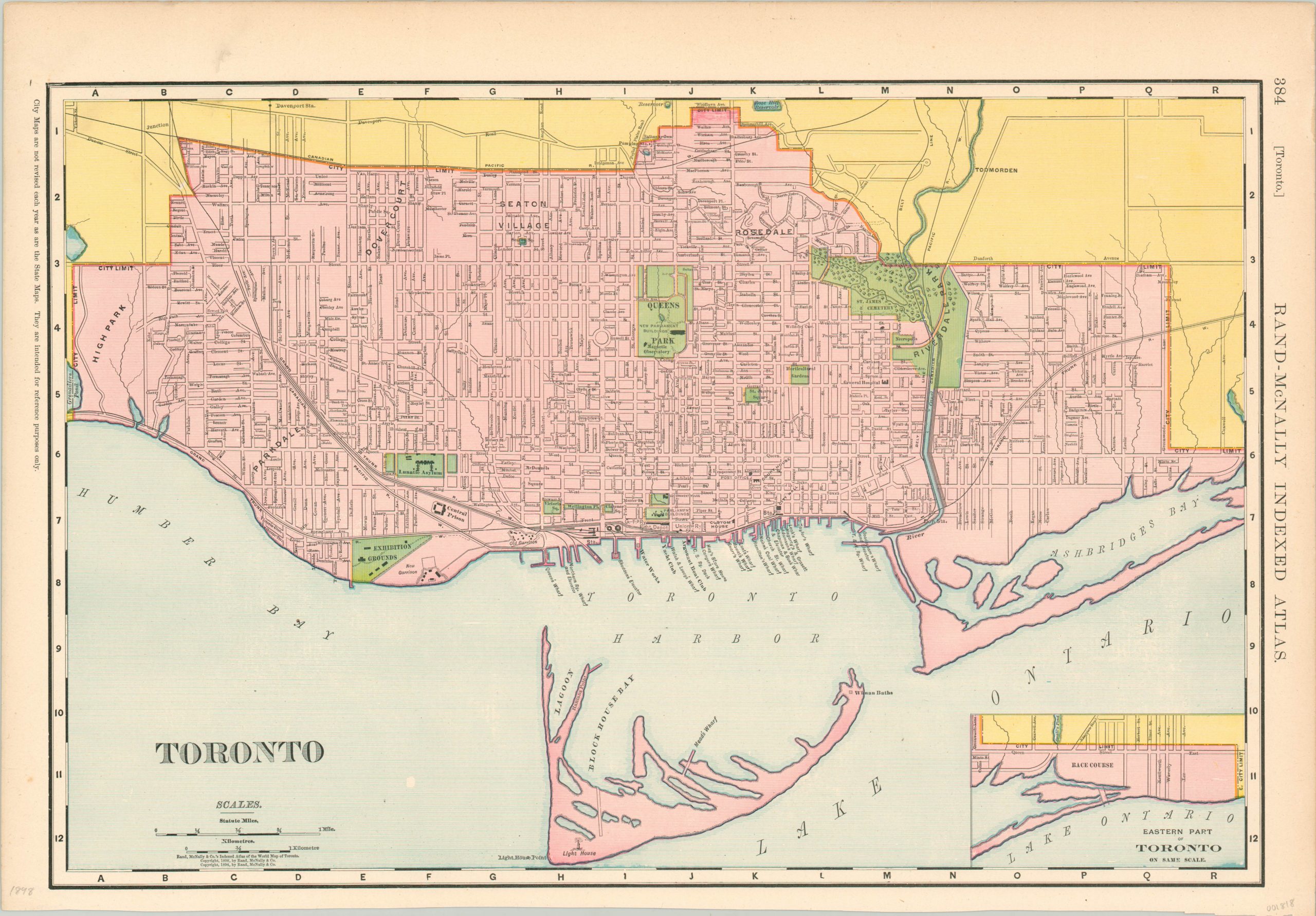
Toronto at the turn of the century.
1 in stock
Description
This detailed city plan of Toronto was published in Chicago by Rand McNally in 1898. It shows the most populous Canadian city at a slightly skewed orientation to maximize presentable space. The city limits are shown in lithographed color over a basic street grid, with parks and public areas highlighted in green.
Notable buildings are individually identified and labeled, and a small inset map in the lower right shows the eastern part of Toronto at the same scale. A fascinating overview of the city as the 19th century drew to a close.
Map Details
Publication Date: 1898
Author: Rand McNally
Sheet Width (in): 20.50
Sheet Height (in): 14.25
Condition: A-
Condition Description: Worn outer edges and a bit of soiling in the upper left corner. Very good condition overall.
$75.00
1 in stock

