
Topographic Map of the Niagara Gorge
$165.00
The safest way to travel down the Niagara Falls!
1 in stock
Description
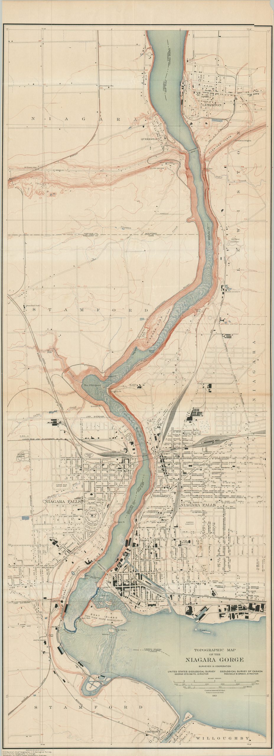
This marvelously detailed map shows a portion of the U.S./Canadian border along the Niagara River, including the famed Niagara Falls. The gorge through which the waterway meanders is highlighted using contoured topography, while the adjacent banks offer a precise overview of the towns and physical landscape. Public buildings, notable geographic features, and the local transportation system are also labeled throughout the image. Of interest are the Maid of the Mist Landings, the Niagara Falls Driving Park, and significant industry drawn to the ample availability of hydroelectric power.
The map displays results that were surveyed jointly by the United States Geological Survey and the Geological Survey of Canada, likely as part of earlier work on the Boundary Waters Treaty. The Chief Geographer was R.B. Marshall, with Charles E. Cook credited for the topographic data. Engraved and published by the U.S.G.S. in 1913.
Map Details
Publication Date: 1913
Author: United States Geological Survey
Sheet Width (in): 17.25
Sheet Height (in): 48.00
Condition: B+
Condition Description: Color map printed on a thin sheet of single-sided paper with narrow left and right margins (as issued). Wrinkling and creasing along old folds, with small pinholes at the fold joints. A few small tears along the outer edges. Good condition overall.
$165.00
1 in stock