Tokyo City Ku Maps
$140.00
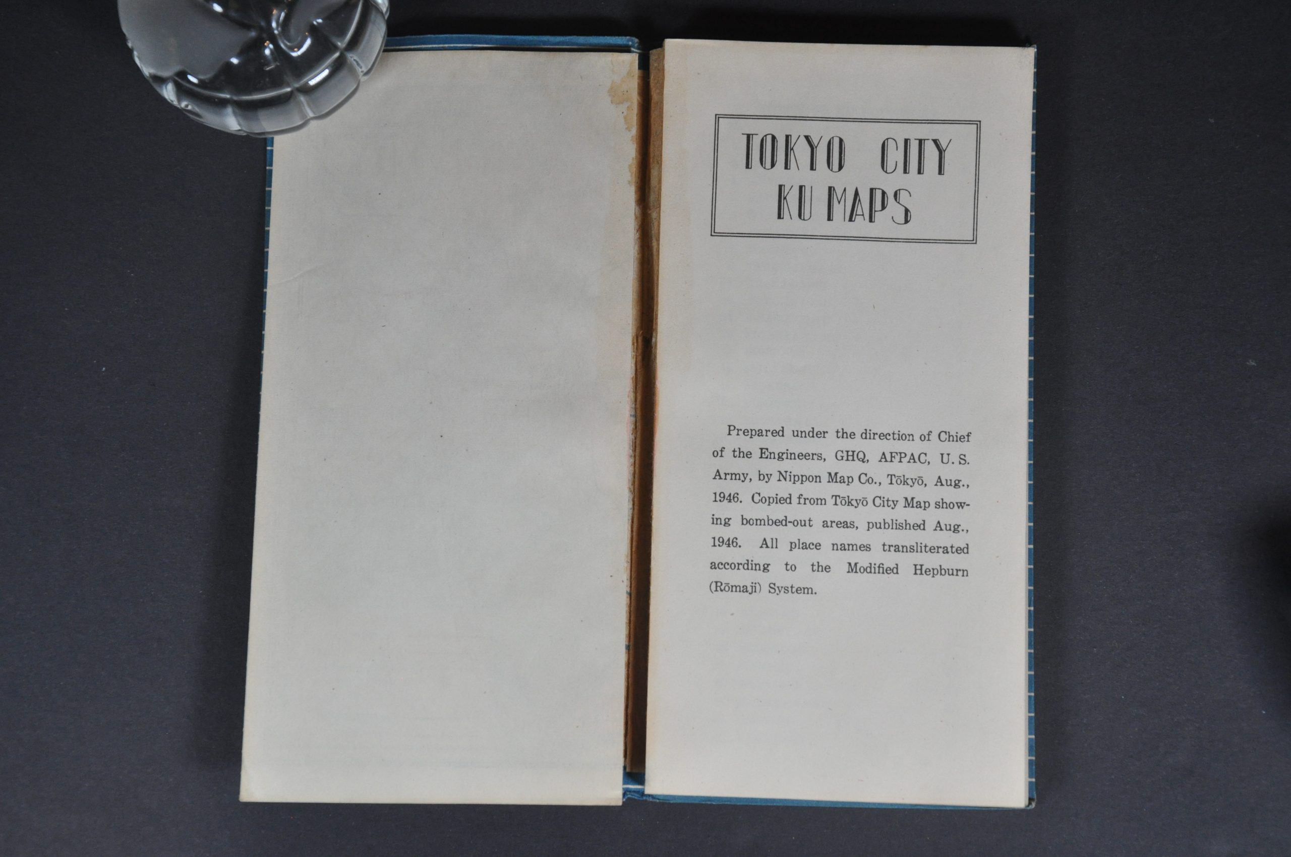
Detailed occupation atlas of Tokyo from 1946.
1 in stock
Description
The American-led Allied occupation of Japan began shortly after the official surrender documents were signed aboard the U.S.S. Missouri on September 2nd, 1945 – nearly six years to the day after German forces invaded Poland and started what is now known as World War II. A military government under the leadership of Douglas MacArthur oversaw not just the reconstruction of major urban centers, transportation networks, and military facilities, but the complete reconstitution of the Japanese economy and political ideology.
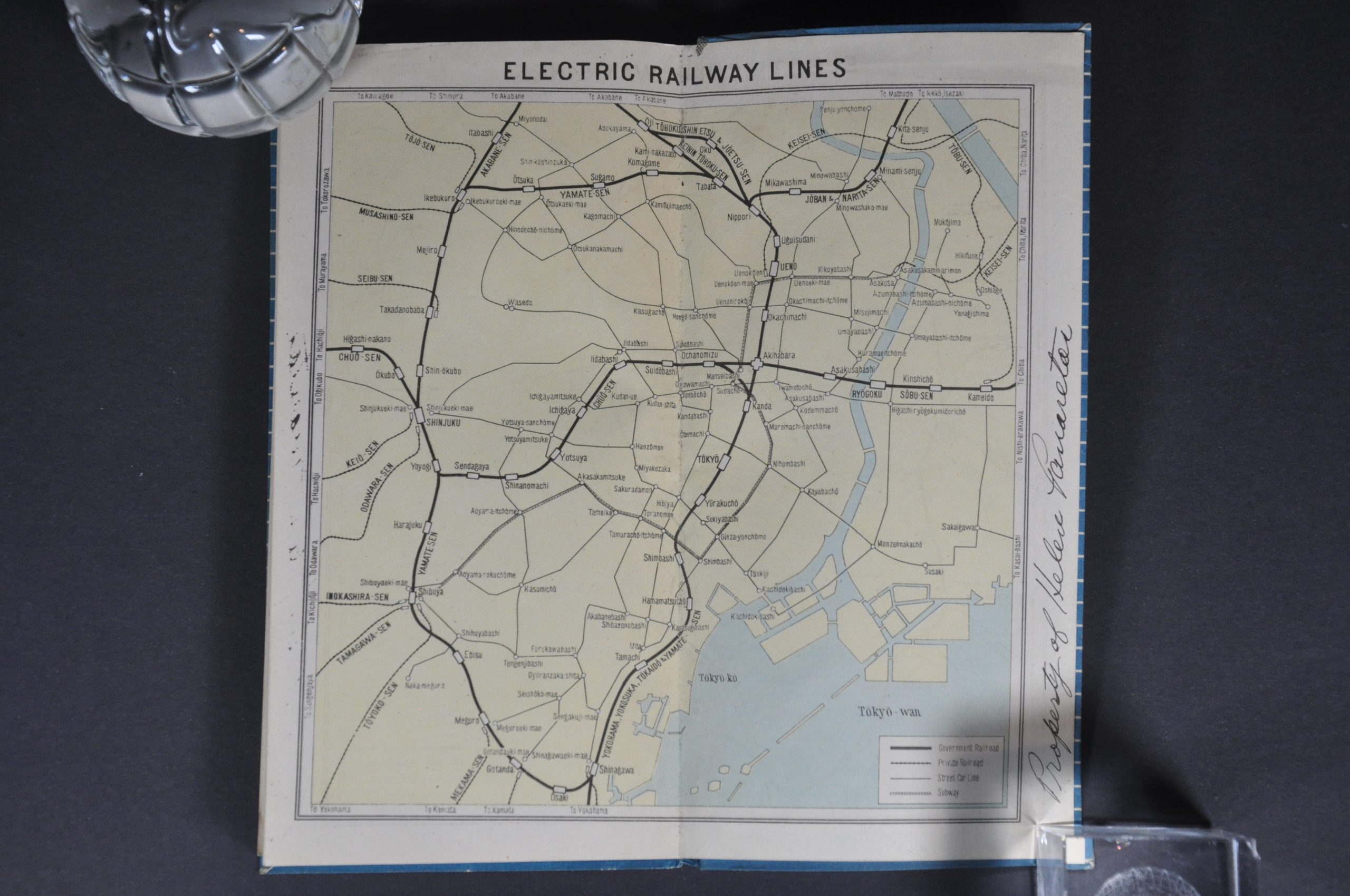
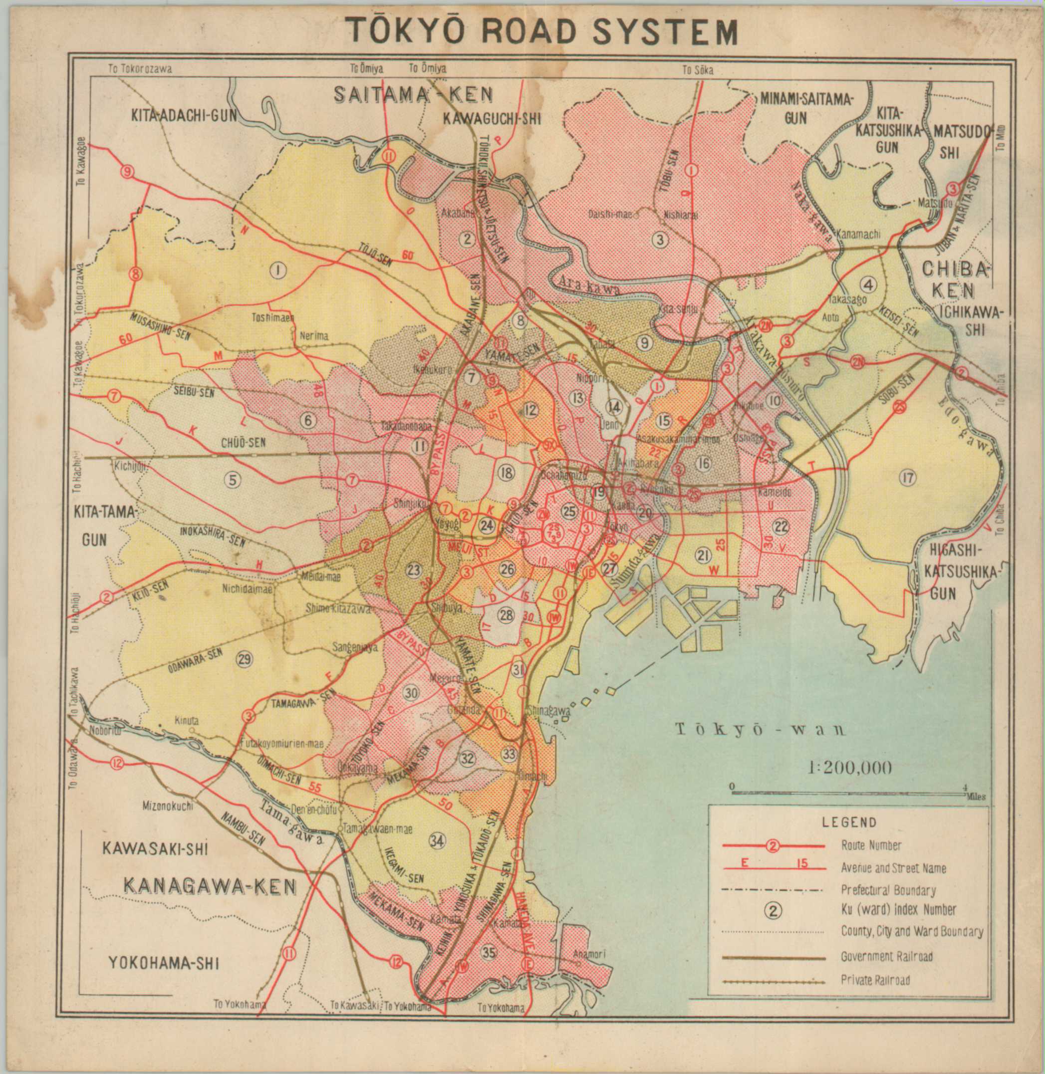
This handy guidebook to Tokyo was published in August of 1946, just over a year after much of the city was destroyed by a series of aerial firebombing raids. It includes 36 large-scale maps that show primary transportation routes, important buildings (schools, banks, hospitals, police stations, post offices, etc.), and political boundaries. Yellow and green highlights show bombed-out areas and spaces deliberately destroyed as firebreaks to contain the devastation.
The city atlas was prepared for exclusive use by Allied forces by the Nippon Map Company. Published in August of 1946 in Tokyo under the direction of the Chief of Engineers, GHQ, Army Forces in the Pacific (AFPAC).
Map Details
Publication Date: 1946
Author: Nippon Map Company
Sheet Width (in): See Description
Sheet Height (in): See Description
Condition: A-
Condition Description: 28 pp. city atlas bound with glue to original stiff blue paper wraps. Gutters are broken and one map (unpaginated) shows moderate dampstaining and is separate from the binding. Otherwise contents are generally in very good condition, with each color centerfold map measuring approximately 6.75" x 7". Old owner's inscription on the front cover and back page.
$140.00
1 in stock


