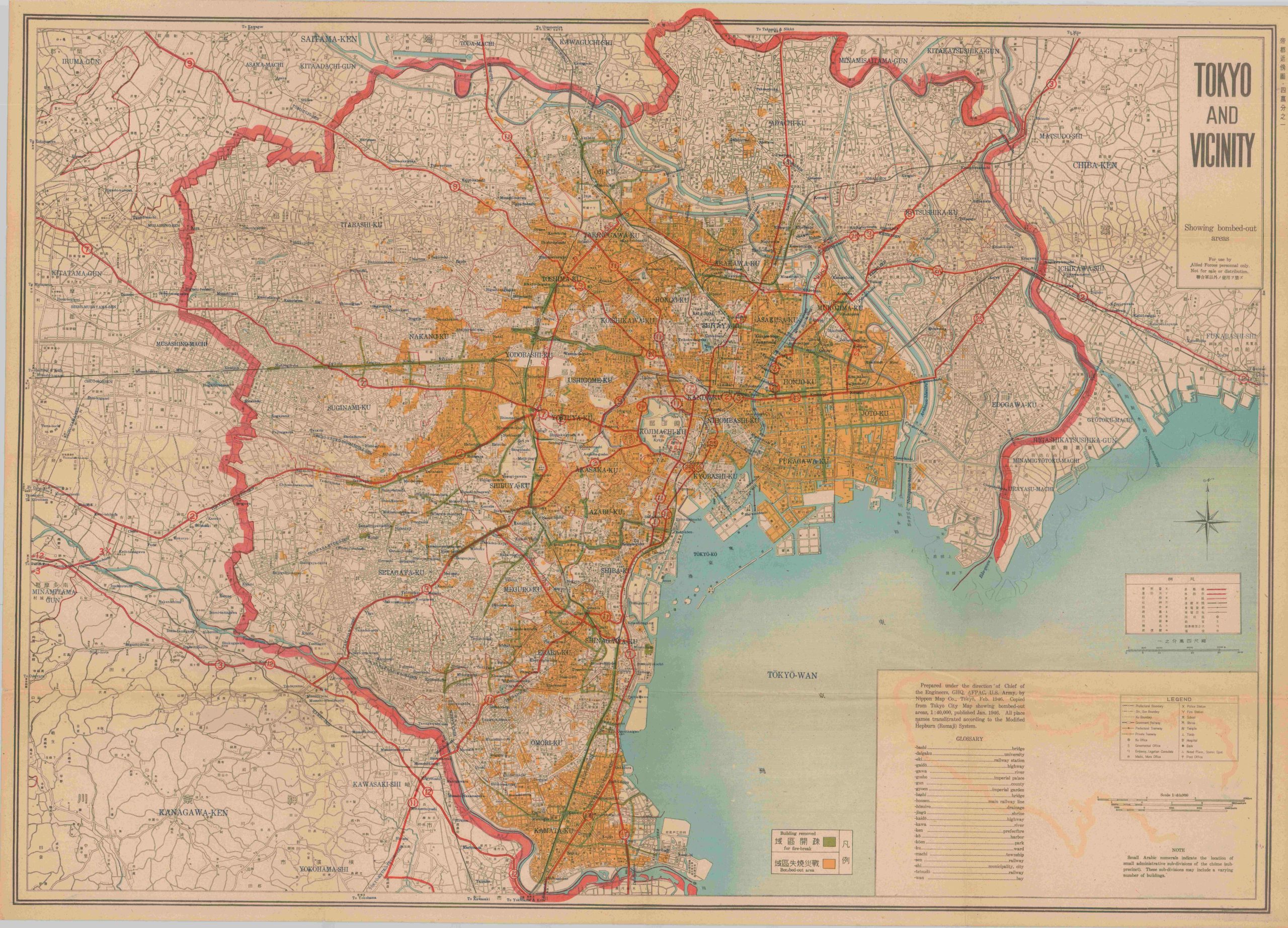
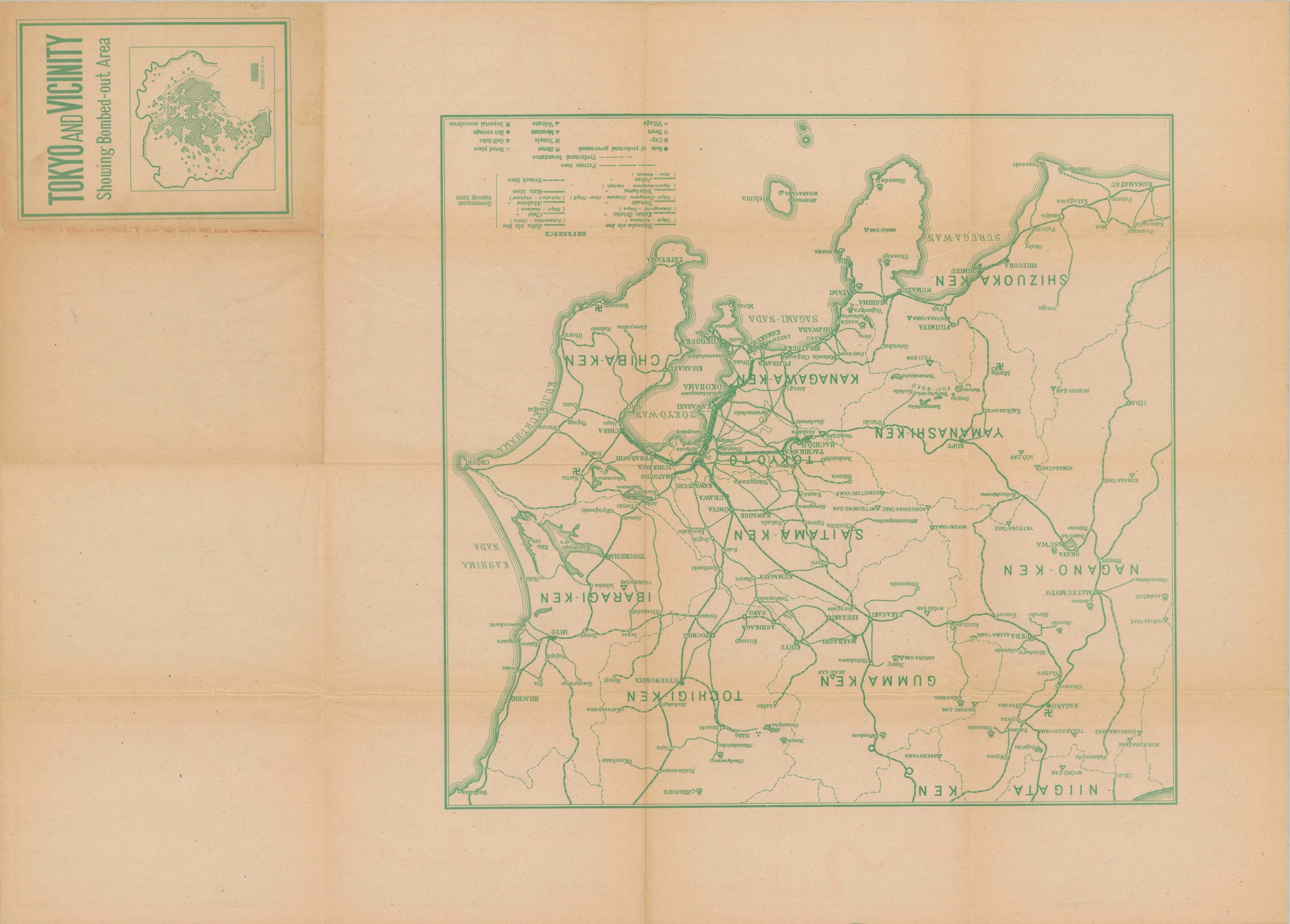
Tokyo and Vicinity Showing bombed-out areas
$750.00
Mapping Hell on Earth.
1 in stock
Description
This stark map of downtown Tokyo does little to convey the true nature of the devastation that befell the inhabitants of the Japanese capital on March 10, 1944. Shortly after midnight, over 275 B-29 Superfortresses streamed over the city in an unbroken line at less than 5,000 ft, dropping over 1,500 tons of incendiary munitions. The raid, which took place over the course of about 1 hour, was the deadliest single attack of World War II, surpassing the casualty toll of even the atomic bombs dropped on Hiroshima and Nagasaki. Somewhere between 80,000 and 150,000 civilians over sixteen square miles lost their lives in a terrible fashion, but the true death total can never be determined.
The destruction was intentional – the United States Air Force under Curtis LeMay knew the densely-populated housing district, with structures made primarily of wood, would be particularly susceptible to fire-bombing (vs. the high-explosives used on cities throughout Europe). The strategy represented a departure from earlier operational procedures, which employed daylight missions at high altitudes. The success encouraged follow-up incendiary attacks on Nagoya, Osaka, and Kobe later that week.
The image presents a base map of the city that identifies various political boundaries, transportation routes, and locations of interest according to the legend in the lower right. Green overprinting identifies the deliberate firebreaks created to stop the spread of the blaze. These superhuman efforts (Tokyo had less than 10,000 firefighters) were unsuccessful, as shown by the vast swathes of yellow color that show the bombed-out areas. The map was prepared under the direction of General Headquarters Chief Engineer, U.S. Army Forces in the Pacific (AFPAC) and published in Tokyo by the Nippon Map Company in February of 1946.
Sources: National World War II Museum; Smithsonian Magazine; Japan Air Raids.org;
Map Details
Publication Date: 1945
Author: Nippon Map Company
Sheet Width (in): 41.75
Sheet Height (in): 30.25
Condition: A-
Condition Description: Large double sided map, folded into sixteen sections as originally issued. The sheet is strong but lightly toned, with some spots of separation at fold intersections and scattered offsetting from the printed color. Good to very good condition overall.
$750.00
1 in stock