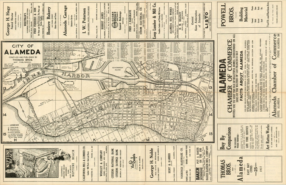
Thomas Brothers Map of Alameda and East Bay Cities
$150.00
Large dual sided map of East Bay cities, including Oakland, Berkeley, Alameda and Piedmont.
Description
This is a nice Thomas Brothers map of the area along the eastern shore of San Francisco Bay, from Cerrito to San Leandro. Street names are packed densely throughout and locations of interest such as railroad depots, manufacturers, parks and country clubs can also be seen. Finely printed street indexes of each city are present and the map is flanked by insets of routes to Lake Tahoe, Sacramento, and Eureka. Perhaps the most interesting aspect of the map are the surrounding advertisements, promoting items like fur coats and gloves, groceries, and electrical wiring.
On the verso of the map is a detailed city plan of Alameda, again encircled by pitches for local goods and services. An ad for Neptune Beach (“California’s Greatest Beach Amusement Park) and the Alameda Chamber of Commerce are particularly appealing.
Map Details
Publication Date: 1927
Author: Thomas Brothers
Sheet Width (in): 34
Sheet Height (in): 22
Condition: A
Condition Description: The map is in very good condition, with only minor discoloration along the center fold line.
$150.00

