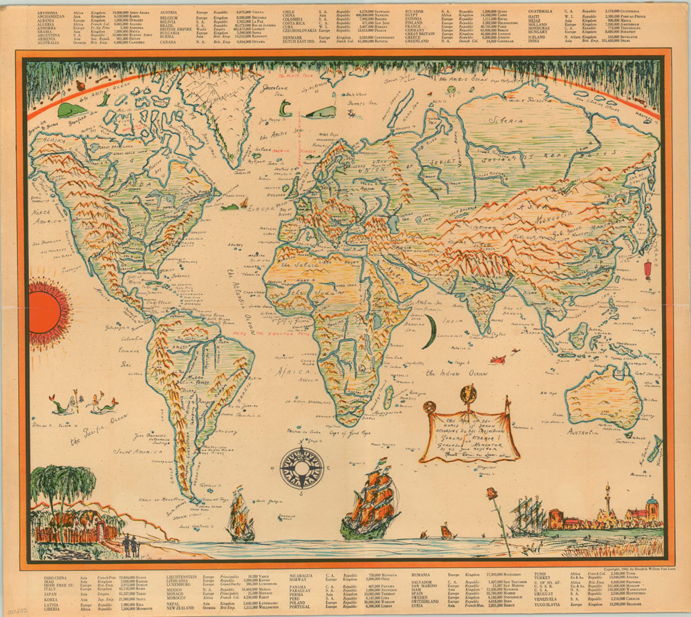
This map of the world is drawn according to the projection of Gerard Kremer or Gerardus Mercator
$125.00
Illustrated map of the world drawn by a Dutch author according to Mercator’s projection.
Description
Hendrik Willem van Loon was an award winning children’s author from the Netherlands who was active throughout Europe in the first half of the 1900’s. This humorous map of the world was illustrated by van Loon, likely to accompany one of his popular historical books aimed at young adults. Topographical relief and hydrological systems are shown pictorially, giving the audience an impression of the general layout of the world rather than any precise geographical information. Extensive script throughout the image labels countries, islands and major cities while drawings across the bottom depict the bridge between the New and Old Worlds.
In the border can be found more practical data, including a typed list of countries, their capital, government type and estimated population.
Map Details
Publication Date: 1932
Author: Hendrik Willem Van Loon
Sheet Width (in): 21.5
Sheet Height (in): 19
Condition: C
Condition Description: The map's image is in good shape with bright colors, but the page has been mounted to a backing board.
$125.00