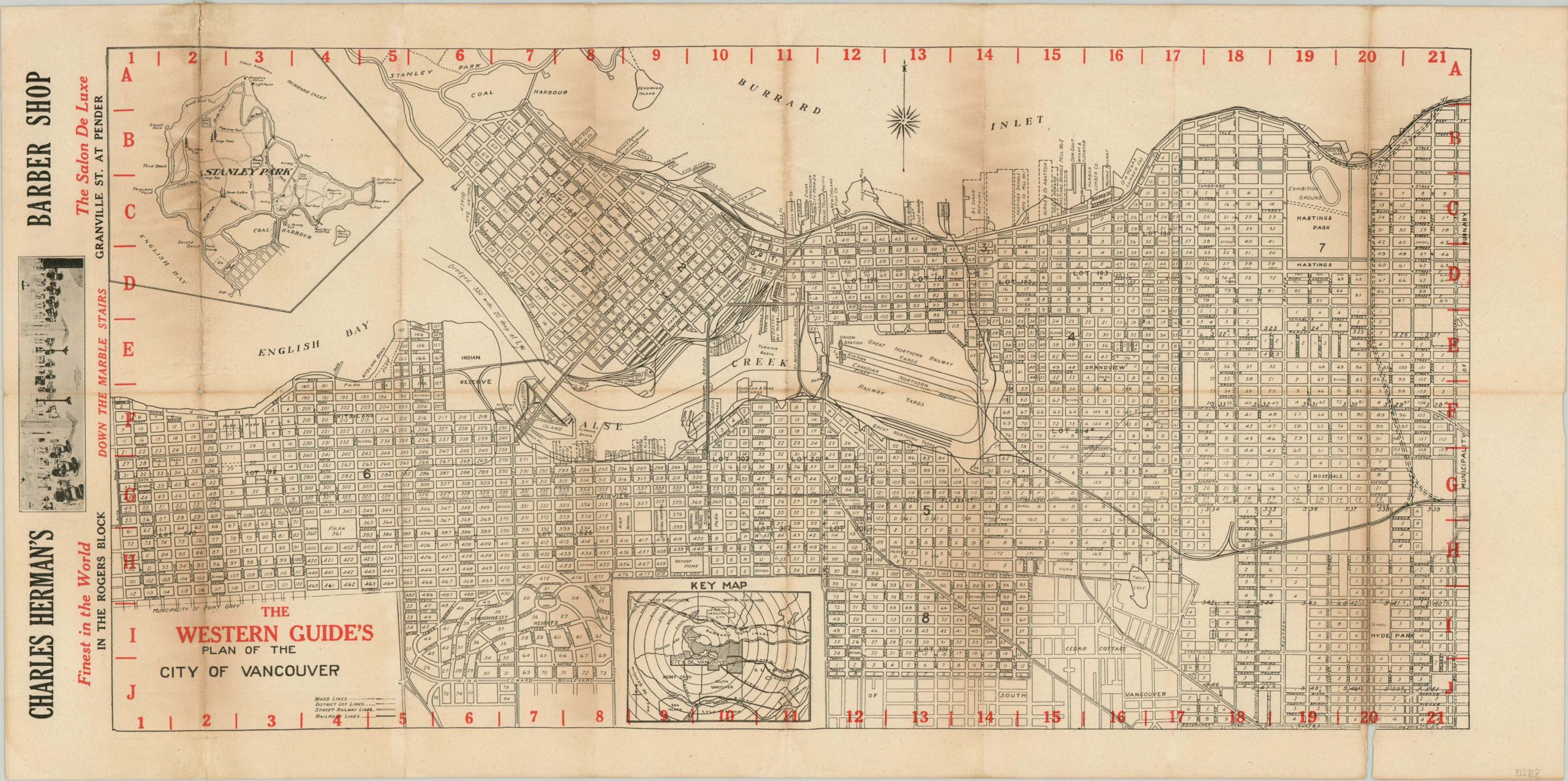
The Western Guide’s Plan of the City of Vancouver
$150.00
“The Western Guide. A thousand features of information valuable to local business men.”
1 in stock
Description
This detailed plan of Vancouver, British Columbia was published by The Western Guide around 1920, based on the city officials listed on the verso. Block numbers and streets are individually labeled, along with railroads, prominent businesses, and other locations of interest. An inset of Stanley Park, one of the city’s largest that sits on a peninsula at the entrance to Vancouver Harbor, can be seen in the upper left.
The verso features a comprehensive location index, along with numerous contemporary advertisements. One such example for Charles Herman’s barber shop, allegedly ‘the Finest in the World’, can be seen on the recto on the left side of the sheet.
Map Details
Publication Date: c. 1920
Author: The Western Guide
Sheet Width (in): 24.30
Sheet Height (in): 12.10
Condition: B+
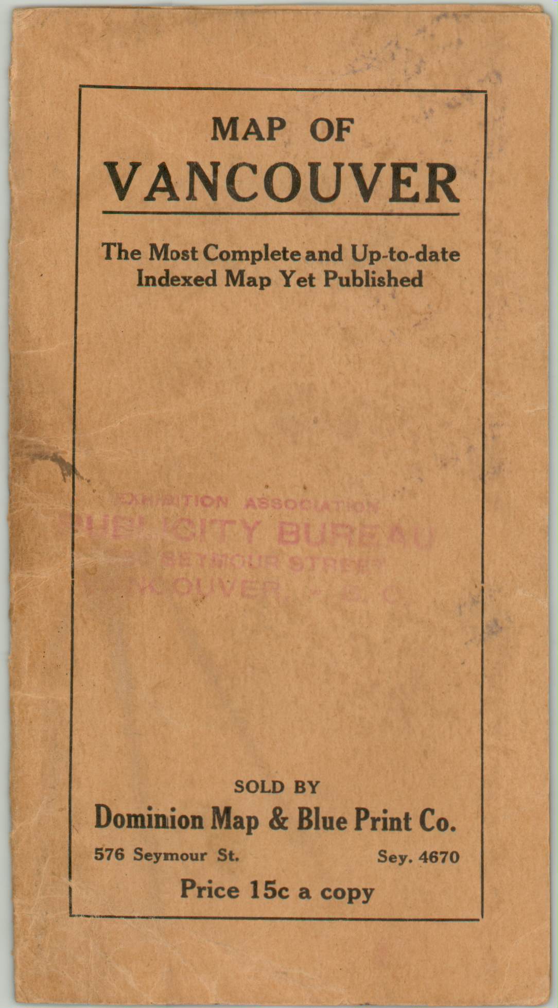
Condition Description: Moderate to heavy wear along originally issued fold lines, including several areas of discoloration and separation that has resulted in minor image loss. Several tears have been repaired on the verso with archival tape. Original paper wrappers are present and in good condition, but completely separate from the map's sheet.
$150.00
1 in stock


