
The Underground Map of London
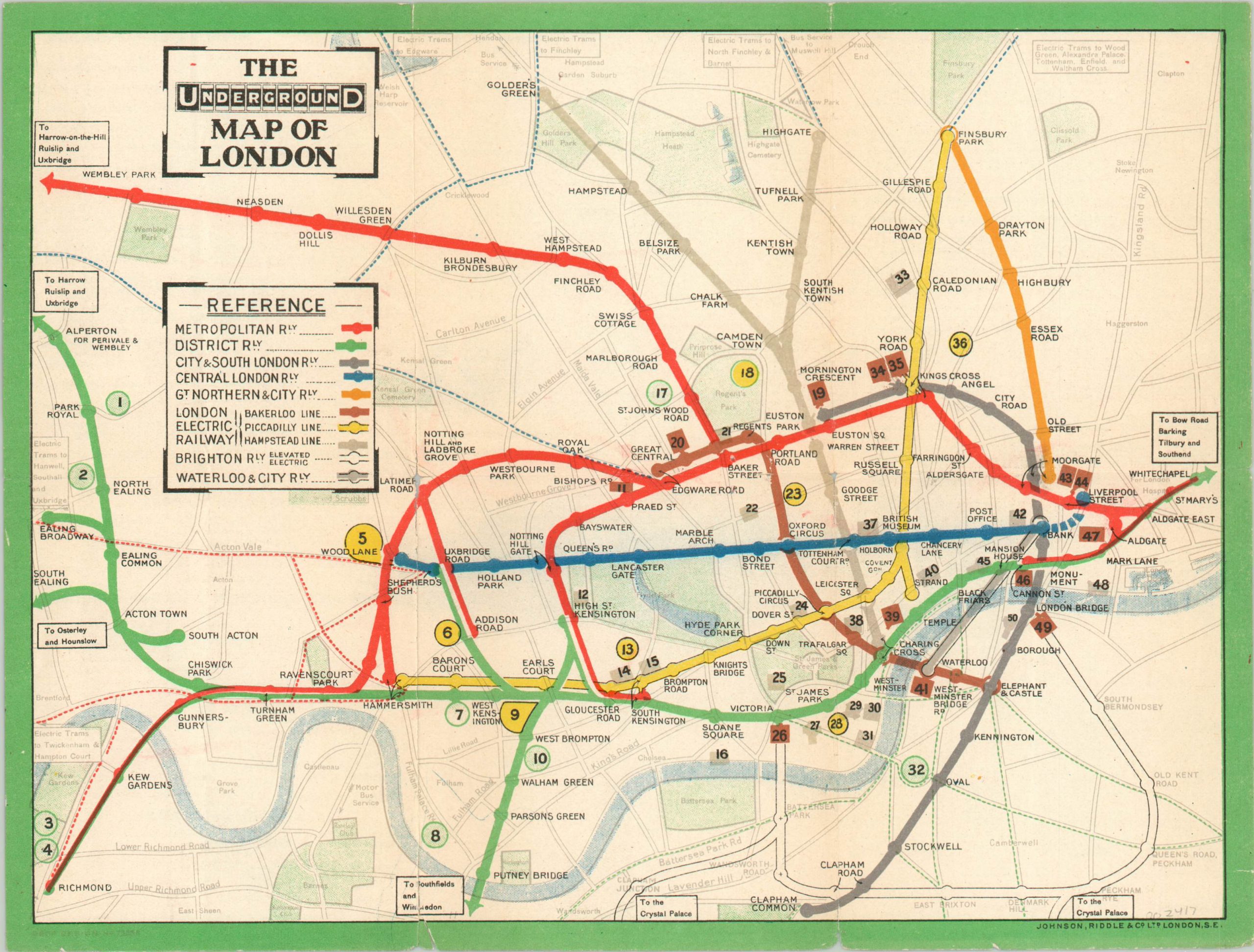
Small pocket map of the London Underground.
Out of stock
Description
This lovely vibrant map of London’s famous Underground network was published locally in 1936 by the firm of Johnson, Riddle & Company. A colorful plan of each route in operation labels each stop (note Post Office, renamed to St. Paul’s in 1937) and notes the locations of 50 places of interest.
The verso includes additional information on each, as well as an inset plan of the Theater District, a list of churches, galleries and shopping centers, and a list of the exhibitions currently open (including Coronation and the Festival of Empire).
Map Details
Publication Date: 1936
Author: Johnson, Riddle & Co.
Sheet Width (in): 10.50
Sheet Height (in): See Description
Condition: B+
Condition Description: Light wear and creasing along former fold lines, which have also separated along the seams (repaired on verso). A bit of edge wear and small tears, with pencil marks on verso, but the map remains in very good condition overall.
Out of stock