
The Tri-City Railway & Light Co. System
$160.00
An uncommon map of the Quad Cities major transportation and power infrastructure.
1 in stock

Description
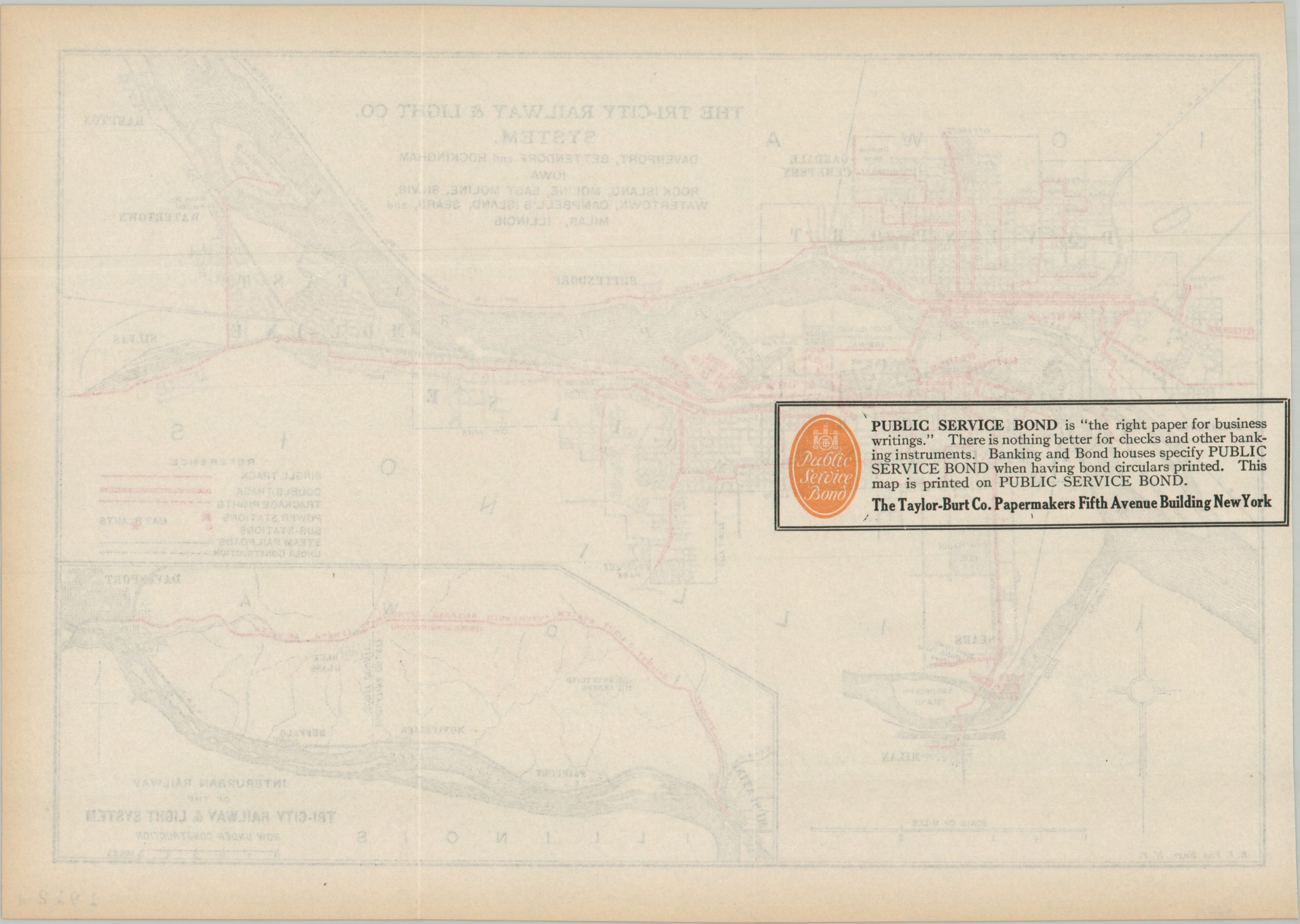
This scarce and ephemeral map of the Quad Cities (Davenport, Moline, Bettendorf, and Rock Island) highlights the various components of the Tri-City Railway & Light Company (Quad Cities wouldn’t come into vogue until the 1930s). Railroads are brightly colored in red, along with the locations of power stations, substations, and gas plants. An inset in the lower right shows the expanding interurban system under construction to Muscatine. The line would become operational in 1912 and eventually become part of the Clinton, Davenport and Muscatine Railway.
The map was engraved by E.F. Fisk of New York and likely published around 1912, according to the stamped date in the lower right corner. Printed on fine watermarked paper by The Taylor-Burt Company. An ad for the firm on the verso notes the sheet is public service bond quality – ‘there is no thing better for checks and other banking instruments’ (including bond circulars). While several pamphlets and annual reports are listed within WorldCat, there are no entries that directly correlate to the title of this map. There are two examples found in other online sources, but it appears to be a rare survivor.
Map Details
Publication Date: c. 1911
Author: E.F. Fisk
Sheet Width (in): 12.60
Sheet Height (in): 9.00
Condition: A-
Condition Description: Soft creasing along old folds and minor marginal toning. Printed on watermarked paper with an ad on the verso.
$160.00
1 in stock